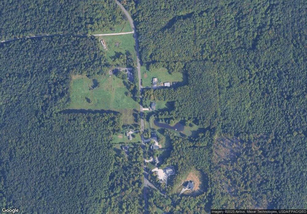
6113 Trask Rd Thompson, OH 44086
Estimated Value: $318,872 - $447,000
3
Beds
1
Bath
1,224
Sq Ft
$326/Sq Ft
Est. Value
About This Home
This home is located at 6113 Trask Rd, Thompson, OH 44086 and is currently estimated at $398,468, approximately $325 per square foot. 6113 Trask Rd is a home located in Lake County with nearby schools including Henry F. Lamuth Middle School and Riverside Junior/Senior High School.
Ownership History
Date
Name
Owned For
Owner Type
Purchase Details
Closed on
Jan 26, 2024
Sold by
Demarco David E
Bought by
Demarco Revocable Living Trust and Demarco
Current Estimated Value
Purchase Details
Closed on
Jan 12, 2024
Sold by
Demarco David E
Bought by
Demarco David E
Purchase Details
Closed on
Sep 12, 2004
Sold by
Simon Joyce
Bought by
Demarco David and Demarco Cynthia
Purchase Details
Closed on
Sep 2, 1976
Bought by
Demarco David E
Create a Home Valuation Report for This Property
The Home Valuation Report is an in-depth analysis detailing your home's value as well as a comparison with similar homes in the area
Purchase History
| Date | Buyer | Sale Price | Title Company |
|---|---|---|---|
| Demarco Revocable Living Trust | -- | None Listed On Document | |
| Demarco David E | -- | None Listed On Document | |
| Demarco David | $25,000 | -- | |
| Demarco David E | -- | -- |
Source: Public Records
Tax History
| Year | Tax Paid | Tax Assessment Tax Assessment Total Assessment is a certain percentage of the fair market value that is determined by local assessors to be the total taxable value of land and additions on the property. | Land | Improvement |
|---|---|---|---|---|
| 2025 | -- | $100,300 | $41,070 | $59,230 |
| 2024 | -- | $100,300 | $41,070 | $59,230 |
| 2023 | $6,051 | $61,650 | $22,690 | $38,960 |
| 2022 | $3,256 | $61,650 | $22,690 | $38,960 |
| 2021 | $3,267 | $61,650 | $22,690 | $38,960 |
| 2020 | $3,083 | $51,360 | $18,900 | $32,460 |
| 2019 | $2,931 | $48,460 | $16,000 | $32,460 |
| 2018 | $2,904 | $48,720 | $18,960 | $29,760 |
| 2017 | $2,983 | $48,720 | $18,960 | $29,760 |
| 2016 | $2,748 | $48,720 | $18,960 | $29,760 |
| 2015 | $2,602 | $48,720 | $18,960 | $29,760 |
| 2014 | $2,651 | $48,720 | $18,960 | $29,760 |
| 2013 | $2,607 | $48,720 | $18,960 | $29,760 |
Source: Public Records
Map
Nearby Homes
- 15594 Moseley Rd
- V/L Leroy Center Rd
- 16107 Moseley Rd
- 6042 Ford Rd
- 5004 River Rd
- 5040 River Rd
- 5810 Dewey Rd
- 7771 Lester Dr
- V/L Painesville-Warren Rd
- 12888 Leroy Center Rd
- 4454 S Ridge Rd
- 6600 Vrooman Rd
- Water Lily Plan at Booth Farm
- Oleander Plan at Booth Farm
- Daffodil Plan at Booth Farm
- Bluebell Plan at Booth Farm
- Forsythia Plan at Booth Farm
- 4426 Oak Ave
- 4795 S Ridge Rd
- 4296 Dogwood Ave
- 6103 Trask Rd
- 6147 Trask Rd
- 6062 Trask Rd Unit 2
- 6062 Trask Rd Unit 1
- 6134 Trask Rd
- 6158 Trask Rd
- 6149 Trask Rd
- 0 Trask Rd Unit 3992596
- 0 Trask Rd Unit 3221447
- 0 Trask Rd Unit 3231453
- 0 Trask Rd Unit 3386261
- 0 Trask Rd Unit 3902448
- 0 Trask Rd Unit 277583
- 0 Trask Rd Unit 258680
- 0 Trask Rd Unit 292135
- 0 Trask Rd Unit 606351
- 0 Trask Rd Unit 4497135
- 0 Trask Rd Unit 4337162
- 0 Trask Rd Unit 3685073
- V/L Trask Rd
