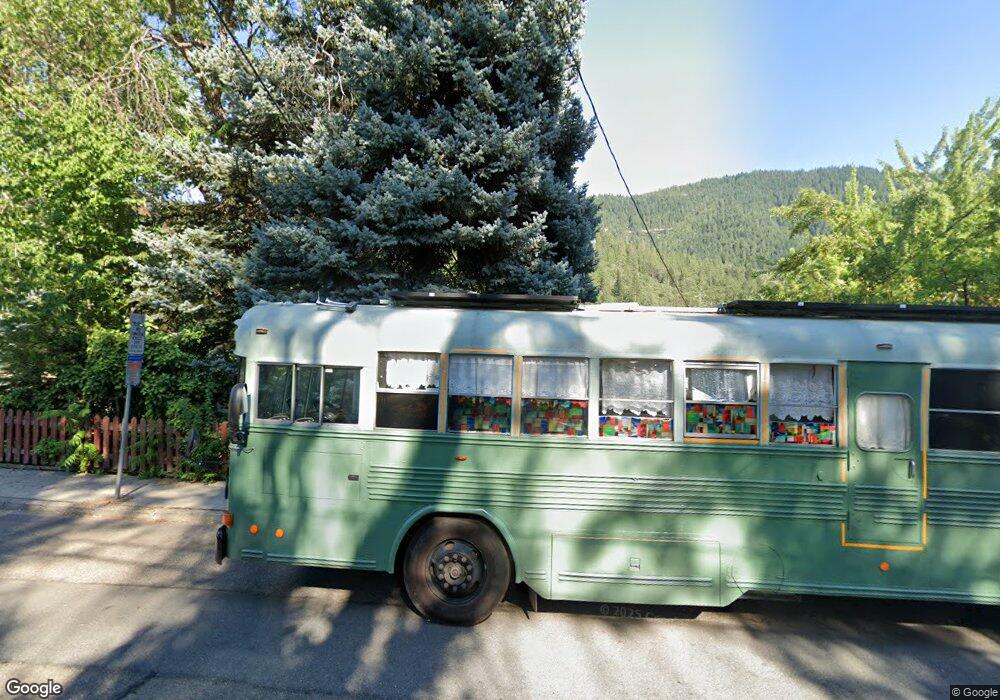
6114 Dunsmuir Ave Dunsmuir, CA 96025
Estimated Value: $247,000 - $289,000
2
Beds
1
Bath
1,300
Sq Ft
$203/Sq Ft
Est. Value
About This Home
This home is located at 6114 Dunsmuir Ave, Dunsmuir, CA 96025 and is currently estimated at $263,347, approximately $202 per square foot. 6114 Dunsmuir Ave is a home located in Siskiyou County with nearby schools including Dunsmuir High School and SCHOOL OF LIVING AWARENESS.
Ownership History
Date
Name
Owned For
Owner Type
Purchase Details
Closed on
Nov 17, 2014
Sold by
Tiersma John and Tiersma Cassandra
Bought by
The John & Cassandra Tiersma Living Trus
Current Estimated Value
Purchase Details
Closed on
Mar 16, 2011
Sold by
Fraga Rick Alan and Moll Eva Jane
Bought by
Tiersma John and Tiersma Cassandra
Home Financials for this Owner
Home Financials are based on the most recent Mortgage that was taken out on this home.
Original Mortgage
$80,000
Outstanding Balance
$55,406
Interest Rate
4.96%
Mortgage Type
New Conventional
Estimated Equity
$207,941
Create a Home Valuation Report for This Property
The Home Valuation Report is an in-depth analysis detailing your home's value as well as a comparison with similar homes in the area
Home Values in the Area
Average Home Value in this Area
Purchase History
| Date | Buyer | Sale Price | Title Company |
|---|---|---|---|
| The John & Cassandra Tiersma Living Trus | -- | None Available | |
| Tiersma John | $108,000 | Mt Shasta Title & Escrow Co |
Source: Public Records
Mortgage History
| Date | Status | Borrower | Loan Amount |
|---|---|---|---|
| Open | Tiersma John | $80,000 |
Source: Public Records
Tax History Compared to Growth
Tax History
| Year | Tax Paid | Tax Assessment Tax Assessment Total Assessment is a certain percentage of the fair market value that is determined by local assessors to be the total taxable value of land and additions on the property. | Land | Improvement |
|---|---|---|---|---|
| 2025 | $1,486 | $138,356 | $32,023 | $106,333 |
| 2023 | $1,486 | $132,986 | $30,781 | $102,205 |
| 2022 | $1,433 | $130,379 | $30,178 | $100,201 |
| 2021 | $1,408 | $127,824 | $29,587 | $98,237 |
| 2020 | $1,396 | $126,514 | $29,284 | $97,230 |
| 2019 | $1,371 | $124,034 | $28,710 | $95,324 |
| 2018 | $1,346 | $121,603 | $28,148 | $93,455 |
| 2017 | $1,323 | $119,220 | $27,597 | $91,623 |
| 2016 | $1,299 | $116,883 | $27,056 | $89,827 |
| 2015 | $1,280 | $115,128 | $26,650 | $88,478 |
| 2014 | $1,259 | $112,873 | $26,128 | $86,745 |
Source: Public Records
Map
Nearby Homes
- 4112 Edyth St
- 6214 Elinore Way
- 6015 Elinore St
- 4400 Allen St
- 6254 Scherrer Ave
- 6272 Gillis St
- 5956 Shasta Ave
- 5969 & 5975 Sacramento Ave
- 4405 Daly St
- 5931 Castle Ave
- 5826 Shasta Ave
- 0 S 1st St
- 220 S 3rd St
- 5704 Shasta Ave
- 5701 Castle Ave
- 5505 Sacramento Ave
- 5327 Dunsmuir Ave
- Lot 6 Block Upper River Ave
- 00 Upper River Ave
- 941 S 1st St
- 6116 Dunsmuir Ave
- 6119 Rose Ave
- 6117 Rose Ave
- 6115 Rose Ave
- 4128 Branstetter St
- 6120 Dunsmuir Ave
- 6109 Rose Ave
- 4122 Branstetter St
- 6125 Rose Ave
- 6125 Rose Ave
- 6124 Dunsmuir Ave
- 4201 Wood St
- 4118 Branstetter St
- 6129 Rose Ave
- 4212 Branstetter St
- 43162022 Branstetter St
- 43164320 Branstetter St
- 6133 Rose Ave
- 6025 Dunsmuir Ave
- 4214 Branstetter St