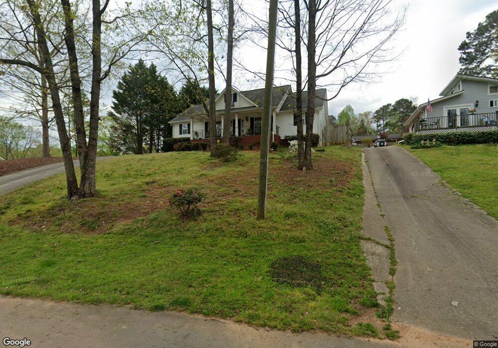
6115 N Point Dr Flowery Branch, GA 30542
Estimated Value: $362,022 - $480,000
3
Beds
2
Baths
1,794
Sq Ft
$240/Sq Ft
Est. Value
About This Home
This home is located at 6115 N Point Dr, Flowery Branch, GA 30542 and is currently estimated at $431,256, approximately $240 per square foot. 6115 N Point Dr is a home located in Hall County with nearby schools including Flowery Branch Elementary School, West Hall Middle School, and West Hall High School.
Ownership History
Date
Name
Owned For
Owner Type
Purchase Details
Closed on
May 18, 2001
Sold by
Ginder Larry J and Ginder Jeanene A
Bought by
Farmer Mitchell C
Current Estimated Value
Home Financials for this Owner
Home Financials are based on the most recent Mortgage that was taken out on this home.
Original Mortgage
$30,700
Outstanding Balance
$11,145
Interest Rate
6.98%
Mortgage Type
New Conventional
Estimated Equity
$420,111
Create a Home Valuation Report for This Property
The Home Valuation Report is an in-depth analysis detailing your home's value as well as a comparison with similar homes in the area
Home Values in the Area
Average Home Value in this Area
Purchase History
| Date | Buyer | Sale Price | Title Company |
|---|---|---|---|
| Farmer Mitchell C | $29,400 | -- |
Source: Public Records
Mortgage History
| Date | Status | Borrower | Loan Amount |
|---|---|---|---|
| Open | Farmer Mitchell C | $30,700 |
Source: Public Records
Tax History Compared to Growth
Tax History
| Year | Tax Paid | Tax Assessment Tax Assessment Total Assessment is a certain percentage of the fair market value that is determined by local assessors to be the total taxable value of land and additions on the property. | Land | Improvement |
|---|---|---|---|---|
| 2025 | $2,690 | $121,680 | $11,800 | $109,880 |
| 2024 | $2,957 | $118,760 | $11,800 | $106,960 |
| 2023 | $2,383 | $111,320 | $11,800 | $99,520 |
| 2022 | $2,317 | $89,080 | $11,800 | $77,280 |
| 2021 | $2,094 | $79,000 | $7,360 | $71,640 |
| 2020 | $2,049 | $75,120 | $7,360 | $67,760 |
| 2019 | $1,927 | $70,000 | $7,360 | $62,640 |
| 2018 | $1,773 | $62,320 | $7,360 | $54,960 |
| 2017 | $2,029 | $72,149 | $7,400 | $64,749 |
| 2016 | $1,981 | $72,149 | $7,400 | $64,749 |
| 2015 | $1,996 | $72,149 | $7,400 | $64,749 |
| 2014 | $1,996 | $72,149 | $7,400 | $64,749 |
Source: Public Records
Map
Nearby Homes
- 6135 White Oak Dr
- 6137 White Oak Dr
- 6091 Gc Crow Rd
- 6025 River Oaks Dr
- 5580 Point West Dr
- 5704 Sallee Cir
- 5724 Sallee Cir
- 5540 Stone Trace
- 5626 Sallee Ave
- 5411 Mayflower Ct
- 5837 Meadow View Ln
- 5303 Stone Trace
- 5431 Mayflower Ct
- 5257 Flat Creek Rd
- 5729 Jim Crow Rd
- 5867 Meadow View Ln
- 5209 Byers Rd
- 5993 Overby Rd
- 5659 Nags Head Cir
- 5127 Jay Creek Rd
- 6117 N Point Dr
- 6120 White Oak Dr
- 6117 White Oak Dr
- 6121 N Point Dr
- 6111 White Oak Dr
- 6121 White Oak Dr
- 6124 White Oak Dr
- 6114 N Point Dr
- 6122 N Point Dr
- 6130 Oak Hill Dr
- 6105 White Oak Dr
- 6102 White Oak Dr
- 6136 Oak Hill Dr
- 6129 White Oak Dr
- 6144 Oak Hill Dr
- N N Point Dr Unit A
- N N Point Dr
- 6124 N Point Dr
- 6124 Oak Hill Dr
- 6103 White Oak Dr