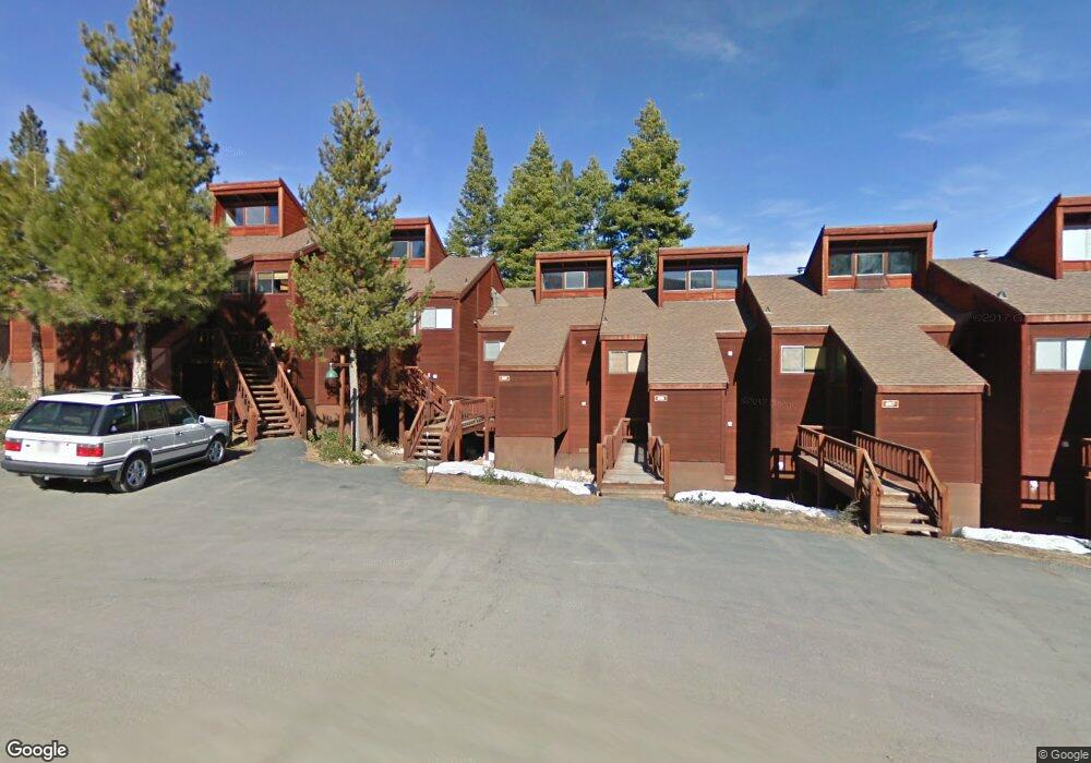
6115 Rocky Point Cir Truckee, CA 96161
South Truckee NeighborhoodEstimated Value: $713,000 - $733,000
2
Beds
2
Baths
1,000
Sq Ft
$724/Sq Ft
Est. Value
About This Home
This home is located at 6115 Rocky Point Cir, Truckee, CA 96161 and is currently estimated at $723,742, approximately $723 per square foot. 6115 Rocky Point Cir is a home located in Placer County with nearby schools including Truckee Elementary School, Alder Creek Middle School, and Tahoe Truckee High School.
Ownership History
Date
Name
Owned For
Owner Type
Purchase Details
Closed on
Dec 24, 2009
Sold by
Dab Michael G and Dab Susan B
Bought by
Dab Michael G and Dab Susan B
Current Estimated Value
Purchase Details
Closed on
Jul 20, 1999
Sold by
Reimann Donald H and Reimann Christine G
Bought by
Dab Michael G and Dab Susan B
Home Financials for this Owner
Home Financials are based on the most recent Mortgage that was taken out on this home.
Original Mortgage
$236,000
Outstanding Balance
$65,845
Interest Rate
7.51%
Estimated Equity
$657,897
Create a Home Valuation Report for This Property
The Home Valuation Report is an in-depth analysis detailing your home's value as well as a comparison with similar homes in the area
Home Values in the Area
Average Home Value in this Area
Purchase History
| Date | Buyer | Sale Price | Title Company |
|---|---|---|---|
| Dab Michael G | -- | None Available | |
| Dab Michael G | $295,000 | Fidelity National Title |
Source: Public Records
Mortgage History
| Date | Status | Borrower | Loan Amount |
|---|---|---|---|
| Open | Dab Michael G | $236,000 |
Source: Public Records
Tax History Compared to Growth
Tax History
| Year | Tax Paid | Tax Assessment Tax Assessment Total Assessment is a certain percentage of the fair market value that is determined by local assessors to be the total taxable value of land and additions on the property. | Land | Improvement |
|---|---|---|---|---|
| 2025 | $7,343 | $453,383 | $136,008 | $317,375 |
| 2023 | $7,343 | $435,779 | $130,728 | $305,051 |
| 2022 | $7,048 | $427,235 | $128,165 | $299,070 |
| 2021 | $6,545 | $418,858 | $125,652 | $293,206 |
| 2020 | $6,435 | $405,000 | $123,000 | $282,000 |
| 2019 | $6,357 | $390,000 | $118,000 | $272,000 |
| 2018 | $6,077 | $380,000 | $115,000 | $265,000 |
| 2017 | $5,981 | $375,000 | $113,000 | $262,000 |
| 2016 | $6,012 | $375,000 | $112,500 | $262,500 |
| 2015 | $5,611 | $347,000 | $104,100 | $242,900 |
| 2014 | $5,617 | $295,000 | $100,000 | $195,000 |
Source: Public Records
Map
Nearby Homes
- 6133 Feather Ridge
- 6138 Feather Ridge
- 6070 Rocky Point Cir
- 1055 Martis Landing Unit B
- 2790 Cross Cut Ct
- 2640 Mill Site Rd
- 2785 Cross Cut Ct
- 1723 Grouse Ridge Rd Unit 4
- 5107 Gold Bend
- 5053 Gold Bend
- 5080 Gold Bend
- 5030 Gold Bend
- 1937 Gray Wolf
- 253 Basque Dr Unit Share 2
- 1750 Grouse Ridge Rd
- 2344 Overlook Place
- 7201 Larkspur Ln Unit 4
- 237 Basque Dr Unit 2
- 7401 Larkspur Ln Unit 1
- 2301 Overlook Place
- 6116 Rocky Point Cir
- 6114 Rocky Point Cir
- 6117 Rocky Point Cir
- 6118 Rocky Point Cir
- 6113 Rocky Point Cir
- 6112 Rocky Point Cir
- 6119 Rocky Point Cir
- 6111 Rocky Point Cir
- 6120 Rocky Point Cir Unit 120
- 6120 Rocky Point Cir
- 6110 Rocky Point Cir
- 6121 Rocky Point Cir
- 6109 Rocky Point Cir
- 6122 Rocky Point Cir Unit 122
- 6108 Rocky Point Cir
- 6084 Rocky Point Cir
- 6123 Rocky Point Cir
- 6082 Rocky Point Cir
- 6107 Rocky Point Cir
- 6083 Rocky Point Cir