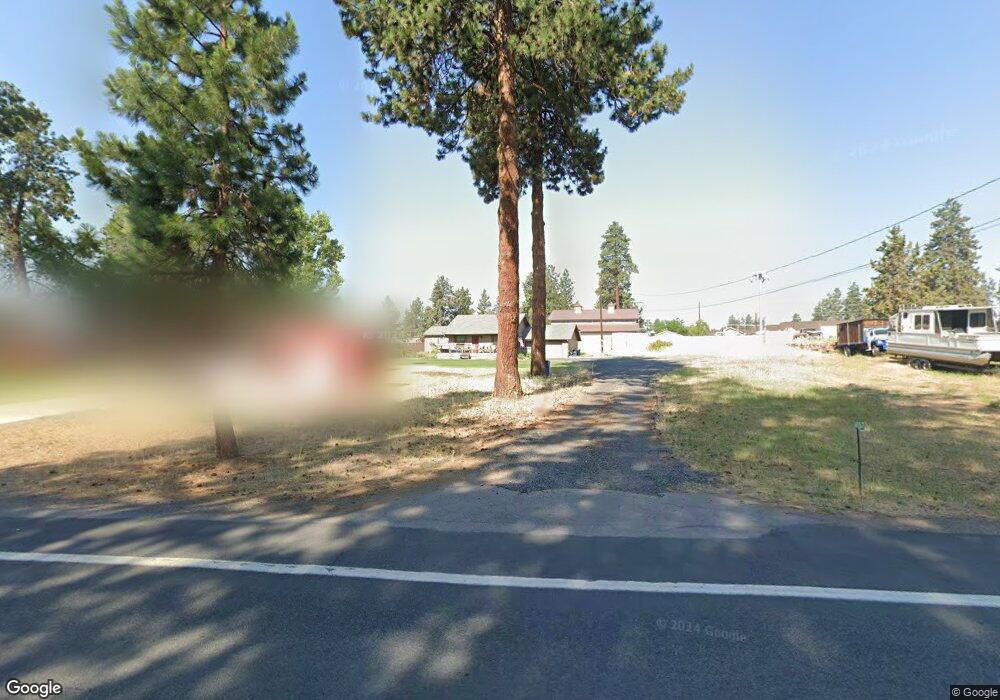
61167 Parrell Rd Bend, OR 97702
Old Farm District NeighborhoodEstimated Value: $342,000 - $674,000
2
Beds
1
Bath
1,189
Sq Ft
$418/Sq Ft
Est. Value
About This Home
This home is located at 61167 Parrell Rd, Bend, OR 97702 and is currently estimated at $496,469, approximately $417 per square foot. 61167 Parrell Rd is a home located in Deschutes County with nearby schools including R.E. Jewell Elementary School, High Desert Middle School, and Deschutes River Montessori School.
Ownership History
Date
Name
Owned For
Owner Type
Purchase Details
Closed on
Oct 19, 2022
Sold by
Roats Family Trust
Bought by
Roats Family Llc
Current Estimated Value
Purchase Details
Closed on
Sep 29, 2022
Sold by
Roats Family Trust
Bought by
Roats Family Llc
Purchase Details
Closed on
Jun 17, 2014
Sold by
Roats William K and Roats Shirley E
Bought by
Roats Family Trust
Purchase Details
Closed on
Jan 5, 2012
Sold by
Roats Michelle Diane
Bought by
Roats William K and Roats Shirley E
Purchase Details
Closed on
Jan 17, 2011
Sold by
Federal Home Loan Mortgage Corporation
Bought by
Roats Michelle Diane
Purchase Details
Closed on
Sep 21, 2010
Sold by
Duhn R Eric
Bought by
Federal Home Loan Mortgage Corp
Create a Home Valuation Report for This Property
The Home Valuation Report is an in-depth analysis detailing your home's value as well as a comparison with similar homes in the area
Home Values in the Area
Average Home Value in this Area
Purchase History
| Date | Buyer | Sale Price | Title Company |
|---|---|---|---|
| Roats Family Llc | $113 | -- | |
| Roats Family Llc | -- | -- | |
| Roats Family Trust | -- | None Available | |
| Roats William K | $83,900 | None Available | |
| Roats Michelle Diane | $83,900 | Multiple | |
| Federal Home Loan Mortgage Corp | $109,000 | Amerititle |
Source: Public Records
Tax History
| Year | Tax Paid | Tax Assessment Tax Assessment Total Assessment is a certain percentage of the fair market value that is determined by local assessors to be the total taxable value of land and additions on the property. | Land | Improvement |
|---|---|---|---|---|
| 2025 | $1,824 | $107,950 | -- | -- |
| 2024 | $1,755 | $104,810 | -- | -- |
| 2023 | $1,627 | $101,760 | $0 | $0 |
| 2022 | $1,518 | $95,930 | $0 | $0 |
| 2021 | $1,520 | $93,140 | $0 | $0 |
| 2020 | $1,442 | $93,140 | $0 | $0 |
| 2019 | $1,402 | $90,430 | $0 | $0 |
| 2018 | $1,363 | $87,800 | $0 | $0 |
| 2017 | $1,323 | $85,250 | $0 | $0 |
| 2016 | $1,261 | $82,770 | $0 | $0 |
| 2015 | $1,227 | $80,360 | $0 | $0 |
| 2014 | $1,190 | $78,022 | $0 | $0 |
Source: Public Records
Map
Nearby Homes
- 20221 Silver Sage St
- 20246 Gaines Ct
- 61280 Parrell Rd Unit 10
- 61022 Parrell Rd
- 20176 Hawes Ln
- 0 Pinebrook Blvd Unit 220199740
- 61304 SE Wizard Ln Unit 8
- 20098 Elizabeth Ln
- 20017 Voltera Place
- 20080 Mount Hope Ln
- 20381 Aberdeen Dr
- 61150 Geary Dr
- 20302 Knightsbridge Place
- 20086 Porter Place
- 20414 Murphy Rd
- 20382 Penhollow Ln
- 60956 SE Miles Ct
- 61336 Elkhorn St
- 61194 Geary Dr
- 61379 Sally Ln
- 61165 Parrell Rd
- 61181 Parrell Rd
- 61087 Parrell Rd
- 0 Parrell Rd
- 61255 Parrell Rd
- 61118 Parrell Rd
- 61189 Parrell Rd
- 61180 Parrell Rd
- 61151 Parrell Rd
- 61154 Hamilton Ln
- 61170 Parrell Rd Unit Pt 1
- 61167 Hamilton Ln
- 61148 Hamilton Ln
- 61161 Hamiltion Ln
- 61161 Hamilton Ln
- 61192 Parrell Rd
- 20229 Silver Sage St
- 61197 Parrell Rd
- 61200 Parrell Rd
- 20192 Roats Ln
Your Personal Tour Guide
Ask me questions while you tour the home.