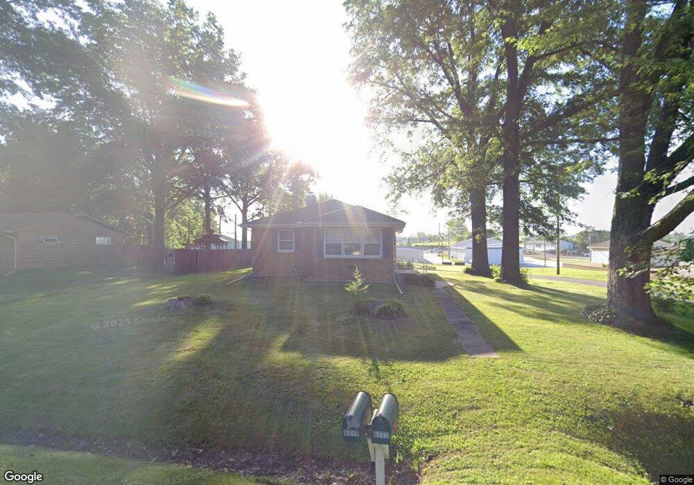
6117 Fair Ave Davenport, IA 52806
North Side NeighborhoodEstimated Value: $152,000 - $186,000
2
Beds
3
Baths
1,064
Sq Ft
$155/Sq Ft
Est. Value
About This Home
This home is located at 6117 Fair Ave, Davenport, IA 52806 and is currently estimated at $165,294, approximately $155 per square foot. 6117 Fair Ave is a home located in Scott County with nearby schools including Cumberland Hall School, Harrison Elementary School, and Academy Of Continuing Education.
Ownership History
Date
Name
Owned For
Owner Type
Purchase Details
Closed on
Apr 21, 2008
Sold by
Spray Sherri L
Bought by
Kasperavicius Juozas
Current Estimated Value
Purchase Details
Closed on
Jun 10, 2005
Sold by
Housman Eugene I and Housman Marilyn G
Bought by
Spray Sherri L
Home Financials for this Owner
Home Financials are based on the most recent Mortgage that was taken out on this home.
Original Mortgage
$76,500
Interest Rate
5.91%
Mortgage Type
New Conventional
Create a Home Valuation Report for This Property
The Home Valuation Report is an in-depth analysis detailing your home's value as well as a comparison with similar homes in the area
Home Values in the Area
Average Home Value in this Area
Purchase History
| Date | Buyer | Sale Price | Title Company |
|---|---|---|---|
| Kasperavicius Juozas | $97,000 | None Available | |
| Spray Sherri L | $75,500 | None Available |
Source: Public Records
Mortgage History
| Date | Status | Borrower | Loan Amount |
|---|---|---|---|
| Previous Owner | Spray Sherri L | $76,500 |
Source: Public Records
Tax History Compared to Growth
Tax History
| Year | Tax Paid | Tax Assessment Tax Assessment Total Assessment is a certain percentage of the fair market value that is determined by local assessors to be the total taxable value of land and additions on the property. | Land | Improvement |
|---|---|---|---|---|
| 2025 | $2,392 | $148,860 | $28,620 | $120,240 |
| 2024 | $2,334 | $133,820 | $28,620 | $105,200 |
| 2023 | $2,492 | $133,820 | $28,620 | $105,200 |
| 2022 | $2,504 | $116,670 | $20,030 | $96,640 |
| 2021 | $2,504 | $116,670 | $20,030 | $96,640 |
| 2020 | $2,260 | $104,050 | $20,030 | $84,020 |
| 2019 | $2,334 | $104,050 | $20,030 | $84,020 |
| 2018 | $2,230 | $104,050 | $20,030 | $84,020 |
| 2017 | $565 | $101,540 | $20,030 | $81,510 |
| 2016 | $2,094 | $95,650 | $0 | $0 |
| 2015 | $2,094 | $97,300 | $0 | $0 |
| 2014 | $2,160 | $97,300 | $0 | $0 |
| 2013 | $2,124 | $0 | $0 | $0 |
| 2012 | -- | $101,990 | $23,440 | $78,550 |
Source: Public Records
Map
Nearby Homes
- 6127 Fair Ave
- 6209 Fair Ave
- 6109 N Brady St
- 6205 N Ripley St
- 6112 Western Ave
- 655 W 64th St
- 665 W 64th St
- 671 W 64th St
- 6322 Appomattox Rd
- 6308 Appomattox Rd
- LOT 54 Franklin Ave
- Lot 56 Franklin Ave
- 6015 Vine St
- Lot 26 Benjamin Ct
- 1005 W 58th St
- 1033 W 58th St
- 6310 Deere Creek Ln
- 1070 Olde Brandy Ln
- 710 Northbrook Dr
- 611 Northbrook Dr