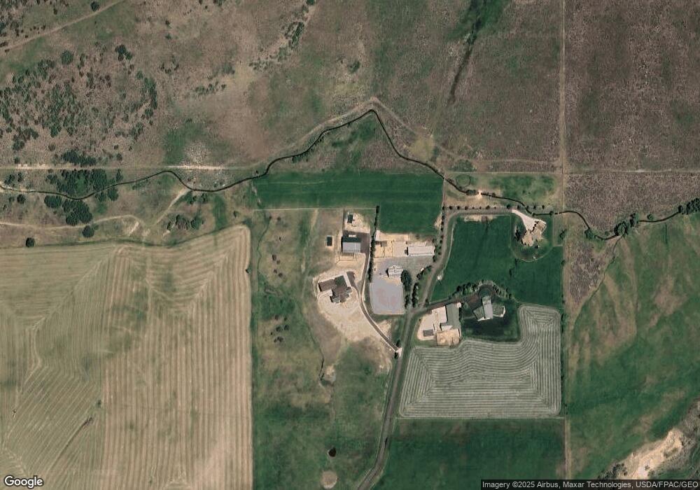
6117 Rocky Ridge Rd Peoa, UT 84061
Kamas Valley NeighborhoodEstimated Value: $4,947,000 - $5,128,000
--
Bed
4
Baths
6,360
Sq Ft
$788/Sq Ft
Est. Value
About This Home
This home is located at 6117 Rocky Ridge Rd, Peoa, UT 84061 and is currently estimated at $5,009,076, approximately $787 per square foot. 6117 Rocky Ridge Rd is a home located in Summit County with nearby schools including South Summit Elementary School and South Summit High School.
Ownership History
Date
Name
Owned For
Owner Type
Purchase Details
Closed on
Oct 4, 2022
Sold by
Johnson Rustin G and Johnson Cheri A
Bought by
Crj Peoa Farm Llc
Current Estimated Value
Purchase Details
Closed on
Sep 28, 2022
Sold by
Crj Peoa Farm Llc
Bought by
Johnson Rustin G and Johnson Cheri A
Purchase Details
Closed on
Jul 9, 2020
Sold by
Johnson Cheri Ann Williams and Johnson Rustin Guy
Bought by
Crj Peoa Farm Llc
Purchase Details
Closed on
Apr 30, 2018
Sold by
Haymore Bruce H
Bought by
Williams Cheri Ann and Johnson Rustin Guy
Create a Home Valuation Report for This Property
The Home Valuation Report is an in-depth analysis detailing your home's value as well as a comparison with similar homes in the area
Home Values in the Area
Average Home Value in this Area
Purchase History
| Date | Buyer | Sale Price | Title Company |
|---|---|---|---|
| Crj Peoa Farm Llc | -- | Capstone Title & Escrow | |
| Johnson Rustin G | -- | -- | |
| Crj Peoa Farm Llc | -- | None Available | |
| Williams Cheri Ann | -- | Coaliton Title Agency Inc |
Source: Public Records
Tax History Compared to Growth
Tax History
| Year | Tax Paid | Tax Assessment Tax Assessment Total Assessment is a certain percentage of the fair market value that is determined by local assessors to be the total taxable value of land and additions on the property. | Land | Improvement |
|---|---|---|---|---|
| 2024 | $7,820 | $1,498,541 | $128,356 | $1,370,185 |
| 2023 | $7,820 | $1,498,130 | $127,945 | $1,370,185 |
| 2022 | $7,184 | $1,148,776 | $169,203 | $979,573 |
| 2021 | $346 | $4,368 | $4,368 | $0 |
| 2020 | $341 | $4,368 | $4,368 | $0 |
| 2019 | $38 | $4,295 | $4,295 | $0 |
| 2018 | $343 | $4,981 | $4,981 | $0 |
| 2017 | $333 | $5,187 | $5,187 | $0 |
| 2016 | $311 | $5,187 | $5,187 | $0 |
| 2015 | $45 | $5,187 | $0 | $0 |
| 2013 | $48 | $5,187 | $0 | $0 |
Source: Public Records
Map
Nearby Homes
- 6117 Rocky Ridge Rd
- 6117 N Rocky Ridge Rd
- 2640 W State Road 32
- 2575 W State Road 32
- 5685 N State Road 32
- 5661 N State Road 32
- 7795 Browns Rd
- 6325 N Elk Ridge Rd Unit 5
- 1788 W Farmhouse Flats Rd
- 1788 W Farmhouse Flats Rd Unit 5
- 5167 Rodeo Cir
- 5167 Rodeo Cir Unit 6
- 5402 N 750 W
- 7795 Browns Canyon Rd
- 972 River Haven Rd Unit 101
- 949 River Haven Rd S Unit 115
- 1400 E Weber Wild Rd
- 4498 E Weber Canyon Rd S
- 5467 E Lewis And Clark Rd N
- 87 N Yosemite Unit 87A
- 6117 Rocky Ridge Rd Unit 2
- 6118 Rocky Ridge Rd
- 5780 N Doc's Ln
- 5780 N Docs Cir
- 5780 Doc's Ln
- 6176 Rocky Ridge Rd
- 5770 Crandall Cir
- 5715 Docs Ln
- 1858 Farmhouse
- 6225 Elk Ridge Rd
- 6225 Elk Ridge Rd Unit 3
- 6225 Elk Rd Unit 3
- 1858 Farmhouse Unit 3
- 2554 W State Road 32
- 5619 N Docs Ln
- 5619 Docs Ln
- 2564 W State Road 32
- 2604 W State Road 32
- 2640 W Sr 32
- 2578 W Hwy 189