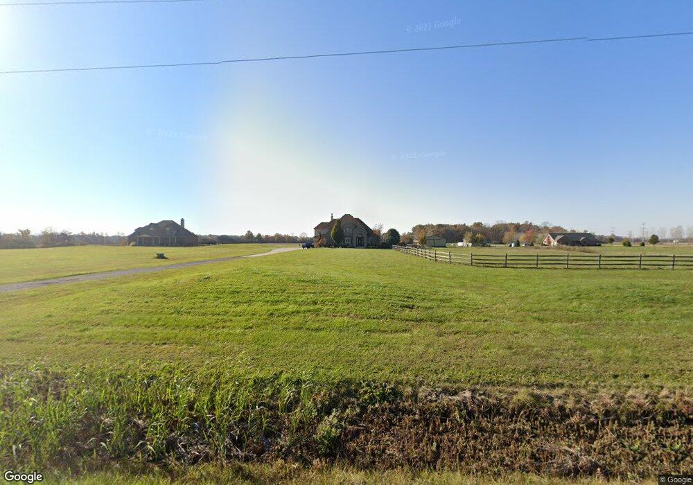
6119 Williams Rd Newport, MI 48166
Estimated Value: $600,000 - $757,415
4
Beds
4
Baths
4,000
Sq Ft
$173/Sq Ft
Est. Value
About This Home
This home is located at 6119 Williams Rd, Newport, MI 48166 and is currently estimated at $692,138, approximately $173 per square foot. 6119 Williams Rd is a home located in Monroe County with nearby schools including Jefferson High School.
Ownership History
Date
Name
Owned For
Owner Type
Purchase Details
Closed on
May 10, 2016
Sold by
Harris Jerry M
Bought by
Harris Jerry M and Harris Joanne L
Current Estimated Value
Purchase Details
Closed on
May 28, 2010
Sold by
Federal Home Loan Mortgage Corporation
Bought by
Harris Jerry Michael
Home Financials for this Owner
Home Financials are based on the most recent Mortgage that was taken out on this home.
Original Mortgage
$261,478
Outstanding Balance
$176,613
Interest Rate
5.13%
Mortgage Type
FHA
Estimated Equity
$515,525
Purchase Details
Closed on
Jul 2, 2009
Sold by
Langton Michael
Bought by
Federal Home Loan Mortgage Corp
Create a Home Valuation Report for This Property
The Home Valuation Report is an in-depth analysis detailing your home's value as well as a comparison with similar homes in the area
Home Values in the Area
Average Home Value in this Area
Purchase History
| Date | Buyer | Sale Price | Title Company |
|---|---|---|---|
| Harris Jerry M | -- | Attorney | |
| Harris Jerry Michael | $265,000 | -- | |
| Federal Home Loan Mortgage Corp | $231,208 | -- |
Source: Public Records
Mortgage History
| Date | Status | Borrower | Loan Amount |
|---|---|---|---|
| Open | Harris Jerry Michael | $261,478 |
Source: Public Records
Tax History Compared to Growth
Tax History
| Year | Tax Paid | Tax Assessment Tax Assessment Total Assessment is a certain percentage of the fair market value that is determined by local assessors to be the total taxable value of land and additions on the property. | Land | Improvement |
|---|---|---|---|---|
| 2025 | $6,972 | $386,400 | $386,400 | $0 |
| 2024 | $2,481 | $366,500 | $0 | $0 |
| 2023 | $2,363 | $343,500 | $0 | $0 |
| 2022 | $6,317 | $343,500 | $0 | $0 |
| 2021 | $6,153 | $283,600 | $0 | $0 |
| 2020 | $6,193 | $229,000 | $0 | $0 |
| 2019 | $5,834 | $229,000 | $0 | $0 |
| 2018 | $5,690 | $222,200 | $0 | $0 |
| 2017 | $2,017 | $222,200 | $0 | $0 |
| 2016 | $5,510 | $220,900 | $0 | $0 |
| 2015 | $5,330 | $181,700 | $0 | $0 |
| 2014 | $5,259 | $181,700 | $0 | $0 |
| 2013 | -- | $179,600 | $0 | $0 |
Source: Public Records
Map
Nearby Homes
- 0 Williams Rd Unit 50112219
- 5437 Mustang Dr
- 5022 N Stoney Creek Rd
- 000 N Dixie
- 2831 Nadeau Rd
- 0 Nadeau Rd
- 7393 Newport Rd S
- 4077 Brest Rd
- 4040 W Shore Ct
- 4261 Brest Rd
- 3469 Clairmont St
- 0 Noel Unit 50171800
- 3181 Glendale St
- 3087 N Dixie Hwy
- 4511 Burke Rd
- 4992 Post Rd
- 00000 N Dixie Hwy
- 3079 S Grove Dr
- 4971 Elm St
- 3134 Charme Harbor Dr
- 6087 Williams Rd
- 6141 Williams Rd
- 6185 Williams Rd
- 6156 Williams Rd
- 6068 Williams Rd
- 6040 Williams Rd
- 5993 Williams Rd
- 5979 Williams Rd
- 6248 Williams Rd
- 6279 Williams Rd
- 5839 Williams Rd
- 6294 Williams Rd
- 6334 Williams Rd
- 6377 Williams Rd
- 5830 Williams Rd
- 5922 Newport Rd S
- 5818 Newport South Rd
- 5818 Newport South Rd
- 5818 Newport South Rd
- 5950 Newport South Rd
