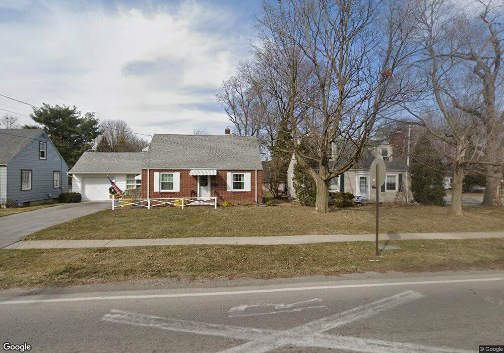
612 6th St Findlay, OH 45840
Estimated Value: $135,332 - $162,000
4
Beds
1
Bath
1,080
Sq Ft
$139/Sq Ft
Est. Value
About This Home
This home is located at 612 6th St, Findlay, OH 45840 and is currently estimated at $149,833, approximately $138 per square foot. 612 6th St is a home located in Hancock County with nearby schools including Whittier Elementary School, Wilson Vance Elementary School, and Donnell Middle School.
Ownership History
Date
Name
Owned For
Owner Type
Purchase Details
Closed on
Jul 25, 2024
Sold by
Parker Robert F
Bought by
Inter-Vivos Revocable Trust and Parker
Current Estimated Value
Purchase Details
Closed on
Jun 17, 1991
Bought by
Parker Michael A
Purchase Details
Closed on
Dec 1, 1988
Bought by
Njb Enterprise
Purchase Details
Closed on
Jul 1, 1985
Bought by
Daving Brian R and Daving Shavon M
Create a Home Valuation Report for This Property
The Home Valuation Report is an in-depth analysis detailing your home's value as well as a comparison with similar homes in the area
Home Values in the Area
Average Home Value in this Area
Purchase History
| Date | Buyer | Sale Price | Title Company |
|---|---|---|---|
| Inter-Vivos Revocable Trust | -- | None Listed On Document | |
| Inter-Vivos Revocable Trust | -- | None Listed On Document | |
| Parker Michael A | $46,000 | -- | |
| Njb Enterprise | $44,000 | -- | |
| Daving Brian R | $40,000 | -- |
Source: Public Records
Tax History Compared to Growth
Tax History
| Year | Tax Paid | Tax Assessment Tax Assessment Total Assessment is a certain percentage of the fair market value that is determined by local assessors to be the total taxable value of land and additions on the property. | Land | Improvement |
|---|---|---|---|---|
| 2024 | $1,278 | $35,070 | $4,950 | $30,120 |
| 2023 | $1,281 | $35,070 | $4,950 | $30,120 |
| 2022 | $1,276 | $35,070 | $4,950 | $30,120 |
| 2021 | $1,095 | $26,210 | $4,960 | $21,250 |
| 2020 | $1,095 | $26,210 | $4,960 | $21,250 |
| 2019 | $1,073 | $26,210 | $4,960 | $21,250 |
| 2018 | $1,031 | $23,050 | $4,510 | $18,540 |
| 2017 | $1,029 | $23,050 | $4,510 | $18,540 |
| 2016 | $1,025 | $23,050 | $4,510 | $18,540 |
| 2015 | $825 | $18,350 | $2,250 | $16,100 |
| 2014 | $802 | $18,350 | $2,250 | $16,100 |
| 2012 | $811 | $18,350 | $2,250 | $16,100 |
Source: Public Records
Map
Nearby Homes
- 608 6th St
- 1420 S Blanchard St
- 604 6th St
- 706 6th St
- 1423 S Blanchard St
- 600 6th St
- 1419 S Blanchard St
- 609 6th St
- 1408 S Blanchard St
- 1415 S Blanchard St
- 714 6th St
- 605 6th St
- 1404 S Blanchard St
- 1411 S Blanchard St
- 603 6th St
- 720 6th St
- 1407 S Blanchard St
- 1400 S Blanchard St
- 711 5th St
- 1403 S Blanchard St