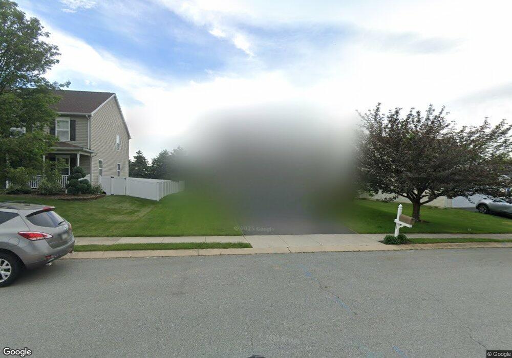
612 Bartlett Dr Dallastown, PA 17313
Estimated Value: $335,000 - $387,000
4
Beds
3
Baths
2,240
Sq Ft
$161/Sq Ft
Est. Value
About This Home
This home is located at 612 Bartlett Dr, Dallastown, PA 17313 and is currently estimated at $359,809, approximately $160 per square foot. 612 Bartlett Dr is a home located in York County with nearby schools including Ore Valley Elementary School, Dallastown Area Middle School, and Dallastown Area High School.
Ownership History
Date
Name
Owned For
Owner Type
Purchase Details
Closed on
Feb 14, 2011
Sold by
Snyder Nathan and Snyder Stacey
Bought by
Snyder Nathan
Current Estimated Value
Home Financials for this Owner
Home Financials are based on the most recent Mortgage that was taken out on this home.
Original Mortgage
$156,700
Outstanding Balance
$108,691
Interest Rate
5.07%
Mortgage Type
New Conventional
Estimated Equity
$251,118
Purchase Details
Closed on
Sep 30, 2004
Sold by
First Avalong Lp
Bought by
Snyder Nathan and Snyder Stacey
Home Financials for this Owner
Home Financials are based on the most recent Mortgage that was taken out on this home.
Original Mortgage
$156,908
Interest Rate
5.84%
Mortgage Type
Purchase Money Mortgage
Create a Home Valuation Report for This Property
The Home Valuation Report is an in-depth analysis detailing your home's value as well as a comparison with similar homes in the area
Home Values in the Area
Average Home Value in this Area
Purchase History
| Date | Buyer | Sale Price | Title Company |
|---|---|---|---|
| Snyder Nathan | -- | None Available | |
| Snyder Nathan | $197,185 | -- |
Source: Public Records
Mortgage History
| Date | Status | Borrower | Loan Amount |
|---|---|---|---|
| Open | Snyder Nathan | $156,700 | |
| Closed | Snyder Nathan | $156,908 |
Source: Public Records
Tax History Compared to Growth
Tax History
| Year | Tax Paid | Tax Assessment Tax Assessment Total Assessment is a certain percentage of the fair market value that is determined by local assessors to be the total taxable value of land and additions on the property. | Land | Improvement |
|---|---|---|---|---|
| 2025 | $6,715 | $195,620 | $37,940 | $157,680 |
| 2024 | $6,617 | $195,620 | $37,940 | $157,680 |
| 2023 | $6,617 | $195,620 | $37,940 | $157,680 |
| 2022 | $6,401 | $195,620 | $37,940 | $157,680 |
| 2021 | $6,097 | $195,620 | $37,940 | $157,680 |
| 2020 | $6,097 | $195,620 | $37,940 | $157,680 |
| 2019 | $6,078 | $195,620 | $37,940 | $157,680 |
| 2018 | $6,037 | $195,620 | $37,940 | $157,680 |
| 2017 | $5,796 | $195,620 | $37,940 | $157,680 |
| 2016 | $0 | $195,620 | $37,940 | $157,680 |
| 2015 | -- | $195,620 | $37,940 | $157,680 |
| 2014 | -- | $195,620 | $37,940 | $157,680 |
Source: Public Records
Map
Nearby Homes
- 2981 Sunset Dr
- 263 W Main St
- 53 S Franklin St
- 79 S Franklin St
- 141 W Water St
- 74 S Main St
- 197 S Main St
- 114 Heather Glen Dr
- 18 E Howard St
- 55 Belmar Dr
- 374 Avon Dr Unit 282
- 350 Avon Dr Unit 270
- 443 Bradford Dr Unit 183
- 439 Bradford Dr Unit 185
- 437 Bradford Dr Unit 186
- 435 Bradford Dr Unit 187
- 433 Bradford Dr Unit 188
- 195 Coventry Rd
- 444 Bradford Dr Unit 55
- 438 Bradford Dr Unit 58
- 616 Bartlett Dr
- 608 Bartlett Dr
- 620 Bartlett Dr
- 604 Bartlett Dr
- 601 Butterfly Cir
- 600 Butterfly Cir
- 600 Bartlett Dr
- 624 Bartlett Dr
- 603 Butterfly Cir
- 618 Blossom Hill Ln
- 602 Butterfly Cir
- 601 Bartlett Dr
- 605 Butterfly Cir
- 622 Blossom Hill Ln
- 604 Butterfly Cir
- 611 Harvest Dr
- 602 Harvest Dr
- 626 Blossom Hill Ln
- 604 Harvest Dr
- 607 Butterfly Cir