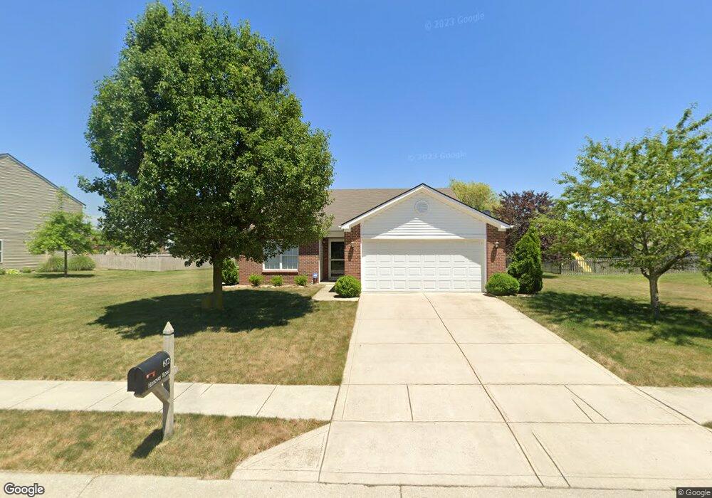
612 Hanover Rd Brownsburg, IN 46112
Estimated Value: $277,000 - $304,000
3
Beds
2
Baths
1,501
Sq Ft
$196/Sq Ft
Est. Value
About This Home
This home is located at 612 Hanover Rd, Brownsburg, IN 46112 and is currently estimated at $294,395, approximately $196 per square foot. 612 Hanover Rd is a home located in Hendricks County with nearby schools including Cardinal Elementary School, Brownsburg West Middle School, and Brownsburg High School.
Ownership History
Date
Name
Owned For
Owner Type
Purchase Details
Closed on
Nov 28, 2007
Sold by
Centex Homes
Bought by
Growcock Jeffrey W
Current Estimated Value
Home Financials for this Owner
Home Financials are based on the most recent Mortgage that was taken out on this home.
Original Mortgage
$93,341
Outstanding Balance
$59,173
Interest Rate
6.33%
Mortgage Type
New Conventional
Estimated Equity
$235,222
Create a Home Valuation Report for This Property
The Home Valuation Report is an in-depth analysis detailing your home's value as well as a comparison with similar homes in the area
Home Values in the Area
Average Home Value in this Area
Purchase History
| Date | Buyer | Sale Price | Title Company |
|---|---|---|---|
| Growcock Jeffrey W | -- | None Available |
Source: Public Records
Mortgage History
| Date | Status | Borrower | Loan Amount |
|---|---|---|---|
| Open | Growcock Jeffrey W | $93,341 |
Source: Public Records
Tax History Compared to Growth
Tax History
| Year | Tax Paid | Tax Assessment Tax Assessment Total Assessment is a certain percentage of the fair market value that is determined by local assessors to be the total taxable value of land and additions on the property. | Land | Improvement |
|---|---|---|---|---|
| 2024 | $2,547 | $254,700 | $49,500 | $205,200 |
| 2023 | $2,296 | $229,600 | $44,200 | $185,400 |
| 2022 | $2,047 | $204,700 | $41,000 | $163,700 |
| 2021 | $1,751 | $175,100 | $37,200 | $137,900 |
| 2020 | $1,616 | $161,600 | $37,200 | $124,400 |
| 2019 | $1,549 | $154,900 | $35,600 | $119,300 |
| 2018 | $1,523 | $152,300 | $35,600 | $116,700 |
| 2017 | $1,421 | $142,100 | $33,200 | $108,900 |
| 2016 | $1,383 | $138,300 | $33,200 | $105,100 |
| 2014 | $1,229 | $122,900 | $30,700 | $92,200 |
Source: Public Records
Map
Nearby Homes
- 4475 Yellowwood Ave
- 4481 Yellowwood Ave
- 4497 Yellowwood Ave
- 4501 Yellowwood Ave
- 4507 Yellowwood Ave
- 4472 Yellowwood Ave
- 4476 Yellowwood Ave
- 4494 Yellowwood Ave
- 4498 Yellowwood Ave
- 4502 Yellowwood Ave
- 4504 Yellowwood Ave
- 4508 Yellowwood Ave
- 4 Kimbrough Ct
- 7616 Dunleer Dr
- T1600 Plan at Trailside
- T1500 Plan at Trailside
- 4531 Tolleston Ave
- T1800 Plan at Trailside
- 7107 Pate Hollow Dr
- 4535 Tolleston Ave
- 620 Hanover Rd
- 604 Hanover Rd
- 2337 Odell St
- 609 Hanover Rd
- 601 Hanover Rd
- 628 Hanover Rd
- 617 Hanover Rd
- 2317 Odell St
- 2373 Hanover Rd
- 625 Hanover Rd
- 2380 Hanover Rd
- 2288 Walpole Rd
- 636 Hanover Rd
- 617 Westport Dr
- 2451 Odell St
- 627 Westport Dr
- 2293 Walpole Rd
- 607 Westport Dr
- 633 Hanover Rd
- 637 Westport Dr