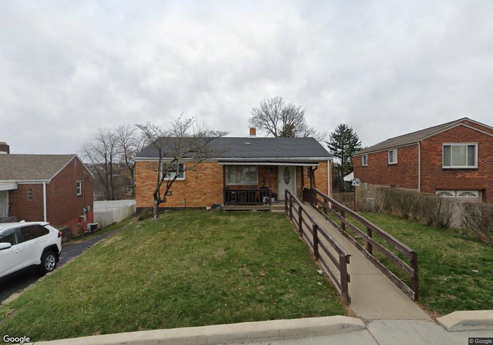
612 Hartranft St Pittsburgh, PA 15226
Brookline NeighborhoodEstimated Value: $172,000 - $209,000
2
Beds
1
Bath
875
Sq Ft
$220/Sq Ft
Est. Value
About This Home
This home is located at 612 Hartranft St, Pittsburgh, PA 15226 and is currently estimated at $192,135, approximately $219 per square foot. 612 Hartranft St is a home located in Allegheny County with nearby schools including Pittsburgh West Liberty K-5, Pittsburgh South Brook, and Pittsburgh Carrick High School.
Ownership History
Date
Name
Owned For
Owner Type
Purchase Details
Closed on
Jul 2, 2007
Sold by
Young Robert J
Bought by
Kent William M
Current Estimated Value
Home Financials for this Owner
Home Financials are based on the most recent Mortgage that was taken out on this home.
Original Mortgage
$85,140
Outstanding Balance
$53,326
Interest Rate
6.54%
Mortgage Type
New Conventional
Estimated Equity
$138,809
Create a Home Valuation Report for This Property
The Home Valuation Report is an in-depth analysis detailing your home's value as well as a comparison with similar homes in the area
Home Values in the Area
Average Home Value in this Area
Purchase History
| Date | Buyer | Sale Price | Title Company |
|---|---|---|---|
| Kent William M | $94,600 | -- |
Source: Public Records
Mortgage History
| Date | Status | Borrower | Loan Amount |
|---|---|---|---|
| Open | Kent William M | $85,140 |
Source: Public Records
Tax History Compared to Growth
Tax History
| Year | Tax Paid | Tax Assessment Tax Assessment Total Assessment is a certain percentage of the fair market value that is determined by local assessors to be the total taxable value of land and additions on the property. | Land | Improvement |
|---|---|---|---|---|
| 2025 | $1,502 | $65,200 | $26,200 | $39,000 |
| 2024 | $1,502 | $65,200 | $26,200 | $39,000 |
| 2023 | $1,502 | $65,200 | $26,200 | $39,000 |
| 2022 | $1,483 | $65,200 | $26,200 | $39,000 |
| 2021 | $1,402 | $65,200 | $26,200 | $39,000 |
| 2020 | $1,475 | $65,200 | $26,200 | $39,000 |
| 2019 | $1,475 | $65,200 | $26,200 | $39,000 |
| 2018 | $1,091 | $65,200 | $26,200 | $39,000 |
| 2017 | $1,475 | $65,200 | $26,200 | $39,000 |
| 2016 | $308 | $65,200 | $26,200 | $39,000 |
| 2015 | $308 | $65,200 | $26,200 | $39,000 |
| 2014 | $1,443 | $65,200 | $26,200 | $39,000 |
Source: Public Records
Map
Nearby Homes
- 405 Fernhill Ave
- 339 Fernhill Ave
- 320 Fernhill Ave
- 2033 Plainview Ave
- 711 Mayville Ave
- 728 Mayville Ave
- 2007 Plainview Ave
- 661 Dunster St
- 742 Mayville Ave
- 714 Dunster St
- 720 Dunster St
- 2403 Lynnbrook Ave
- 603 Crysler St
- 1937 Plainview Ave
- 2143 Plainview Ave
- 2054 Woodward Ave
- 2445 Edgebrook Ave
- 2400 Pioneer Ave
- 863 Dunster St
- 616 Rossmore Ave
- 608 Hartranft St
- 616 Hartranft St
- 586 Beaufort Ave
- 580 Beaufort Ave
- 613 Hartranft St
- 620 Hartranft St
- 602 Beaufort Ave
- 621 Hartranft St
- 625 Elmbank St
- 629 Elmbank St
- 619 Elmbank St
- 576 Beaufort Ave
- 633 Elmbank St
- 624 Hartranft St
- 608 Beaufort Ave
- 631 Hartranft St
- 615 Elmbank St
- 639 Elmbank St
- 585 Beaufort Ave
- 589 Beaufort Ave