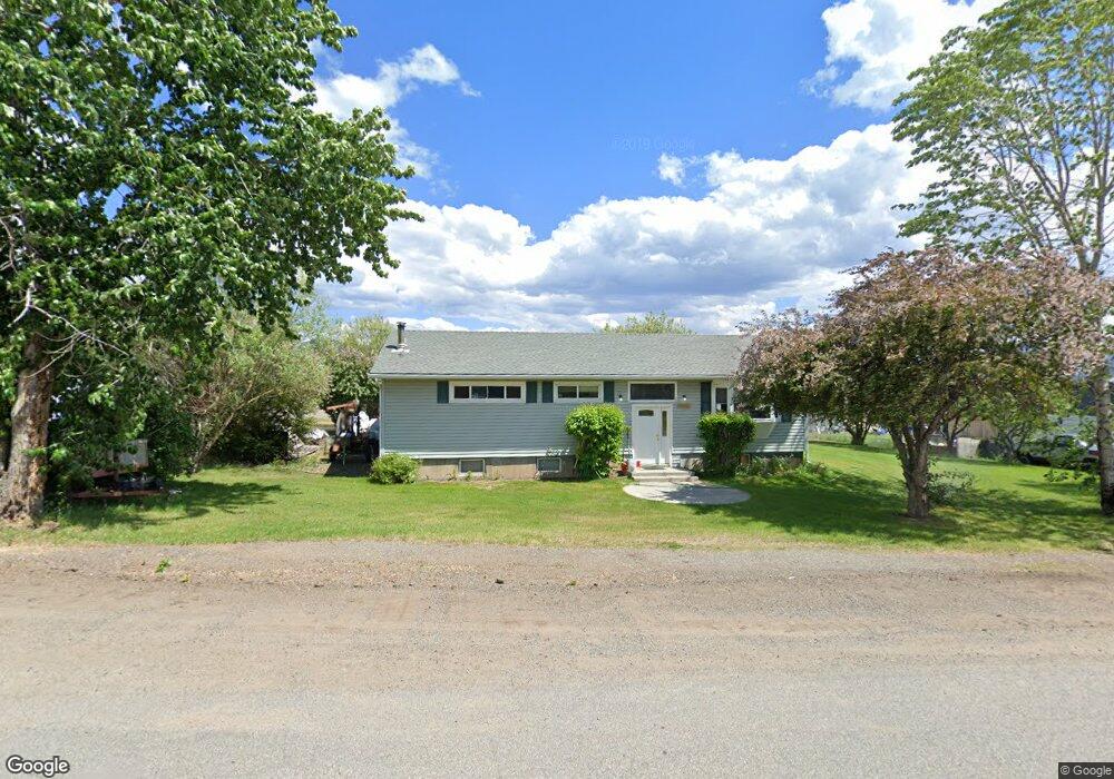
612 N Monroe St Boulder, MT 59632
Estimated Value: $359,000 - $409,492
3
Beds
2
Baths
1,344
Sq Ft
$288/Sq Ft
Est. Value
About This Home
This home is located at 612 N Monroe St, Boulder, MT 59632 and is currently estimated at $387,123, approximately $288 per square foot. 612 N Monroe St is a home with nearby schools including Jefferson High School.
Create a Home Valuation Report for This Property
The Home Valuation Report is an in-depth analysis detailing your home's value as well as a comparison with similar homes in the area
Tax History
| Year | Tax Paid | Tax Assessment Tax Assessment Total Assessment is a certain percentage of the fair market value that is determined by local assessors to be the total taxable value of land and additions on the property. | Land | Improvement |
|---|---|---|---|---|
| 2025 | $2,446 | $413,200 | $0 | $0 |
| 2024 | $2,740 | $294,723 | $0 | $0 |
| 2023 | $2,640 | $294,723 | $0 | $0 |
| 2022 | $2,294 | $213,200 | $0 | $0 |
| 2021 | $2,092 | $213,200 | $0 | $0 |
| 2020 | $1,973 | $182,700 | $0 | $0 |
| 2019 | $1,954 | $182,700 | $0 | $0 |
| 2018 | $1,757 | $160,500 | $0 | $0 |
| 2017 | $1,711 | $160,500 | $0 | $0 |
| 2016 | $1,579 | $152,800 | $0 | $0 |
| 2015 | $1,590 | $152,800 | $0 | $0 |
| 2014 | $1,113 | $62,169 | $0 | $0 |
Source: Public Records
Map
Nearby Homes
- 403 N Washington St
- 303 N Adams St
- 508 & 510 W 1st Ave
- 114 N Washington St
- 218 S Madison St
- 306 S Adams St Unit 13
- 75 Foothill Rd
- 31 Rogers Ln
- 456 Boulder Frontage Rd
- TBD (12.7+/- acres) High Ore Rd
- TBD (12.7 +/- Acres High Ore Rd
- TBD (28.6 +/- Acres) High Ore Rd
- TBD (28.6+/- acres) High Ore Rd
- TBD (40.1 +/- Ac) High Ore Rd
- 0 Tbd High Ore Rd Unit 23845743
- 0 Tbd High Ore Rd Unit 23863048
- 83 Nursery Creek Rd
- 550 Boulder Frontage Rd
- 0 Tbd High Ore Rd Unit LotWP001
- NHN Boulder Chief Rd
Your Personal Tour Guide
Ask me questions while you tour the home.