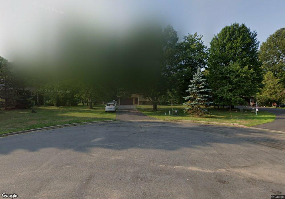
612 Riverside Cir Ladysmith, WI 54848
Estimated Value: $199,000 - $245,835
3
Beds
2
Baths
1,860
Sq Ft
$119/Sq Ft
Est. Value
About This Home
This home is located at 612 Riverside Cir, Ladysmith, WI 54848 and is currently estimated at $221,209, approximately $118 per square foot. 612 Riverside Cir is a home located in Rusk County with nearby schools including Ladysmith Elementary School, Ladysmith Middle School, and Ladysmith High School.
Ownership History
Date
Name
Owned For
Owner Type
Purchase Details
Closed on
Feb 18, 2008
Sold by
Clifford Mary E and Wheelock Mary E
Bought by
Clifford Mark T and Clifford Mary E
Current Estimated Value
Create a Home Valuation Report for This Property
The Home Valuation Report is an in-depth analysis detailing your home's value as well as a comparison with similar homes in the area
Home Values in the Area
Average Home Value in this Area
Purchase History
| Date | Buyer | Sale Price | Title Company |
|---|---|---|---|
| Clifford Mark T | $141,600 | -- |
Source: Public Records
Mortgage History
| Date | Status | Borrower | Loan Amount |
|---|---|---|---|
| Closed | Clifford Mark T | $0 |
Source: Public Records
Tax History
| Year | Tax Paid | Tax Assessment Tax Assessment Total Assessment is a certain percentage of the fair market value that is determined by local assessors to be the total taxable value of land and additions on the property. | Land | Improvement |
|---|---|---|---|---|
| 2025 | $3,376 | $118,400 | $31,800 | $86,600 |
| 2024 | $3,135 | $118,400 | $31,800 | $86,600 |
| 2023 | $2,752 | $118,400 | $31,800 | $86,600 |
| 2022 | $2,862 | $118,400 | $31,800 | $86,600 |
| 2021 | $2,951 | $118,400 | $31,800 | $86,600 |
| 2020 | $3,079 | $118,400 | $31,800 | $86,600 |
| 2019 | $3,042 | $118,400 | $31,800 | $86,600 |
| 2018 | $2,845 | $118,400 | $31,800 | $86,600 |
| 2017 | $3,399 | $148,500 | $49,200 | $99,300 |
| 2016 | $3,284 | $148,500 | $49,200 | $99,300 |
| 2015 | $3,806 | $147,700 | $49,200 | $98,500 |
| 2014 | $3,363 | $147,700 | $49,200 | $98,500 |
| 2013 | $3,126 | $147,700 | $49,200 | $98,500 |
Source: Public Records
Map
Nearby Homes
- 916 E 4th St S
- 809 E 6th St S
- 816 E 9th St S
- 600 E 9th St S
- 514 E 2nd St S
- 313 Sabin Ave W
- 623 Miner Ave E
- 221 Miner Ave E Unit 1 & 2
- 1325 State Highway 27
- N4663 Hendricks Rd
- W7824 Old 14 Rd
- 304 River Ave E
- 609 Miner Ave W
- 505 Menasha Ave E
- 1300 River Ave E
- 309 W 7th St N
- 000 E 10th St N
- 814 E 4th St N
- 0 W 5th St N
- 1229 Eagle Ct
- 614 Riverside Cir
- 610 Riverside Cir
- 0 Riverside Cir
- 517 Riverside Cir
- 611 Riverside Cir
- 408 Phillips Ave E
- 514 Phillips Ave E
- 613 Riverside Cir
- 704 Riverside Cir
- 1102 Riverside Cir
- 1101 Riverside Cir
- 700 Phillips Ave E
- 1205 E 4th St S
- 611 Phillips Ave E
- 613 Phillips Ave E
- 406 Phillips Ave E
- 615 Phillips Ave E
- 615 Phillips Ave E
- 415 Phillips Ave E
- 704 Phillips Ave E
Your Personal Tour Guide
Ask me questions while you tour the home.