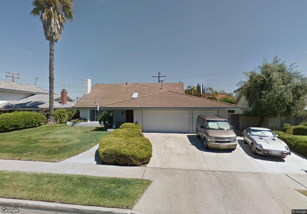
612 S Shields Dr Anaheim, CA 92804
West Anaheim NeighborhoodEstimated Value: $977,000 - $1,142,702
4
Beds
3
Baths
1,964
Sq Ft
$547/Sq Ft
Est. Value
About This Home
This home is located at 612 S Shields Dr, Anaheim, CA 92804 and is currently estimated at $1,074,176, approximately $546 per square foot. 612 S Shields Dr is a home located in Orange County with nearby schools including Mattie Lou Maxwell Elementary School, Dale Jr High School, and Magnolia High.
Ownership History
Date
Name
Owned For
Owner Type
Purchase Details
Closed on
Nov 30, 2020
Sold by
Martinez Sandra Ann and Martinez Sandra
Bought by
Martinez Sandra Ann and Sandra Ann Martinez Revocable
Current Estimated Value
Purchase Details
Closed on
Nov 14, 2001
Sold by
Stele Brandt and Stele Judith
Bought by
Martinez Barney and Martinez Sandra
Home Financials for this Owner
Home Financials are based on the most recent Mortgage that was taken out on this home.
Original Mortgage
$252,000
Interest Rate
8.12%
Purchase Details
Closed on
Jul 15, 1996
Sold by
Brandt Stele and Brandt Judith
Bought by
Stele Brandt and Stele Judith
Create a Home Valuation Report for This Property
The Home Valuation Report is an in-depth analysis detailing your home's value as well as a comparison with similar homes in the area
Home Values in the Area
Average Home Value in this Area
Purchase History
We collect this data history from publicly available records. To have your information removed, we recommend requesting removal directly through your county’s website.
| Date | Buyer | Sale Price | Title Company |
|---|---|---|---|
| Martinez Sandra Ann | -- | None Available | |
| Martinez Barney | $315,000 | Orange Coast Title | |
| Stele Brandt | -- | -- |
Source: Public Records
Mortgage History
We collect this data history from publicly available records. To have your information removed, we recommend requesting removal directly through your county’s website.
| Date | Status | Borrower | Loan Amount |
|---|---|---|---|
| Previous Owner | Martinez Barney | $252,000 |
Source: Public Records
Tax History
| Year | Tax Paid | Tax Assessment Tax Assessment Total Assessment is a certain percentage of the fair market value that is determined by local assessors to be the total taxable value of land and additions on the property. | Land | Improvement |
|---|---|---|---|---|
| 2025 | $5,247 | $465,340 | $307,260 | $158,080 |
| 2024 | $5,247 | $456,216 | $301,235 | $154,981 |
| 2023 | $5,110 | $447,271 | $295,328 | $151,943 |
| 2022 | $5,060 | $438,501 | $289,537 | $148,964 |
| 2021 | $4,998 | $429,903 | $283,859 | $146,044 |
| 2020 | $4,970 | $425,495 | $280,948 | $144,547 |
| 2019 | $4,846 | $417,152 | $275,439 | $141,713 |
| 2018 | $4,786 | $408,973 | $270,038 | $138,935 |
| 2017 | $4,616 | $400,954 | $264,743 | $136,211 |
| 2016 | $4,593 | $393,093 | $259,552 | $133,541 |
| 2015 | $4,553 | $387,189 | $255,653 | $131,536 |
| 2014 | $4,324 | $379,605 | $250,645 | $128,960 |
Source: Public Records
Map
Nearby Homes
- 2774 W Westhaven Dr
- 315 S Benwood Dr
- 2858 W Keys Ln
- 2841 W Skywood Cir
- 670 S Magnolia Ave
- 135 S Dale Ave Unit 11
- 2550 W Rowland Ave
- 2770 W Lincoln Ave Unit 58
- 2770 W Lincoln Ave Unit 3
- 2770 W Lincoln Ave Unit 44
- 134 S Magnolia Ave Unit 4C
- 2942 W Floyd Ave
- 2960 W Rome Ave
- 231 S Laxore St
- 2513 W Fulcrum Place
- 401 S Beach Blvd
- 101 S Laxore St Unit 203
- 101 S Laxore St Unit 205
- 107 S Laxore St Unit 404
- 103 S Laxore St Unit 104
- 618 S Shields Dr
- 608 S Shields Dr
- 619 S Macduff St
- 2760 W Orange Ave
- 622 S Shields Dr
- 613 S Shields Dr
- 602 S Shields Dr
- 609 S Shields Dr
- 625 S Macduff St
- 618 S Macduff St
- 603 S Shields Dr
- 623 S Shields Dr
- 628 S Shields Dr
- 612 S Scott Ln
- 608 S Scott Ln
- 627 S Macduff St
- 2726 W Orange Ave
- 618 S Scott Ln
- 622 S Macduff St
- 629 S Shields Dr
Your Personal Tour Guide
Ask me questions while you tour the home.