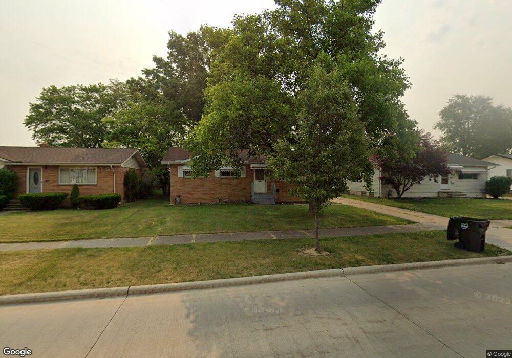
6123 Fry Rd Brookpark, OH 44142
Estimated Value: $179,000 - $240,000
3
Beds
2
Baths
1,102
Sq Ft
$183/Sq Ft
Est. Value
About This Home
This home is located at 6123 Fry Rd, Brookpark, OH 44142 and is currently estimated at $201,569, approximately $182 per square foot. 6123 Fry Rd is a home located in Cuyahoga County with nearby schools including Berea-Midpark Middle School, Berea-Midpark High School, and Huber Heights Preparatory Academy Parma Academy.
Ownership History
Date
Name
Owned For
Owner Type
Purchase Details
Closed on
Jan 25, 2005
Sold by
Sturtevant Peter F and Sturtevant Andrea M
Bought by
Diack Kenneth J and Diack Carri L
Current Estimated Value
Home Financials for this Owner
Home Financials are based on the most recent Mortgage that was taken out on this home.
Original Mortgage
$137,000
Outstanding Balance
$80,259
Interest Rate
8.15%
Mortgage Type
Purchase Money Mortgage
Estimated Equity
$121,310
Purchase Details
Closed on
Sep 22, 2004
Sold by
Sparks Leroy E and Reye Gerald T
Bought by
Sturtevant Peter F and Overton William B
Purchase Details
Closed on
Jun 29, 1993
Sold by
Sparks Leroy E
Bought by
Sparks Leroy E
Purchase Details
Closed on
Mar 30, 1985
Sold by
Sparks Leroy E and Sparks Lillian M
Bought by
Sparks Leroy E
Purchase Details
Closed on
Jan 1, 1975
Bought by
Sparks Leroy E and Sparks Lillian M
Create a Home Valuation Report for This Property
The Home Valuation Report is an in-depth analysis detailing your home's value as well as a comparison with similar homes in the area
Home Values in the Area
Average Home Value in this Area
Purchase History
| Date | Buyer | Sale Price | Title Company |
|---|---|---|---|
| Diack Kenneth J | $137,000 | Real Living Title Agency L | |
| Sturtevant Peter F | $110,000 | Real Living Title Agency L | |
| Sparks Leroy E | -- | -- | |
| Sparks Leroy E | -- | -- | |
| Sparks Leroy E | -- | -- |
Source: Public Records
Mortgage History
| Date | Status | Borrower | Loan Amount |
|---|---|---|---|
| Open | Diack Kenneth J | $137,000 |
Source: Public Records
Tax History
| Year | Tax Paid | Tax Assessment Tax Assessment Total Assessment is a certain percentage of the fair market value that is determined by local assessors to be the total taxable value of land and additions on the property. | Land | Improvement |
|---|---|---|---|---|
| 2024 | $2,824 | $56,000 | $11,970 | $44,030 |
| 2023 | $2,827 | $46,410 | $10,220 | $36,190 |
| 2022 | $2,807 | $46,410 | $10,220 | $36,190 |
| 2021 | $2,791 | $46,410 | $10,220 | $36,190 |
| 2020 | $2,518 | $36,860 | $8,120 | $28,740 |
| 2019 | $2,443 | $105,300 | $23,200 | $82,100 |
| 2018 | $2,274 | $36,860 | $8,120 | $28,740 |
| 2017 | $2,291 | $32,060 | $7,560 | $24,500 |
| 2016 | $2,272 | $32,060 | $7,560 | $24,500 |
| 2015 | $2,245 | $32,060 | $7,560 | $24,500 |
| 2014 | $2,245 | $33,750 | $7,950 | $25,800 |
Source: Public Records
Map
Nearby Homes
- 6330 Ledgebrook Dr
- 6330 Sandfield Dr
- 15424 Holland Rd
- 5952 Delores Blvd
- 6377 Ledgebrook Dr
- 6386 Sandfield Dr
- 16159 Bowfin Blvd
- 6016 Gilmere Dr
- 16379 Hummel Rd
- 14801 Larkfield Dr
- 14761 Larkfield Dr
- 6213 Siegler Dr
- 6095 Stark Dr
- 6728 Benedict Dr
- 6490 Grosse Dr
- 6707 Woodruff Ct
- 6748 Benedict Dr
- 6752 Benedict Dr
- 6720 Benedict Dr
- 6744 Benedict Dr
Your Personal Tour Guide
Ask me questions while you tour the home.