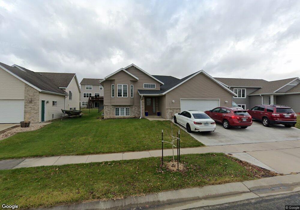
6125 39th Ave NW Rochester, MN 55901
Northwest NeighborhoodEstimated Value: $398,000 - $459,000
3
Beds
2
Baths
1,531
Sq Ft
$279/Sq Ft
Est. Value
About This Home
This home is located at 6125 39th Ave NW, Rochester, MN 55901 and is currently estimated at $426,390, approximately $278 per square foot. 6125 39th Ave NW is a home located in Olmsted County with nearby schools including Sunset Terrace Elementary School, John Marshall Senior High School, and Rochester Beacon Academy.
Ownership History
Date
Name
Owned For
Owner Type
Purchase Details
Closed on
May 21, 2006
Sold by
Lurken Leslie and Lurken Raegen
Bought by
Heldovac Ajla and Heldovac Uzeir
Current Estimated Value
Home Financials for this Owner
Home Financials are based on the most recent Mortgage that was taken out on this home.
Original Mortgage
$196,300
Interest Rate
6.54%
Mortgage Type
New Conventional
Create a Home Valuation Report for This Property
The Home Valuation Report is an in-depth analysis detailing your home's value as well as a comparison with similar homes in the area
Home Values in the Area
Average Home Value in this Area
Purchase History
| Date | Buyer | Sale Price | Title Company |
|---|---|---|---|
| Heldovac Ajla | $196,375 | None Available |
Source: Public Records
Mortgage History
| Date | Status | Borrower | Loan Amount |
|---|---|---|---|
| Previous Owner | Heldovac Ajla | $196,300 |
Source: Public Records
Tax History Compared to Growth
Tax History
| Year | Tax Paid | Tax Assessment Tax Assessment Total Assessment is a certain percentage of the fair market value that is determined by local assessors to be the total taxable value of land and additions on the property. | Land | Improvement |
|---|---|---|---|---|
| 2024 | $5,426 | $396,800 | $45,000 | $351,800 |
| 2023 | $4,952 | $394,700 | $45,000 | $349,700 |
| 2022 | $4,640 | $401,400 | $45,000 | $356,400 |
| 2021 | $4,308 | $342,800 | $45,000 | $297,800 |
| 2020 | $4,460 | $319,900 | $45,000 | $274,900 |
| 2019 | $4,184 | $317,900 | $35,000 | $282,900 |
| 2018 | $3,789 | $301,300 | $35,000 | $266,300 |
| 2017 | $3,640 | $283,700 | $35,000 | $248,700 |
| 2016 | $2,828 | $247,400 | $33,200 | $214,200 |
| 2015 | $2,640 | $186,900 | $31,800 | $155,100 |
| 2014 | $2,546 | $186,200 | $31,800 | $154,400 |
| 2012 | -- | $182,700 | $31,687 | $151,013 |
Source: Public Records
Map
Nearby Homes
- 6143 39th Ave NW
- 6151 Cody Ln NW
- 6128 Cody Ln
- 6127 Cody Ln
- 6119 Cody Ln
- 6111 Cody Ln NW
- 6112 Cody Ln NW
- 6120 Cody Ln NW
- 6262 Cody Place NW
- 6246 Cody Place NW
- 6266 Jonathan Dr NW
- 6238 Cody Place NW
- 6230 Cody Place NW
- L2B1 Boelter Estates Dr NW
- L1B1 Boelter Estates Dr NW
- 5952 Danvers Ln NW
- 4426 Manchester Ln NW
- 4412 Newcastle Ln NW
- 4550 Summit Pointe Place NW
- 6229 30th Ave NW
- 6119 39th Ave NW
- 6131 39th Ave NW
- 6122 Branch Ave NW
- 6116 Branch Ave NW
- 6137 39th Ave NW
- 6128 Branch Ave NW
- 6130 39th Ave NW
- 6107 39th Ave NW
- 6107 6107 39-Avenue-nw
- 6110 Branch Ave NW
- 6134 Branch Ave NW
- 6124 39th Ave NW
- 6116 39th Ave NW
- 6104 Branch Ave NW
- 6136 39th Ave NW
- 6110 39th Ave NW
- 6142 Branch Ave NW
- 6142 39th Ave NW
- 6149 39th Ave NW
- 6119 Branch Ave NW