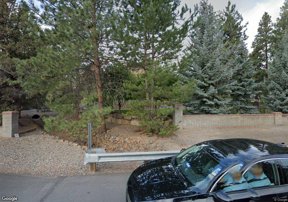
61269 Benham Rd Bend, OR 97702
Old Farm District NeighborhoodEstimated Value: $1,290,792 - $1,556,000
4
Beds
4
Baths
3,987
Sq Ft
$358/Sq Ft
Est. Value
About This Home
This home is located at 61269 Benham Rd, Bend, OR 97702 and is currently estimated at $1,425,698, approximately $357 per square foot. 61269 Benham Rd is a home located in Deschutes County with nearby schools including R.E. Jewell Elementary School, High Desert Middle School, and Deschutes River Montessori School.
Ownership History
Date
Name
Owned For
Owner Type
Purchase Details
Closed on
Jun 30, 2016
Sold by
Kelly Michael T and Kelly Sharlyn K
Bought by
The Michael & Sharlyn Kelly Joint Trust
Current Estimated Value
Purchase Details
Closed on
Apr 29, 2008
Sold by
Chiechi Herrell Karen
Bought by
Kelly Michael T and Kelly Sharlyn K
Home Financials for this Owner
Home Financials are based on the most recent Mortgage that was taken out on this home.
Original Mortgage
$417,000
Interest Rate
5.81%
Mortgage Type
Unknown
Purchase Details
Closed on
Apr 10, 2006
Sold by
Chiechi Frank James and Chiechi Eileen Ruth
Bought by
True Vision Construction
Home Financials for this Owner
Home Financials are based on the most recent Mortgage that was taken out on this home.
Original Mortgage
$850,000
Interest Rate
6.25%
Mortgage Type
Purchase Money Mortgage
Create a Home Valuation Report for This Property
The Home Valuation Report is an in-depth analysis detailing your home's value as well as a comparison with similar homes in the area
Home Values in the Area
Average Home Value in this Area
Purchase History
| Date | Buyer | Sale Price | Title Company |
|---|---|---|---|
| The Michael & Sharlyn Kelly Joint Trust | -- | Accommodation | |
| Kelly Michael T | $775,000 | Deschutes County Title Co | |
| True Vision Construction | $450,000 | First Amer Title Ins Co Or |
Source: Public Records
Mortgage History
| Date | Status | Borrower | Loan Amount |
|---|---|---|---|
| Closed | Kelly Michael T | $417,000 | |
| Previous Owner | True Vision Construction | $850,000 |
Source: Public Records
Tax History Compared to Growth
Tax History
| Year | Tax Paid | Tax Assessment Tax Assessment Total Assessment is a certain percentage of the fair market value that is determined by local assessors to be the total taxable value of land and additions on the property. | Land | Improvement |
|---|---|---|---|---|
| 2025 | $8,649 | $511,910 | -- | -- |
| 2024 | $8,322 | $497,000 | -- | -- |
| 2023 | $7,714 | $482,530 | $0 | $0 |
| 2022 | $7,197 | $454,840 | $0 | $0 |
| 2021 | $7,208 | $441,600 | $0 | $0 |
| 2020 | $6,838 | $441,600 | $0 | $0 |
| 2019 | $6,648 | $428,740 | $0 | $0 |
| 2018 | $6,460 | $416,260 | $0 | $0 |
| 2017 | $6,271 | $404,140 | $0 | $0 |
| 2016 | $5,980 | $392,370 | $0 | $0 |
| 2015 | $5,814 | $380,950 | $0 | $0 |
| 2014 | $5,643 | $369,860 | $0 | $0 |
Source: Public Records
Map
Nearby Homes
- 61280 Parrell Rd Unit 10
- 20289 Knightsbridge Place
- 20250 Narnia Place
- 61366 SE Preston St
- 61170 Parrell Rd
- 20260 Gaines Ct
- 20372 Sonata Way
- 61217 SE Wagyu Dr Unit 151
- 61221 SE Wagyu Dr Unit Lot 152
- 61441 SE Daybreak Ct Unit Lot 10
- 20607 SE Boer Place SE
- 61168 SE Wagyu Dr Unit Lot 120
- 61433 SE Daybreak Ct Unit Lot 8
- 20450 Jacklight Ln
- 61429 SE Daybreak Ct Unit Lot 7
- 20376 SE Lois Way
- 20619 SE Boer Place SE Unit Lot 131
- 61413 SE Daybreak
- 61405 SE Daybreak Ct
- 61409 SE Daybreak Ct Unit Lot 2
- 20326 Shire Ln
- 20322 Shire Ln
- 20330 Shire Ln
- 20318 Shire Ln
- 20334 Shire Ln
- 15 Ring Bearer Ct
- 14 Ring Bearer Ct
- 13 Ring Bearer Ct
- 8 Ring Bearer Ct
- 7 Ring Bearer Ct
- 6 Ring Bearer Ct
- 11 Ring Bearer Ct
- 10 Ring Bearer Ct
- 9 Ring Bearer Ct
- 12 Ring Bearer Ct
- 20346 Willopa Ct
- 61275 Benham Rd
- 61267 Benham Rd
- 61263 Benham Rd
- 61283 Ring Bearer Ct