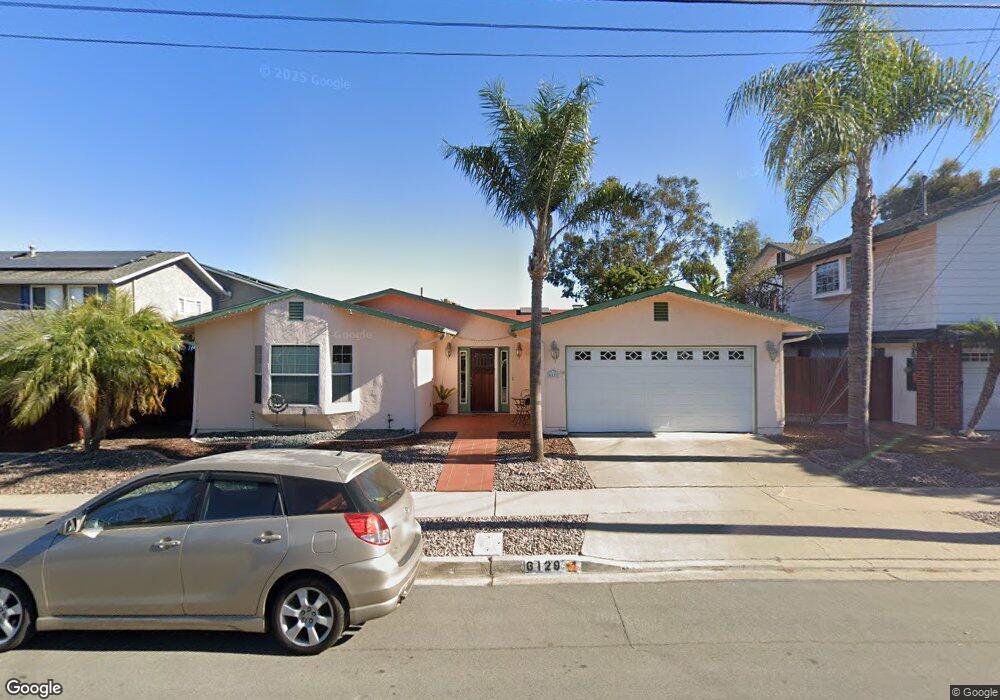
6129 Dirac St San Diego, CA 92122
University City NeighborhoodEstimated Value: $1,624,813 - $1,813,000
4
Beds
2
Baths
2,083
Sq Ft
$834/Sq Ft
Est. Value
About This Home
This home is located at 6129 Dirac St, San Diego, CA 92122 and is currently estimated at $1,738,203, approximately $834 per square foot. 6129 Dirac St is a home located in San Diego County with nearby schools including Marie Curie Elementary School, Standley Middle School, and University City High School.
Ownership History
Date
Name
Owned For
Owner Type
Purchase Details
Closed on
Nov 17, 2011
Sold by
Palm Michael D and Palm Judy L
Bought by
Palm Michael D and Palm Judy L
Current Estimated Value
Home Financials for this Owner
Home Financials are based on the most recent Mortgage that was taken out on this home.
Original Mortgage
$86,800
Interest Rate
4.06%
Mortgage Type
New Conventional
Purchase Details
Closed on
Apr 14, 2005
Sold by
Palm Michael D and Palm Judy L
Bought by
Palm Michael D and Palm Judy L
Purchase Details
Closed on
May 8, 1997
Sold by
Raghavan Sreenivasa A and Raghavan Marta R
Bought by
Palm Michael D and Palm Judy L
Home Financials for this Owner
Home Financials are based on the most recent Mortgage that was taken out on this home.
Original Mortgage
$204,000
Interest Rate
7.91%
Purchase Details
Closed on
Nov 8, 1991
Create a Home Valuation Report for This Property
The Home Valuation Report is an in-depth analysis detailing your home's value as well as a comparison with similar homes in the area
Home Values in the Area
Average Home Value in this Area
Purchase History
| Date | Buyer | Sale Price | Title Company |
|---|---|---|---|
| Palm Michael D | -- | Stewart Title Of California | |
| Palm Michael D | -- | Stewart Title Of California | |
| Palm Michael D | -- | -- | |
| Palm Michael D | $255,000 | Southland Title | |
| -- | $225,000 | -- |
Source: Public Records
Mortgage History
| Date | Status | Borrower | Loan Amount |
|---|---|---|---|
| Closed | Palm Michael D | $86,800 | |
| Previous Owner | Palm Michael D | $204,000 |
Source: Public Records
Tax History Compared to Growth
Tax History
| Year | Tax Paid | Tax Assessment Tax Assessment Total Assessment is a certain percentage of the fair market value that is determined by local assessors to be the total taxable value of land and additions on the property. | Land | Improvement |
|---|---|---|---|---|
| 2025 | $5,668 | $475,005 | $276,866 | $198,139 |
| 2024 | $5,668 | $465,692 | $271,438 | $194,254 |
| 2023 | $5,541 | $456,562 | $266,116 | $190,446 |
| 2022 | $5,392 | $447,611 | $260,899 | $186,712 |
| 2021 | $5,354 | $438,835 | $255,784 | $183,051 |
| 2020 | $5,288 | $434,337 | $253,162 | $181,175 |
| 2019 | $5,193 | $425,822 | $248,199 | $177,623 |
| 2018 | $4,854 | $417,474 | $243,333 | $174,141 |
| 2017 | $4,737 | $409,289 | $238,562 | $170,727 |
| 2016 | $4,659 | $401,265 | $233,885 | $167,380 |
| 2015 | $4,590 | $395,238 | $230,372 | $164,866 |
| 2014 | $4,516 | $387,497 | $225,860 | $161,637 |
Source: Public Records
Map
Nearby Homes
- 5977 Erlanger St
- 5889 Cozzens St
- 5962 Agee St
- 6214 Agee St Unit 34
- 4612 Benhurst Ave
- 6188 Agee St Unit 230
- 6330 Genesee Ave Unit 220
- 6330 Genesee Ave Unit 112
- 6330 Genesee Ave Unit 213
- 4282 Robbins St
- 4635 Pauling Ave
- 6547 Radcliffe Dr
- 4495 Cather Ave
- 5021 Via Cinta
- 3598 Syracuse Ave
- 7212 Florey St
- 3736 Millikin Ave
- 4627 Huggins St
- 5448 Noah Way
- 5257 Cole St
- 6141 Dirac St
- 6117 Dirac St
- 4421 Pavlov Ave
- 6105 Dirac St
- 4431 Pavlov Ave
- 4366 Bromfield Ave
- 4381 Pavlov Ave
- 6087 Dirac St
- 4410 Pavlov Ave
- 4441 Pavlov Ave
- 4420 Pavlov Ave
- 4392 Pavlov Ave
- 4358 Bromfield Ave
- 4371 Pavlov Ave
- 4369 Bromfield Ave
- 6073 Dirac St
- 4430 Pavlov Ave
- 4382 Pavlov Ave
- 4451 Pavlov Ave
- 4361 Bromfield Ave