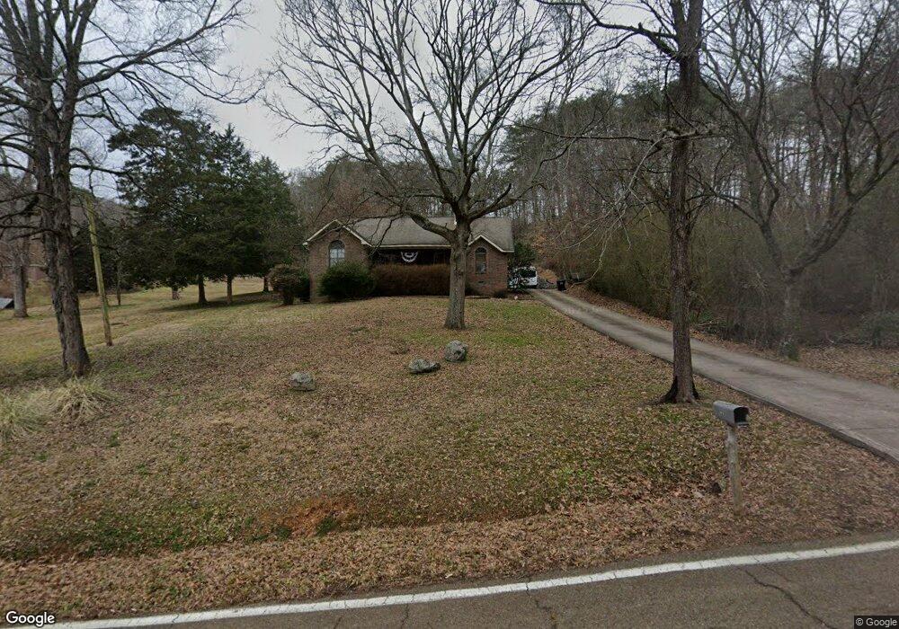
6129 Levi Rd Hixson, TN 37343
Falling Water NeighborhoodEstimated Value: $332,957 - $432,000
Studio
--
Bath
1,947
Sq Ft
$201/Sq Ft
Est. Value
About This Home
This home is located at 6129 Levi Rd, Hixson, TN 37343 and is currently estimated at $391,489, approximately $201 per square foot. 6129 Levi Rd is a home located in Hamilton County with nearby schools including Ganns Middle Valley Elementary School, Red Bank Middle School, and Red Bank High School.
Ownership History
Date
Name
Owned For
Owner Type
Purchase Details
Closed on
Jul 29, 2004
Sold by
Blanks Stubblefield James Matthew and Blanks Stubblefield Valerie
Bought by
Gifford James R
Current Estimated Value
Home Financials for this Owner
Home Financials are based on the most recent Mortgage that was taken out on this home.
Original Mortgage
$132,150
Outstanding Balance
$64,692
Interest Rate
6.24%
Mortgage Type
Purchase Money Mortgage
Estimated Equity
$326,797
Purchase Details
Closed on
Mar 3, 1998
Sold by
Stubblefield James M
Bought by
Stubblefield Valerie Blanks
Create a Home Valuation Report for This Property
The Home Valuation Report is an in-depth analysis detailing your home's value as well as a comparison with similar homes in the area
Home Values in the Area
Average Home Value in this Area
Purchase History
| Date | Buyer | Sale Price | Title Company |
|---|---|---|---|
| Gifford James R | $165,189 | -- | |
| Stubblefield Valerie Blanks | -- | First American Title Ins Co |
Source: Public Records
Mortgage History
| Date | Status | Borrower | Loan Amount |
|---|---|---|---|
| Open | Gifford James R | $132,150 |
Source: Public Records
Tax History
| Year | Tax Paid | Tax Assessment Tax Assessment Total Assessment is a certain percentage of the fair market value that is determined by local assessors to be the total taxable value of land and additions on the property. | Land | Improvement |
|---|---|---|---|---|
| 2025 | $1,357 | $89,525 | $0 | $0 |
| 2024 | $1,255 | $56,100 | $0 | $0 |
| 2023 | $1,264 | $56,100 | $0 | $0 |
| 2022 | $1,264 | $56,100 | $0 | $0 |
| 2021 | $1,264 | $56,100 | $0 | $0 |
| 2020 | $1,263 | $45,350 | $0 | $0 |
| 2019 | $1,263 | $45,350 | $0 | $0 |
| 2018 | $1,263 | $45,350 | $0 | $0 |
| 2017 | $1,263 | $45,350 | $0 | $0 |
| 2016 | $1,173 | $0 | $0 | $0 |
| 2015 | $1,173 | $42,100 | $0 | $0 |
| 2014 | $1,173 | $0 | $0 | $0 |
Source: Public Records
Map
Nearby Homes
- 404 Canyon Springs Dr
- 530 Deer Valley Dr
- 792 Sawmill Trail
- 595 Deer Valley Dr
- 5940 Sunset Canyon Dr
- 6464 Deep Canyon Rd
- 621 Courtney Ln
- 5934 Old Dayton Pike
- 0 Forest Park Dr Unit RTC3122458
- 0 Forest Park Dr Unit 1527995
- 101 La Porte Dr
- 6807 Levi Rd
- 704 Ray Ln
- 676 Courtney Ln
- 674 Courtney Ln
- 733 Ray Ln
- 5977 Crestview Dr
- 5839 Dayton Blvd
- 2 Pine Marr Ln
- 100 Pine Cone Ln
Your Personal Tour Guide
Ask me questions while you tour the home.