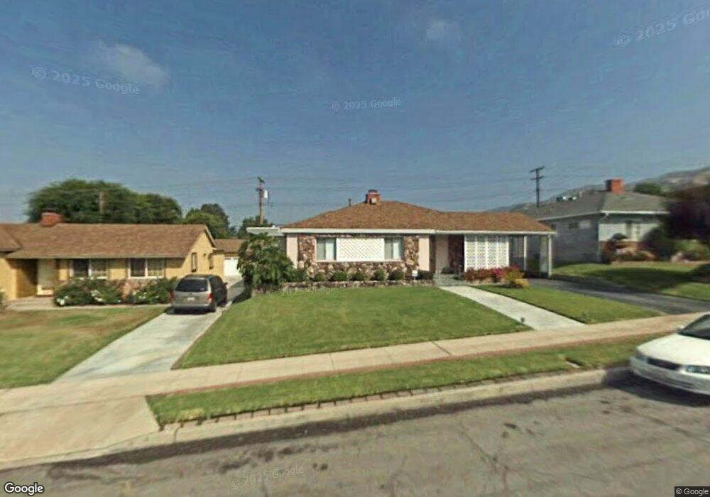
613 Birmingham Rd Burbank, CA 91504
Hillside District NeighborhoodEstimated Value: $1,526,603 - $1,704,000
4
Beds
2
Baths
2,282
Sq Ft
$713/Sq Ft
Est. Value
About This Home
This home is located at 613 Birmingham Rd, Burbank, CA 91504 and is currently estimated at $1,627,651, approximately $713 per square foot. 613 Birmingham Rd is a home located in Los Angeles County with nearby schools including Thomas Jefferson Elementary School, John Muir Middle School, and Burbank High School.
Ownership History
Date
Name
Owned For
Owner Type
Purchase Details
Closed on
Sep 26, 2008
Sold by
Applebaum Larry A and Applebaum Lucia M
Bought by
Applebaum Larry A and Applebaum Lucia M
Current Estimated Value
Purchase Details
Closed on
Dec 18, 2007
Sold by
Applebaum Jack and The Applebaum Family Trust
Bought by
Applebaum Jack and The Applebaum Family Trust
Purchase Details
Closed on
May 30, 1996
Sold by
Applebaum Jack and Applebaum Gloria
Bought by
Applebaum Jack and Applebaum Gloria
Create a Home Valuation Report for This Property
The Home Valuation Report is an in-depth analysis detailing your home's value as well as a comparison with similar homes in the area
Home Values in the Area
Average Home Value in this Area
Purchase History
| Date | Buyer | Sale Price | Title Company |
|---|---|---|---|
| Applebaum Larry A | -- | None Available | |
| Applebaum Larry A | -- | None Available | |
| Applebaum Larry A | -- | None Available | |
| Applebaum Larry A | -- | None Available | |
| Applebaum Jack | -- | None Available | |
| Applebaum Jack | -- | None Available | |
| Applebaum Jack | -- | -- |
Source: Public Records
Tax History
| Year | Tax Paid | Tax Assessment Tax Assessment Total Assessment is a certain percentage of the fair market value that is determined by local assessors to be the total taxable value of land and additions on the property. | Land | Improvement |
|---|---|---|---|---|
| 2025 | $2,008 | $160,218 | $46,791 | $113,427 |
| 2024 | $2,008 | $157,077 | $45,874 | $111,203 |
| 2023 | $1,989 | $153,998 | $44,975 | $109,023 |
| 2022 | $1,906 | $150,980 | $44,094 | $106,886 |
| 2021 | $1,883 | $148,021 | $43,230 | $104,791 |
| 2019 | $1,813 | $143,633 | $41,949 | $101,684 |
| 2018 | $1,671 | $140,818 | $41,127 | $99,691 |
| 2016 | $1,560 | $135,352 | $39,531 | $95,821 |
| 2015 | $1,530 | $133,320 | $38,938 | $94,382 |
| 2014 | $1,534 | $130,710 | $38,176 | $92,534 |
Source: Public Records
Map
Nearby Homes
- 501 Birmingham Rd
- 505 Cambridge Dr
- 441 Dartmouth Rd
- 1814 Grismer Ave
- 1711 Grismer Ave Unit 52
- 1711 Grismer Ave Unit 72
- 1113 N Glenoaks Blvd
- 1719 Rogers Place Unit 33H
- 1515 Grismer Ave Unit 302
- 831 E Walnut Ave
- 1901 Peyton Ave Unit N
- 2615 Woodstock Ln
- 637 E Fairmount Rd
- 902 E Walnut Ave
- 1719 Landis St
- 2014 Peyton Ave
- 2316 N Parish Place
- 1924 N Parish Place
- 701 N 6th St
- 1012 N Sunset Canyon Dr
- 607 Birmingham Rd
- 619 Birmingham Rd
- 612 Cambridge Dr
- 625 Birmingham Rd
- 601 Birmingham Rd
- 618 Cambridge Dr
- 600 Cambridge Dr
- 624 Cambridge Dr
- 631 Birmingham Rd
- 612 Birmingham Rd
- 618 Birmingham Rd
- 606 Birmingham Rd
- 630 Cambridge Dr
- 624 Birmingham Rd
- 600 Birmingham Rd
- 637 Birmingham Rd
- 630 Birmingham Rd
- 636 Cambridge Dr
- 535 Birmingham Rd
- 636 Birmingham Rd
Your Personal Tour Guide
Ask me questions while you tour the home.