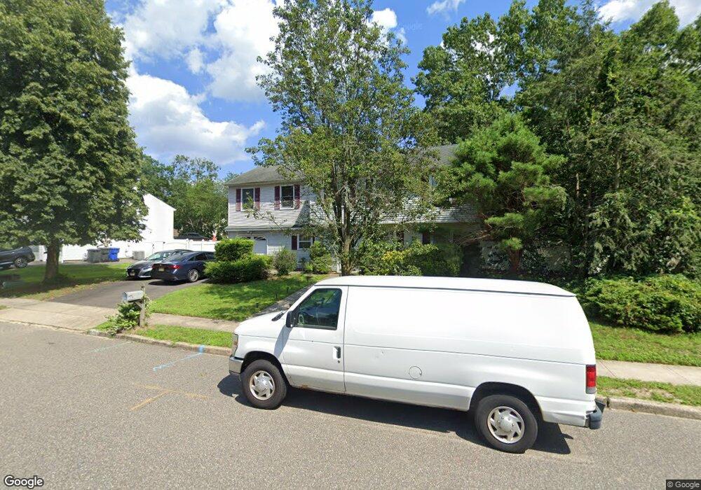
613 Branch Dr Toms River, NJ 08755
Estimated Value: $634,000 - $654,535
5
Beds
3
Baths
1,816
Sq Ft
$354/Sq Ft
Est. Value
About This Home
This home is located at 613 Branch Dr, Toms River, NJ 08755 and is currently estimated at $643,134, approximately $354 per square foot. 613 Branch Dr is a home located in Ocean County with nearby schools including Ocean County Christian Academy.
Ownership History
Date
Name
Owned For
Owner Type
Purchase Details
Closed on
Jun 27, 2003
Sold by
Canales Paupl
Bought by
Holmes James and Holmes Verna
Current Estimated Value
Home Financials for this Owner
Home Financials are based on the most recent Mortgage that was taken out on this home.
Original Mortgage
$216,700
Outstanding Balance
$92,199
Interest Rate
5.27%
Estimated Equity
$550,935
Purchase Details
Closed on
Feb 14, 2002
Sold by
Arce Linda
Bought by
Canales Paul and Canales Kathleen
Home Financials for this Owner
Home Financials are based on the most recent Mortgage that was taken out on this home.
Original Mortgage
$207,060
Interest Rate
6.91%
Mortgage Type
VA
Create a Home Valuation Report for This Property
The Home Valuation Report is an in-depth analysis detailing your home's value as well as a comparison with similar homes in the area
Home Values in the Area
Average Home Value in this Area
Purchase History
| Date | Buyer | Sale Price | Title Company |
|---|---|---|---|
| Holmes James | $255,000 | -- | |
| Canales Paul | $203,000 | -- |
Source: Public Records
Mortgage History
| Date | Status | Borrower | Loan Amount |
|---|---|---|---|
| Open | Holmes James | $216,700 | |
| Previous Owner | Canales Paul | $207,060 |
Source: Public Records
Tax History Compared to Growth
Tax History
| Year | Tax Paid | Tax Assessment Tax Assessment Total Assessment is a certain percentage of the fair market value that is determined by local assessors to be the total taxable value of land and additions on the property. | Land | Improvement |
|---|---|---|---|---|
| 2025 | $7,658 | $420,300 | $122,000 | $298,300 |
| 2024 | $7,275 | $420,300 | $122,000 | $298,300 |
| 2023 | $7,011 | $420,300 | $122,000 | $298,300 |
| 2022 | $7,011 | $420,300 | $122,000 | $298,300 |
| 2021 | $7,012 | $280,700 | $103,000 | $177,700 |
| 2020 | $6,981 | $280,700 | $103,000 | $177,700 |
| 2019 | $6,678 | $280,700 | $103,000 | $177,700 |
| 2018 | $6,610 | $280,700 | $103,000 | $177,700 |
| 2017 | $6,566 | $280,700 | $103,000 | $177,700 |
| 2016 | $6,411 | $280,700 | $103,000 | $177,700 |
| 2015 | $6,181 | $280,700 | $103,000 | $177,700 |
| 2014 | $5,875 | $280,700 | $103,000 | $177,700 |
Source: Public Records
Map
Nearby Homes
- 661 Branch Dr
- 511 Leawood Ave
- 74 Fox Glove Run
- 159 Clayton Ave
- 61 Golden Glow Circus
- 44 Gardenia Way
- 94 Rolling Hills Ct
- 340 Ashford Rd
- 50 Golden Glow Circus
- 64 Monroe Ave
- 348 Ashford Rd
- 100 Wicklow Ct
- 310 Ashford Rd
- 28 Bellflower Ct
- 1415 Ark St
- 25 Monroe Ave
- 105 Menlow Ct
- 49 Green Dr
- 210 Rivers Glen Terrace
- 1579 Route 9