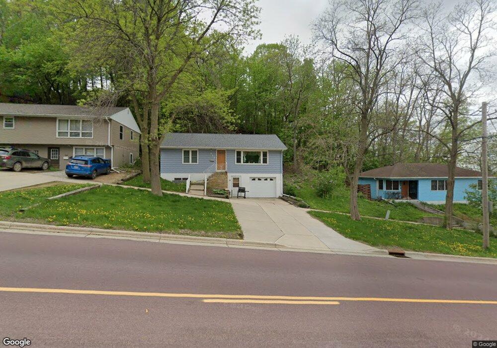
613 E Main St Mankato, MN 56001
Alexander Park NeighborhoodEstimated Value: $205,000 - $250,000
4
Beds
2
Baths
1,120
Sq Ft
$199/Sq Ft
Est. Value
About This Home
This home is located at 613 E Main St, Mankato, MN 56001 and is currently estimated at $222,699, approximately $198 per square foot. 613 E Main St is a home located in Blue Earth County with nearby schools including Washington Elementary School, Prairie Winds Middle School, and Mankato East Senior High School.
Ownership History
Date
Name
Owned For
Owner Type
Purchase Details
Closed on
May 8, 2023
Sold by
Hennessey Kenneth and Hennessey Patricia
Bought by
Green Janee
Current Estimated Value
Home Financials for this Owner
Home Financials are based on the most recent Mortgage that was taken out on this home.
Original Mortgage
$209,900
Outstanding Balance
$204,095
Interest Rate
6.42%
Mortgage Type
New Conventional
Estimated Equity
$18,604
Create a Home Valuation Report for This Property
The Home Valuation Report is an in-depth analysis detailing your home's value as well as a comparison with similar homes in the area
Home Values in the Area
Average Home Value in this Area
Purchase History
| Date | Buyer | Sale Price | Title Company |
|---|---|---|---|
| Green Janee | $209,900 | -- |
Source: Public Records
Mortgage History
| Date | Status | Borrower | Loan Amount |
|---|---|---|---|
| Open | Green Janee | $209,900 |
Source: Public Records
Tax History
| Year | Tax Paid | Tax Assessment Tax Assessment Total Assessment is a certain percentage of the fair market value that is determined by local assessors to be the total taxable value of land and additions on the property. | Land | Improvement |
|---|---|---|---|---|
| 2025 | $1,768 | $184,100 | $20,400 | $163,700 |
| 2024 | $1,768 | $181,000 | $20,400 | $160,600 |
| 2023 | $1,946 | $181,000 | $20,400 | $160,600 |
| 2022 | $1,706 | $168,200 | $20,400 | $147,800 |
| 2021 | $1,150 | $142,000 | $20,400 | $121,600 |
| 2020 | $1,066 | $131,300 | $20,400 | $110,900 |
| 2019 | $874 | $131,300 | $20,400 | $110,900 |
| 2018 | $834 | $117,100 | $19,100 | $98,000 |
| 2017 | $702 | $114,300 | $19,100 | $95,200 |
| 2016 | $944 | $107,700 | $19,100 | $88,600 |
| 2015 | $9 | $101,200 | $19,100 | $82,100 |
| 2014 | $1,002 | $97,500 | $19,100 | $78,400 |
Source: Public Records
Map
Nearby Homes
- 109 S 4th St
- 511 E Washington St
- 309 N Broad St
- 950 E Main St
- E E Spring St
- 622 N 5th St
- 630 N 5th St
- 702 N 6th St
- 0 Tbd Woodridge Unit 7036731
- 133 Lincoln St
- 26 Sumner Hills Rd
- 123 Knollcrest Dr
- 0 Bradley St
- 215 Parkway Place
- 117 E Pleasant St
- 1112 Marsh St
- 303 E Lafayette St
- 130 Dillon Ave
- 212 W Pleasant St
- 532 Range St
- 613 613 E Main St
- 617 E Main St
- 609 609 E Main St
- 609 E Main St
- 629 E Main St
- 0 Beech St Unit 7003340
- 605 E Main St
- 605 E Main St Unit 1
- 605 E Main St Unit 3
- 616 E Main St
- 618 E Main St
- 618 E Main St Unit 1
- 618 E Main St Unit 2
- 107 S 6th St
- 612 E Main St
- 602 E Main St
- 119 S 6th St
- 119 S 6th St Unit 1
- 620 E Main St
- 107 N 6th St
Your Personal Tour Guide
Ask me questions while you tour the home.