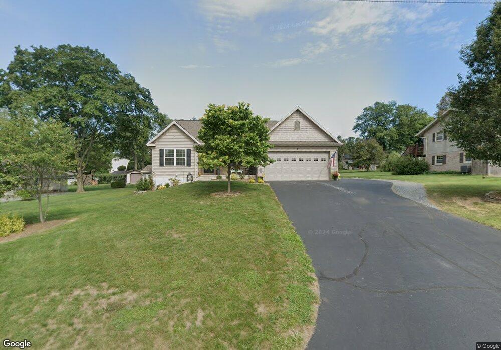
613 Letort Rd Washington Boro, PA 17582
Manor Township NeighborhoodEstimated Value: $378,000 - $483,745
2
Beds
2
Baths
1,963
Sq Ft
$224/Sq Ft
Est. Value
About This Home
This home is located at 613 Letort Rd, Washington Boro, PA 17582 and is currently estimated at $440,686, approximately $224 per square foot. 613 Letort Rd is a home with nearby schools including Letort Elementary School, Manor Middle School, and Penn Manor High School.
Ownership History
Date
Name
Owned For
Owner Type
Purchase Details
Closed on
Aug 11, 2014
Sold by
Kenneson Robert M
Bought by
Kenneson Robert M and Casey Erin K
Current Estimated Value
Home Financials for this Owner
Home Financials are based on the most recent Mortgage that was taken out on this home.
Original Mortgage
$242,250
Outstanding Balance
$186,558
Interest Rate
4.14%
Mortgage Type
Construction
Estimated Equity
$254,128
Purchase Details
Closed on
Feb 3, 2012
Sold by
Rice Steven M
Bought by
Kenneson Robert M
Home Financials for this Owner
Home Financials are based on the most recent Mortgage that was taken out on this home.
Original Mortgage
$52,000
Interest Rate
3.92%
Mortgage Type
Stand Alone Second
Purchase Details
Closed on
Sep 7, 2010
Sold by
Weaver Warren J
Bought by
Rice Steven M
Create a Home Valuation Report for This Property
The Home Valuation Report is an in-depth analysis detailing your home's value as well as a comparison with similar homes in the area
Home Values in the Area
Average Home Value in this Area
Purchase History
| Date | Buyer | Sale Price | Title Company |
|---|---|---|---|
| Kenneson Robert M | -- | None Available | |
| Kenneson Robert M | $77,000 | None Available | |
| Rice Steven M | $44,752 | None Available |
Source: Public Records
Mortgage History
| Date | Status | Borrower | Loan Amount |
|---|---|---|---|
| Open | Kenneson Robert M | $242,250 | |
| Closed | Kenneson Robert M | $52,000 |
Source: Public Records
Tax History Compared to Growth
Tax History
| Year | Tax Paid | Tax Assessment Tax Assessment Total Assessment is a certain percentage of the fair market value that is determined by local assessors to be the total taxable value of land and additions on the property. | Land | Improvement |
|---|---|---|---|---|
| 2025 | $6,422 | $294,100 | $70,100 | $224,000 |
| 2024 | $6,422 | $294,100 | $70,100 | $224,000 |
| 2023 | $6,422 | $294,100 | $70,100 | $224,000 |
| 2022 | $6,301 | $294,100 | $70,100 | $224,000 |
| 2021 | $6,141 | $294,100 | $70,100 | $224,000 |
| 2020 | $6,141 | $294,100 | $70,100 | $224,000 |
| 2019 | $5,542 | $273,000 | $70,100 | $202,900 |
| 2018 | $4,357 | $273,000 | $70,100 | $202,900 |
| 2017 | $5,178 | $213,400 | $43,000 | $170,400 |
| 2016 | $5,178 | $213,400 | $43,000 | $170,400 |
| 2015 | $1,066 | $213,400 | $43,000 | $170,400 |
| 2014 | $692 | $39,300 | $38,800 | $500 |
Source: Public Records
Map
Nearby Homes
- 3016 Miller Rd
- 133 Bender Mill Rd
- 249 Letort Rd
- 12 Knollwood Rd
- 1046 Letort Rd
- 53 Knollwood Rd
- 1016 Keystone Dr
- 1027 Keystone Dr
- 204 Scarborough Ln
- 140 Knollwood Rd
- 340 Knollwood Rd
- 32 S Duke St
- 31 S Duke St
- 18 Laurelgate Place
- 50 Briargate Place
- 134 Elizabeth St
- Sloane II Plan at Wynfield at Millersville
- Colton II Plan at Wynfield at Millersville
- 102 Village Dr
- Adalee Plan at Wynfield at Millersville