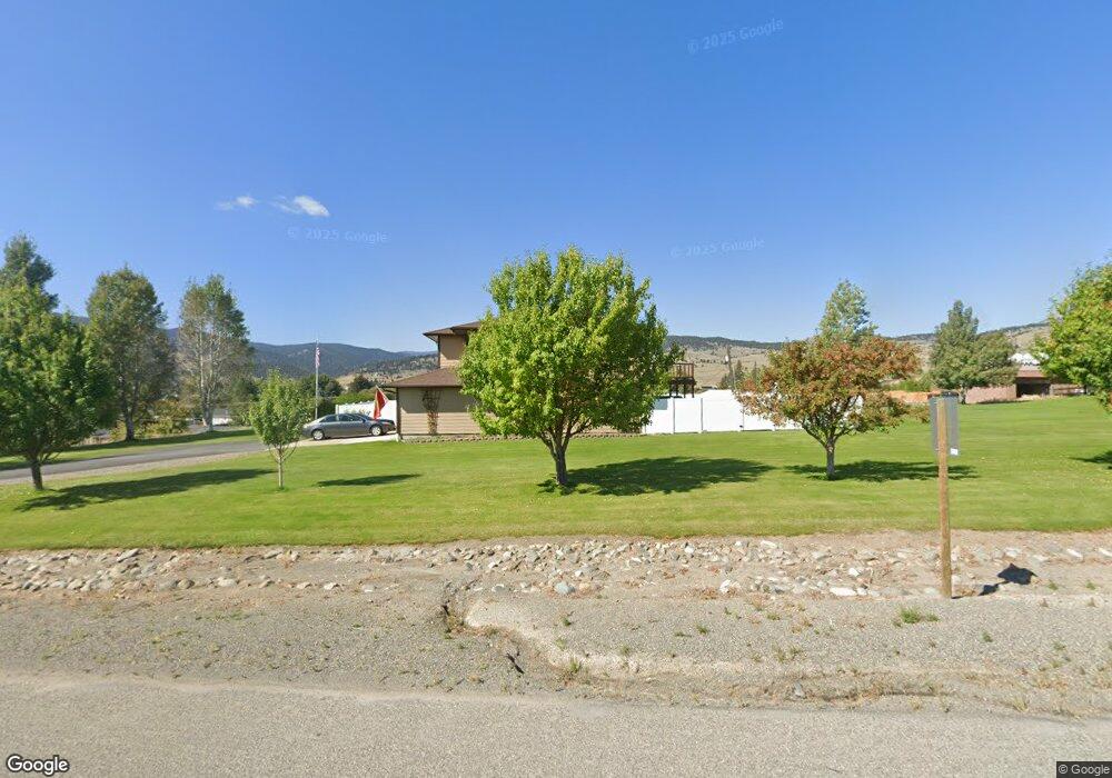
613 N Main St Boulder, MT 59632
Estimated Value: $378,000 - $419,000
4
Beds
4
Baths
1,741
Sq Ft
$230/Sq Ft
Est. Value
About This Home
This home is located at 613 N Main St, Boulder, MT 59632 and is currently estimated at $399,581, approximately $229 per square foot. 613 N Main St is a home with nearby schools including Jefferson High School.
Ownership History
Date
Name
Owned For
Owner Type
Purchase Details
Closed on
Mar 10, 2021
Sold by
City Of Boulder
Bought by
Sullivan Trent
Current Estimated Value
Purchase Details
Closed on
Jun 19, 2008
Sold by
Sullivan Trent and Sullivan Shelly
Bought by
Sullivan Trent M and Sullivan Shelly M
Home Financials for this Owner
Home Financials are based on the most recent Mortgage that was taken out on this home.
Original Mortgage
$220,500
Interest Rate
5.99%
Mortgage Type
New Conventional
Create a Home Valuation Report for This Property
The Home Valuation Report is an in-depth analysis detailing your home's value as well as a comparison with similar homes in the area
Purchase History
| Date | Buyer | Sale Price | Title Company |
|---|---|---|---|
| Sullivan Trent | -- | None Available | |
| Sullivan Trent M | -- | None Available |
Source: Public Records
Mortgage History
| Date | Status | Borrower | Loan Amount |
|---|---|---|---|
| Previous Owner | Sullivan Trent M | $220,500 |
Source: Public Records
Tax History
| Year | Tax Paid | Tax Assessment Tax Assessment Total Assessment is a certain percentage of the fair market value that is determined by local assessors to be the total taxable value of land and additions on the property. | Land | Improvement |
|---|---|---|---|---|
| 2025 | $2,415 | $408,300 | $0 | $0 |
| 2024 | $3,260 | $355,100 | $0 | $0 |
| 2023 | $3,140 | $344,100 | $0 | $0 |
| 2022 | $2,540 | $238,600 | $0 | $0 |
| 2021 | $2,340 | $238,600 | $0 | $0 |
| 2020 | $2,148 | $216,344 | $0 | $0 |
| 2019 | $2,149 | $216,344 | $0 | $0 |
| 2018 | $2,173 | $215,693 | $0 | $0 |
| 2017 | $2,111 | $258,773 | $0 | $0 |
| 2016 | $1,953 | $207,600 | $0 | $0 |
| 2015 | $2,159 | $207,600 | $0 | $0 |
| 2014 | $278 | $15,487 | $0 | $0 |
Source: Public Records
Map
Nearby Homes
- 403 N Washington St
- 303 N Adams St
- 114 N Washington St
- 508 & 510 W 1st Ave
- 218 S Madison St
- 306 S Adams St Unit 13
- 75 Foothill Rd
- 31 Rogers Ln
- 456 Boulder Frontage Rd
- TBD (12.7+/- acres) High Ore Rd
- TBD (12.7 +/- Acres High Ore Rd
- TBD (28.6 +/- Acres) High Ore Rd
- TBD (28.6+/- acres) High Ore Rd
- TBD (40.1 +/- Ac) High Ore Rd
- 83 Nursery Creek Rd
- 0 Tbd High Ore Rd Unit 23845743
- 0 Tbd High Ore Rd Unit 23863048
- 550 Boulder Frontage Rd
- 0 Tbd High Ore Rd Unit LotWP001
- NHN Boulder Chief Rd
- Tbd Garden Circle St
- Tbd Garden Cir
- 102 Lenore Ln
- 512 Garden Dr
- NHN Lenore Ln
- 108 Lenore Ln
- 103 E Potts St
- 204 N Garden
- 204 North Garden
- 509 Capitol Heights St
- 5 Lenore Ln
- 512 Capital Heights St
- 514 Capitol Heights St
- 513 Garden Dr
- 0 Lenore Ln
- Lot 12 Capitol Heights St
- TBD Capitol Heights St
- 510 Garden Dr
- 511 Garden Dr
- 505 Garden Dr
Your Personal Tour Guide
Ask me questions while you tour the home.