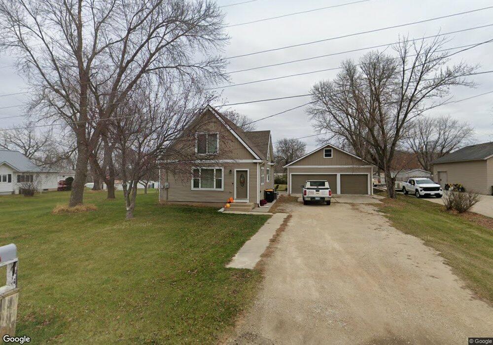
613 Portland Ct NE Rochester, MN 55906
Estimated Value: $193,000 - $374,000
3
Beds
2
Baths
1,536
Sq Ft
$189/Sq Ft
Est. Value
About This Home
This home is located at 613 Portland Ct NE, Rochester, MN 55906 and is currently estimated at $290,420, approximately $189 per square foot. 613 Portland Ct NE is a home located in Olmsted County with nearby schools including Gage Elementary School, Century Senior High School, and Resurrection Lutheran School.
Ownership History
Date
Name
Owned For
Owner Type
Purchase Details
Closed on
Sep 15, 2009
Sold by
Tonn Michael and Fort Michele L
Bought by
M & M Rentals Llc
Current Estimated Value
Purchase Details
Closed on
Jan 2, 2008
Sold by
Wells Fargo Bank Na
Bought by
Tonn Michael and Fort Michele L
Home Financials for this Owner
Home Financials are based on the most recent Mortgage that was taken out on this home.
Original Mortgage
$116,500
Interest Rate
6.11%
Mortgage Type
Purchase Money Mortgage
Purchase Details
Closed on
Apr 27, 2007
Sold by
Wharton Lyle Leroy
Bought by
Wells Fargo Bank Na
Purchase Details
Closed on
Apr 25, 2007
Sold by
Wharton Lyle Leroy
Bought by
Wells Fargo Bank Na
Create a Home Valuation Report for This Property
The Home Valuation Report is an in-depth analysis detailing your home's value as well as a comparison with similar homes in the area
Home Values in the Area
Average Home Value in this Area
Purchase History
| Date | Buyer | Sale Price | Title Company |
|---|---|---|---|
| M & M Rentals Llc | -- | None Available | |
| Tonn Michael | $85,000 | Burnet Title | |
| Wells Fargo Bank Na | $87,885 | None Available | |
| Wells Fargo Bank Na | $87,885 | None Available |
Source: Public Records
Mortgage History
| Date | Status | Borrower | Loan Amount |
|---|---|---|---|
| Previous Owner | Tonn Michael | $116,500 |
Source: Public Records
Tax History Compared to Growth
Tax History
| Year | Tax Paid | Tax Assessment Tax Assessment Total Assessment is a certain percentage of the fair market value that is determined by local assessors to be the total taxable value of land and additions on the property. | Land | Improvement |
|---|---|---|---|---|
| 2024 | $2,868 | $257,900 | $50,000 | $207,900 |
| 2023 | $2,526 | $254,500 | $50,000 | $204,500 |
| 2022 | $2,068 | $204,600 | $35,000 | $169,600 |
| 2021 | $1,886 | $182,700 | $35,000 | $147,700 |
| 2020 | $1,882 | $170,800 | $35,000 | $135,800 |
| 2019 | $1,734 | $159,500 | $35,000 | $124,500 |
| 2018 | $1,483 | $153,700 | $35,000 | $118,700 |
| 2017 | $1,460 | $131,000 | $35,000 | $96,000 |
| 2016 | $1,464 | $122,900 | $35,000 | $87,900 |
| 2015 | $1,370 | $120,900 | $35,000 | $85,900 |
| 2014 | $1,374 | $121,400 | $35,000 | $86,400 |
| 2012 | -- | $123,700 | $35,000 | $88,700 |
Source: Public Records
Map
Nearby Homes
- 739 55th St NE Unit 30
- 4359 22nd Ave NE
- 4386 22nd Ave NE
- 1441 Hadley Creek Dr NE
- 1459 Hadley Creek Dr NE
- 1495 Hadley Creek Dr NE
- 1845 Hadley Hills Dr NE
- 1893 Hadley Hills Dr NE
- 1870 Hadley Hills Dr NE
- 6317 Oak Meadow Ln NW
- 2033 Hadley Hills Dr NE
- 2163 Hadley Hills Dr NE
- XXXX N Broadway Ave
- 2335 Hadley Hills Dr NE
- 877 Picadilly Ln NW
- 3951 Stone Point Dr NE
- 6349 Merilane Place NW
- 885 Picadilly Ln NW
- 874 Londonderry Dr NW
- Mckinley Plan at Hadley Hills
- 607 Portland Ct NE
- 619 Portland Ct NE
- 601 Portland Ct NE
- 515 Portland Ct NE
- 515 55th St NE
- 512 Portland Ct NE
- 606 55th St NE
- 509 Portland Ct NE
- 510 55th St NE
- 503 Portland Ct NE
- 700 55th St NE
- 725 55th St NE
- 5510 Highway 63 N
- 5615 Broadway Ave N
- 5130 E River Rd NE
- 5506 Highway 63 N
- 5619 Highway 63 N
- 5601 Highway 63 N
- 5506 63rd Hwy N
- 5506 5506 63-Highway-n