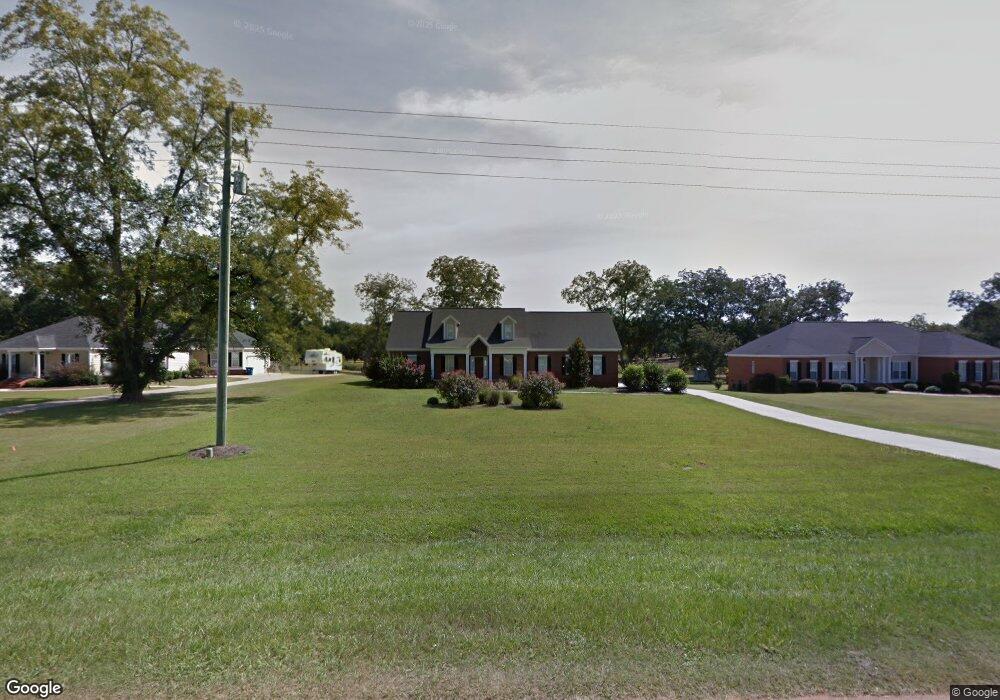
613 Winifred Rd Leesburg, GA 31763
Estimated Value: $447,000 - $609,000
4
Beds
3
Baths
3,458
Sq Ft
$149/Sq Ft
Est. Value
About This Home
This home is located at 613 Winifred Rd, Leesburg, GA 31763 and is currently estimated at $514,186, approximately $148 per square foot. 613 Winifred Rd is a home located in Lee County with nearby schools including Lee County Primary School, Lee County Elementary School, and Lee County Middle School - West Campus.
Ownership History
Date
Name
Owned For
Owner Type
Purchase Details
Closed on
Sep 3, 2013
Sold by
Nationstar Mtg Llc
Bought by
Federal Home Loan Mortgage Corporation
Current Estimated Value
Purchase Details
Closed on
Mar 21, 2007
Sold by
Holleewood Llc
Bought by
Brown Derrick
Home Financials for this Owner
Home Financials are based on the most recent Mortgage that was taken out on this home.
Original Mortgage
$287,900
Interest Rate
6.18%
Mortgage Type
New Conventional
Create a Home Valuation Report for This Property
The Home Valuation Report is an in-depth analysis detailing your home's value as well as a comparison with similar homes in the area
Home Values in the Area
Average Home Value in this Area
Purchase History
| Date | Buyer | Sale Price | Title Company |
|---|---|---|---|
| Federal Home Loan Mortgage Corporation | $330,734 | -- | |
| Nationstar Mtg Llc | $330,734 | -- | |
| Brown Derrick | $359,900 | -- |
Source: Public Records
Mortgage History
| Date | Status | Borrower | Loan Amount |
|---|---|---|---|
| Previous Owner | Brown Derrick | $287,900 | |
| Previous Owner | Brown Derrick | $36,000 |
Source: Public Records
Tax History Compared to Growth
Tax History
| Year | Tax Paid | Tax Assessment Tax Assessment Total Assessment is a certain percentage of the fair market value that is determined by local assessors to be the total taxable value of land and additions on the property. | Land | Improvement |
|---|---|---|---|---|
| 2024 | $3,862 | $127,840 | $16,000 | $111,840 |
| 2023 | $3,602 | $127,840 | $16,000 | $111,840 |
| 2022 | $3,602 | $127,840 | $16,000 | $111,840 |
| 2021 | $3,609 | $127,840 | $16,000 | $111,840 |
| 2020 | $3,426 | $103,520 | $12,000 | $91,520 |
| 2019 | $3,488 | $103,520 | $12,000 | $91,520 |
| 2018 | $3,489 | $103,520 | $12,000 | $91,520 |
| 2017 | $3,304 | $103,520 | $12,000 | $91,520 |
| 2016 | $3,304 | $103,520 | $12,000 | $91,520 |
| 2015 | $3,322 | $103,520 | $12,000 | $91,520 |
| 2014 | $3,838 | $119,160 | $12,000 | $107,160 |
| 2013 | -- | $119,160 | $12,000 | $107,160 |
Source: Public Records
Map
Nearby Homes
- 680 Winifred Rd
- 695 Winifred Rd
- 109 Lambeth Ct
- 127 Shumard Ct
- 307 Ambleside Dr
- 324 Ambleside Dr
- 107 Beowulf Ln
- 122 Live Oak Dr
- 158 Live Oak Dr
- 129 Willow Oak Loop
- 141 Willow Oak Loop
- 125 Willow Oak Loop
- 109 Barrondale Ct
- 227 Longleaf Dr
- 153 Willow Oak Loop
- 121 Willow Oak Loop
- 154 Hank Dr
- 174 Hank Dr
- 252 Wiregrass Way
- 186 Glen Arven Dr
- 617 Winifred Rd
- 609 Winifred Rd
- 621 Winifred Rd
- 601 Winifred Rd
- 625 Winifred Rd
- 597 Winifred Rd
- 629 Winifred Rd
- 592 Winifred Rd
- 616 Winifred Rd
- 591 Winifred Rd
- 622 Winifred Rd
- 633 Winifred Rd
- 115 Donley Dr
- 628 Winifred Rd
- 639 Winifred Rd
- 634 Winifred Rd
- 100 Donley Dr
- 100 Brompton Dr
- 106 Nandina Ct
- 107 Nandina Ct