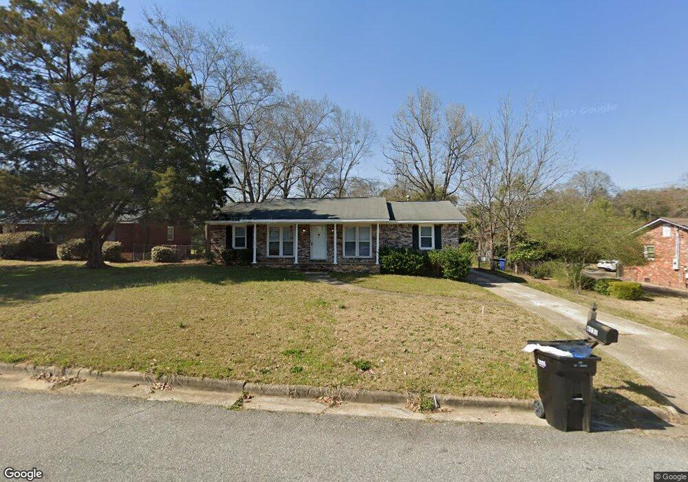
6131 Arnold Dr Columbus, GA 31907
Eastern Columbus NeighborhoodEstimated Value: $184,000 - $215,000
3
Beds
2
Baths
1,382
Sq Ft
$143/Sq Ft
Est. Value
About This Home
This home is located at 6131 Arnold Dr, Columbus, GA 31907 and is currently estimated at $197,588, approximately $142 per square foot. 6131 Arnold Dr is a home located in Muscogee County with nearby schools including Waddell Elementary School, Midland Middle School, and Hardaway High School.
Ownership History
Date
Name
Owned For
Owner Type
Purchase Details
Closed on
Apr 8, 2009
Sold by
Kennon Realty Services Inc
Bought by
Horner Daniel J
Current Estimated Value
Home Financials for this Owner
Home Financials are based on the most recent Mortgage that was taken out on this home.
Original Mortgage
$137,900
Outstanding Balance
$88,292
Interest Rate
5.18%
Mortgage Type
VA
Estimated Equity
$109,296
Purchase Details
Closed on
Oct 7, 2008
Sold by
Phillips Alma R
Bought by
Kennon Realty Services Inc
Create a Home Valuation Report for This Property
The Home Valuation Report is an in-depth analysis detailing your home's value as well as a comparison with similar homes in the area
Home Values in the Area
Average Home Value in this Area
Purchase History
| Date | Buyer | Sale Price | Title Company |
|---|---|---|---|
| Horner Daniel J | $135,000 | None Available | |
| Kennon Realty Services Inc | $82,305 | None Available |
Source: Public Records
Mortgage History
| Date | Status | Borrower | Loan Amount |
|---|---|---|---|
| Open | Horner Daniel J | $137,900 |
Source: Public Records
Tax History Compared to Growth
Tax History
| Year | Tax Paid | Tax Assessment Tax Assessment Total Assessment is a certain percentage of the fair market value that is determined by local assessors to be the total taxable value of land and additions on the property. | Land | Improvement |
|---|---|---|---|---|
| 2025 | $2,303 | $58,840 | $10,696 | $48,144 |
| 2024 | $2,303 | $58,840 | $10,696 | $48,144 |
| 2023 | $2,318 | $58,840 | $10,696 | $48,144 |
| 2022 | $1,965 | $48,132 | $10,696 | $37,436 |
| 2021 | $1,965 | $48,124 | $10,696 | $37,428 |
| 2020 | $1,965 | $48,124 | $10,696 | $37,428 |
| 2019 | $1,972 | $48,124 | $10,696 | $37,428 |
| 2018 | $1,972 | $48,124 | $10,696 | $37,428 |
| 2017 | $1,978 | $48,124 | $10,696 | $37,428 |
| 2016 | $2,221 | $53,833 | $4,135 | $49,698 |
| 2015 | $2,223 | $53,833 | $4,135 | $49,698 |
| 2014 | $2,224 | $53,779 | $4,135 | $49,644 |
| 2013 | -- | $53,779 | $4,135 | $49,644 |
Source: Public Records
Map
Nearby Homes
- 6215 Parker Dr
- 5640 Lakeshore Rd
- 6236 Olde Towne Dr
- 5434 Rockhurst Dr
- 5804 Dearborn Ave
- 4931 Woodruff Farm Rd
- 4700 Bondale Dr
- 5966 Fornof Rd
- 5717 Flat Rock Rd
- 4628 Sears Rd
- 7101 Cross Tie Dr
- 5408 Old Dominion Rd
- 0 Bondale Dr Unit 11578793
- 5422 Colony Dr
- 5324 Colony Dr
- 5197 Kendal Ct
- 5260 Woodruff Farm Rd
- 5018 Woodruff Farm Rd
- 5590 Macon Rd
- 6222 Goodwin Dr