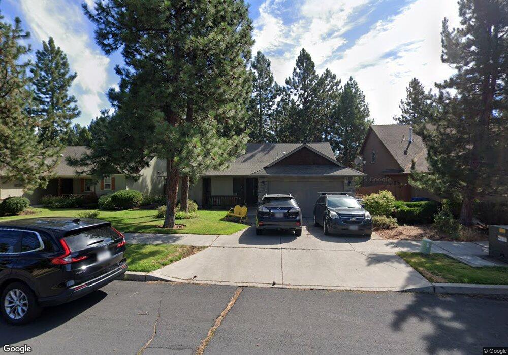
61310 Columbine Ln Bend, OR 97702
Southwest Bend NeighborhoodEstimated Value: $625,086 - $680,000
3
Beds
2
Baths
1,505
Sq Ft
$435/Sq Ft
Est. Value
About This Home
This home is located at 61310 Columbine Ln, Bend, OR 97702 and is currently estimated at $654,272, approximately $434 per square foot. 61310 Columbine Ln is a home located in Deschutes County with nearby schools including Pine Ridge Elementary School, Cascade Middle School, and Bend Senior High School.
Ownership History
Date
Name
Owned For
Owner Type
Purchase Details
Closed on
Jun 9, 2006
Sold by
Pansini Andrew A and Pansini Pamela L
Bought by
Pansini Andrew A and Pansini Pamela L
Current Estimated Value
Purchase Details
Closed on
Feb 28, 2005
Sold by
Rare Properties Llc
Bought by
Pansini Andrew A and Pansini Pamela L
Home Financials for this Owner
Home Financials are based on the most recent Mortgage that was taken out on this home.
Original Mortgage
$135,000
Outstanding Balance
$67,527
Interest Rate
5.61%
Mortgage Type
Unknown
Estimated Equity
$586,745
Create a Home Valuation Report for This Property
The Home Valuation Report is an in-depth analysis detailing your home's value as well as a comparison with similar homes in the area
Home Values in the Area
Average Home Value in this Area
Purchase History
| Date | Buyer | Sale Price | Title Company |
|---|---|---|---|
| Pansini Andrew A | -- | None Available | |
| Pansini Andrew A | $210,355 | First Amer Title Ins Co Or |
Source: Public Records
Mortgage History
| Date | Status | Borrower | Loan Amount |
|---|---|---|---|
| Open | Pansini Andrew A | $135,000 |
Source: Public Records
Tax History Compared to Growth
Tax History
| Year | Tax Paid | Tax Assessment Tax Assessment Total Assessment is a certain percentage of the fair market value that is determined by local assessors to be the total taxable value of land and additions on the property. | Land | Improvement |
|---|---|---|---|---|
| 2025 | $3,752 | $222,060 | -- | -- |
| 2024 | $3,610 | $215,600 | -- | -- |
| 2023 | $3,347 | $209,330 | $0 | $0 |
| 2022 | $3,122 | $197,330 | $0 | $0 |
| 2021 | $3,127 | $191,590 | $0 | $0 |
| 2020 | $2,967 | $191,590 | $0 | $0 |
| 2019 | $2,884 | $186,010 | $0 | $0 |
| 2018 | $2,803 | $180,600 | $0 | $0 |
| 2017 | $2,787 | $175,340 | $0 | $0 |
| 2016 | $2,661 | $170,240 | $0 | $0 |
| 2015 | $2,589 | $165,290 | $0 | $0 |
| 2014 | $2,515 | $160,480 | $0 | $0 |
Source: Public Records
Map
Nearby Homes
- 61375 Huckleberry Place
- 61257 Bronze Meadow Ln
- 19788 Chicory Ave
- 61279 Gorge View St
- 61344 Elkhorn St
- 19779 Hollygrape St
- 61369 Elkhorn St
- 60915 SE Epic Place
- 20839 SE Caldera Dr
- 20050 Elizabeth Ln
- 61388 Elkhorn St
- 61379 Sally Ln
- 19717 Mt Bachelor Dr Unit 330E
- 19717 Mount Bachelor Dr Unit 421
- 19717 SW Mount Bachelor Dr Unit 118
- 19717 SW Mount Bachelor Dr Unit 420B
- 19717 SW Mount Bachelor Dr Unit 252
- 19717 SW Mount Bachelor Dr Unit 605
- 19717 SW Mount Bachelor Dr Unit 154
- 19717 SW Mount Bachelor Dr Unit 328E
- 61306 Columbine Ln
- 61302 Columbine Ln
- 61333 Osprey Nest Place
- 61325 Osprey Nest Place
- 19964 Quail Pine Loop
- 19960 Quail Pine Loop
- 61317 Osprey Nest Place
- 61311 Columbine Ln
- 19844 Kenzie Ave
- 19956 Quail Pine Loop
- 61315 Columbine Ln
- 61309 Osprey Nest Place
- 19840 Kenzie Ave
- 61334 Osprey Nest Place
- 61319 Columbine Ln
- 61326 Osprey Nest Place
- 61294 Columbine Ln
- 61301 Osprey Nest Place
- 61297 Columbine Ln