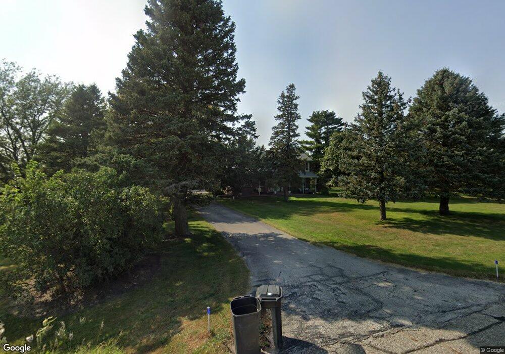
6133 210th Ave Newell, IA 50568
Estimated Value: $325,428 - $352,000
3
Beds
3
Baths
2,344
Sq Ft
$143/Sq Ft
Est. Value
About This Home
This home is located at 6133 210th Ave, Newell, IA 50568 and is currently estimated at $335,143, approximately $142 per square foot. 6133 210th Ave is a home located in Buena Vista County with nearby schools including Newell-Fonda Elementary School, Newell-Fonda Middle School, and Newell-Fonda High School.
Ownership History
Date
Name
Owned For
Owner Type
Purchase Details
Closed on
Jul 2, 2018
Sold by
Olsen Robert A and Olsen Tracey L
Bought by
Binning Chip
Current Estimated Value
Home Financials for this Owner
Home Financials are based on the most recent Mortgage that was taken out on this home.
Original Mortgage
$278,000
Interest Rate
4.5%
Mortgage Type
Credit Line Revolving
Create a Home Valuation Report for This Property
The Home Valuation Report is an in-depth analysis detailing your home's value as well as a comparison with similar homes in the area
Home Values in the Area
Average Home Value in this Area
Purchase History
| Date | Buyer | Sale Price | Title Company |
|---|---|---|---|
| Binning Chip | $279,000 | -- |
Source: Public Records
Mortgage History
| Date | Status | Borrower | Loan Amount |
|---|---|---|---|
| Open | Binning Chip | $231,505 | |
| Closed | Binning Chip | $232,000 | |
| Closed | Binning Chip | $232,000 | |
| Closed | Binning Chip | $278,000 | |
| Previous Owner | Olsen Rob A | $211,500 |
Source: Public Records
Tax History Compared to Growth
Tax History
| Year | Tax Paid | Tax Assessment Tax Assessment Total Assessment is a certain percentage of the fair market value that is determined by local assessors to be the total taxable value of land and additions on the property. | Land | Improvement |
|---|---|---|---|---|
| 2024 | $3,841 | $302,010 | $25,740 | $276,270 |
| 2023 | $3,286 | $302,010 | $25,740 | $276,270 |
| 2022 | $3,020 | $229,350 | $25,740 | $203,610 |
| 2021 | $3,030 | $229,350 | $25,740 | $203,610 |
| 2020 | $2,714 | $198,410 | $19,800 | $178,610 |
| 2019 | $2,258 | $198,410 | $19,800 | $178,610 |
| 2018 | $2,272 | $168,680 | $20,590 | $148,090 |
| 2017 | $2,170 | $168,680 | $20,590 | $148,090 |
| 2016 | $2,134 | $159,420 | $20,590 | $138,830 |
| 2015 | $2,134 | $153,290 | $0 | $0 |
| 2014 | $2,024 | $153,290 | $0 | $0 |
Source: Public Records
Map
Nearby Homes
- 6057 210th Ave
- 474 E Jensen St
- 136 Cedar St
- 310 S Howard St
- 104 Main St
- 1745 555th St
- 504 Queen St
- 110 Park St
- 108 Park St
- 201 Sunrise Park Rd Unit 104
- 201 Sunrise Park Rd Unit 308
- 201 Sunrise Park Rd Unit 101
- 201 Sunrise Park Rd Unit 202
- 201 Sunrise Park Rd Unit 312
- 201 Sunrise Park Rd Unit 116
- 201 Sunrise Park Rd Unit 211
- 1711 Tulip Ln
- 616 Lakeshore Dr
- 2070 Rolf Ave
- 1105 560th St