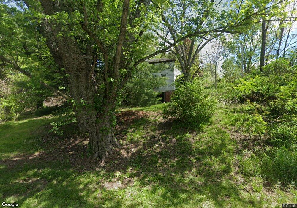
61338 Morgan Rd New Concord, OH 43762
Estimated Value: $188,000 - $398,000
--
Bed
2
Baths
2,925
Sq Ft
$93/Sq Ft
Est. Value
About This Home
This home is located at 61338 Morgan Rd, New Concord, OH 43762 and is currently estimated at $270,834, approximately $92 per square foot. 61338 Morgan Rd is a home with nearby schools including New Concord Elementary School, Larry Miller Intermediate Elementary School, and East Muskingum Middle School.
Ownership History
Date
Name
Owned For
Owner Type
Purchase Details
Closed on
Feb 26, 2024
Sold by
J & J Muskingum R/E Llc
Bought by
Main Street Real Estate Ltd
Current Estimated Value
Purchase Details
Closed on
Oct 11, 2018
Sold by
Goff Carol
Bought by
J & J Muskingum Real Estate Llc
Purchase Details
Closed on
Feb 16, 2016
Sold by
Harmon Paula Y
Bought by
Goff Carol
Create a Home Valuation Report for This Property
The Home Valuation Report is an in-depth analysis detailing your home's value as well as a comparison with similar homes in the area
Home Values in the Area
Average Home Value in this Area
Purchase History
| Date | Buyer | Sale Price | Title Company |
|---|---|---|---|
| Main Street Real Estate Ltd | -- | None Listed On Document | |
| J & J Muskingum Real Estate Llc | -- | None Available | |
| Goff Carol | $10,000 | None Available |
Source: Public Records
Tax History Compared to Growth
Tax History
| Year | Tax Paid | Tax Assessment Tax Assessment Total Assessment is a certain percentage of the fair market value that is determined by local assessors to be the total taxable value of land and additions on the property. | Land | Improvement |
|---|---|---|---|---|
| 2024 | $2,099 | $52,510 | $15,886 | $36,624 |
| 2023 | $2,099 | $40,086 | $12,128 | $27,958 |
| 2022 | $1,756 | $40,090 | $12,130 | $27,960 |
| 2021 | $1,699 | $40,090 | $12,130 | $27,960 |
| 2020 | $1,560 | $36,930 | $9,960 | $26,970 |
| 2019 | $6 | $36,930 | $9,960 | $26,970 |
| 2018 | $1,439 | $36,930 | $9,960 | $26,970 |
| 2017 | $1,433 | $32,020 | $8,660 | $23,360 |
| 2016 | $1,300 | $32,020 | $8,660 | $23,360 |
| 2015 | $1,300 | $32,020 | $8,660 | $23,360 |
| 2014 | $792 | $28,040 | $6,790 | $21,250 |
| 2013 | $778 | $28,040 | $6,790 | $21,250 |
Source: Public Records
Map
Nearby Homes
- Lot 18 & 19 Greenbriar Dr
- 61220 Kadon Dr
- 1420 Glenn Hwy
- 60936 Patch Rd
- 67 E Main St
- 60040 Bliss Rd
- 8 E Main St
- 53 Paden Rd
- 154 Montgomery Blvd
- 0 Maple Ln
- 112 Thompson Ave
- 3859 Mayfair Ln
- 760 Friendship Dr
- 930 Friendship Dr
- 1165 Friendship Dr
- 12985 John Glenn School Rd
- 4480 Peters Creek Rd
- 225 Homestead Dr
- 62063 Savage Rd
- 4896 High Hill Rd
- 2303 Glenn Hwy Unit B
- 61306 Samanna Ln
- 61380 Summit Rd
- 61294 Samanna Ln
- 61369 Summit Rd
- 2070 Sunset Dr
- 61406 Summit Rd
- 61333 Greenbriar Dr
- 61393 Summit Rd
- 61419 Summit Rd
- 0 Greenbriar Dr
- 1836 Glenn Hwy
- 61428 Summit Rd
- 2303 John Glenn Hwy
- 61438 Stillmeadow Ln
- 61425 Summit Rd
- 2044 Sunset Dr
- 61312 Greenbriar Dr
- 2303B Glenn Hwy
- 61288 Greenbriar Dr