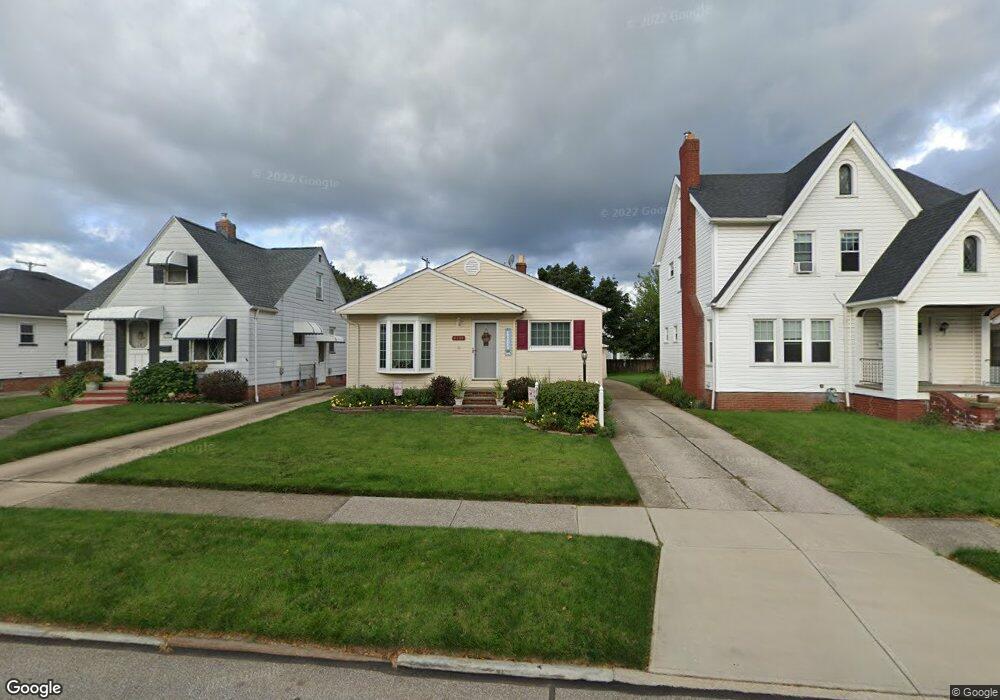
6134 Wareham Dr Cleveland, OH 44129
Estimated Value: $188,000 - $205,841
About This Home
This home is located at 6134 Wareham Dr, Cleveland, OH 44129 and is currently estimated at $194,960, approximately $183 per square foot. 6134 Wareham Dr is a home located in Cuyahoga County with nearby schools including Thoreau Park Elementary School, Shiloh Middle School, and Valley Forge High School.
Ownership History
We collect this data history from publicly available records. To have your information removed, we recommend requesting removal directly through your county’s website.
Purchase Details
Home Financials for this Owner
Home Financials are based on the most recent Mortgage that was taken out on this home.Purchase Details
Purchase Details
Purchase Details
Purchase Details
Purchase Details
Home Values in the Area
Average Home Value in this Area
Purchase History
We collect this data history from publicly available records. To have your information removed, we recommend requesting removal directly through your county’s website.
| Date | Buyer | Sale Price | Title Company |
|---|---|---|---|
| $102,500 | Midland Title Security Inc | ||
| $85,000 | -- | ||
| $62,500 | -- | ||
| $54,500 | -- | ||
| -- | -- | ||
| -- | -- |
Mortgage History
We collect this data history from publicly available records. To have your information removed, we recommend requesting removal directly through your county’s website.
| Date | Status | Borrower | Loan Amount |
|---|---|---|---|
| Open | $87,000 |
Tax History
We collect this data history from publicly available records. To have your information removed, we recommend requesting removal directly through your county’s website.
| Year | Tax Paid | Tax Assessment Tax Assessment Total Assessment is a certain percentage of the fair market value that is determined by local assessors to be the total taxable value of land and additions on the property. | Land | Improvement |
|---|---|---|---|---|
| 2025 | $3,256 | $56,490 | $10,500 | $45,990 |
| 2024 | $3,443 | $56,490 | $10,500 | $45,990 |
| 2023 | $2,934 | $41,100 | $9,280 | $31,820 |
| 2022 | $2,906 | $41,090 | $9,275 | $31,815 |
| 2021 | $2,988 | $41,090 | $9,280 | $31,820 |
| 2020 | $2,618 | $31,610 | $7,140 | $24,470 |
| 2019 | $2,504 | $90,300 | $20,400 | $69,900 |
| 2018 | $2,377 | $31,610 | $7,140 | $24,470 |
| 2017 | $2,396 | $27,300 | $5,320 | $21,980 |
| 2016 | $2,381 | $27,300 | $5,320 | $21,980 |
| 2015 | $2,271 | $27,300 | $5,320 | $21,980 |
| 2014 | $2,271 | $27,870 | $5,430 | $22,440 |
Map
- 6150 Wareham Dr
- 6193 N Canterbury Rd
- 6502 Renwood Dr
- 6415 Pelham Dr
- 6118 Ridge Rd
- 6602 Brownfield Dr
- 6145 Stanbury Rd
- 6237 Chestnut Hills Dr
- 6818 Belmere Dr
- 6806 Dartworth Dr
- 6107 Ackley Rd
- 7906 Kenton Ave
- 6370 Manchester Rd
- 6110 Hollywood Dr
- 5410 Renwood Dr
- 5803 Morningside Dr
- 6715 Wilber Ave
- 7614 Spring Garden Rd
- 8023 Ivandale Dr
- 6133 W 54th St
- 6151 Wareham Dr
- 6151 Wareham Dr Unit 2/UP
- 6151 Wareham Dr Unit UP
- 6151 Wareham Dr Unit 1
- 6151 Wareham Dr Unit 1/DN
- 6157 Wareham Dr
- 6147 Wareham Dr
- 6150 Kelsey Rd
- 6818 Pelham Dr
- 6137 Wareham Dr
- 6822 Pelham Dr
- 6156 Kelsey Rd
- 6156 Kelsey Rd Unit Down
- 6156 Kelsey Rd Unit UP
- 6146 Kelsey Rd
- 6812 Pelham Dr
- 6142 Kelsey Rd
- 6806 Pelham Dr
- 6160 Kelsey Rd
- 6134 Kelsey Rd
Ask me questions while you tour the home.