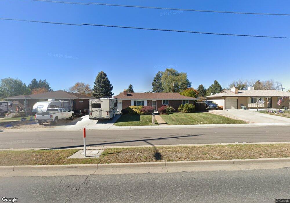
6135 Sheridan Blvd Arvada, CO 80003
Lamar Heights NeighborhoodEstimated Value: $489,924 - $556,000
3
Beds
3
Baths
1,122
Sq Ft
$464/Sq Ft
Est. Value
About This Home
This home is located at 6135 Sheridan Blvd, Arvada, CO 80003 and is currently estimated at $520,231, approximately $463 per square foot. 6135 Sheridan Blvd is a home located in Jefferson County with nearby schools including Swanson Elementary School, North Arvada Middle School, and Arvada High School.
Ownership History
Date
Name
Owned For
Owner Type
Purchase Details
Closed on
Apr 9, 1999
Sold by
Bull Gloria A and Bull Terry A
Bought by
Tebben Lloyd F and Tebben Patricia F
Current Estimated Value
Home Financials for this Owner
Home Financials are based on the most recent Mortgage that was taken out on this home.
Original Mortgage
$108,000
Outstanding Balance
$27,393
Interest Rate
7.06%
Estimated Equity
$492,838
Purchase Details
Closed on
Oct 29, 1996
Sold by
Grothendick Grace A
Bought by
Grothendick Grace A and Bull Gloria A
Create a Home Valuation Report for This Property
The Home Valuation Report is an in-depth analysis detailing your home's value as well as a comparison with similar homes in the area
Home Values in the Area
Average Home Value in this Area
Purchase History
| Date | Buyer | Sale Price | Title Company |
|---|---|---|---|
| Tebben Lloyd F | $135,000 | -- | |
| Grothendick Grace A | -- | -- |
Source: Public Records
Mortgage History
| Date | Status | Borrower | Loan Amount |
|---|---|---|---|
| Open | Tebben Lloyd F | $108,000 |
Source: Public Records
Tax History Compared to Growth
Tax History
| Year | Tax Paid | Tax Assessment Tax Assessment Total Assessment is a certain percentage of the fair market value that is determined by local assessors to be the total taxable value of land and additions on the property. | Land | Improvement |
|---|---|---|---|---|
| 2024 | $2,035 | $27,677 | $12,869 | $14,808 |
| 2023 | $2,035 | $27,677 | $12,869 | $14,808 |
| 2022 | $1,497 | $22,234 | $9,082 | $13,152 |
| 2021 | $1,522 | $22,874 | $9,344 | $13,530 |
| 2020 | $1,327 | $20,905 | $5,817 | $15,088 |
| 2019 | $1,309 | $20,905 | $5,817 | $15,088 |
| 2018 | $1,092 | $18,350 | $4,564 | $13,786 |
| 2017 | $999 | $18,350 | $4,564 | $13,786 |
| 2016 | $702 | $14,762 | $4,860 | $9,902 |
| 2015 | $1,257 | $14,762 | $4,860 | $9,902 |
| 2014 | $1,257 | $12,415 | $4,184 | $8,231 |
Source: Public Records
Map
Nearby Homes
- 6185 Sheridan Blvd
- 4964 W 61st Dr
- 5375 W 60th Ave
- 5375 W 60th Ave Unit 2
- 4904 W 61st Dr
- 6283 Xavier St
- 6365 Xavier Ct
- 6367 Xavier St
- 6080 Fenton St
- 6373 Depew St
- 6102 Uno St
- 5804 W 64th Ave
- 6305 Tennyson St
- 5320 W 66th Ave
- 6316 Tennyson St
- 6503 Gray St
- 6349 Ingalls St
- 6188 Stuart St
- 6656 Benton St
- 6809 Zenobia St Unit 1
- 6115 Sheridan Blvd
- 6175 Sheridan Blvd
- 6130 Ames St
- 6095 Sheridan Blvd
- 6105 Sheridan Blvd
- 6110 Ames St
- 6150 Ames St
- 6100 Ames St
- 6170 Ames St
- 5230 W 62nd Ave
- 6139 Zenobia Ct
- 6090 Ames St
- 6190 Ames St
- 5185 W 61st Dr Unit 9
- 5185 W 61st Dr Unit 10
- 5185 W 61st Dr Unit 11
- 5185 W 61st Dr Unit 12
- 5185 W 61st Dr
- 6149 Zenobia Ct
- 6159 Zenobia Ct