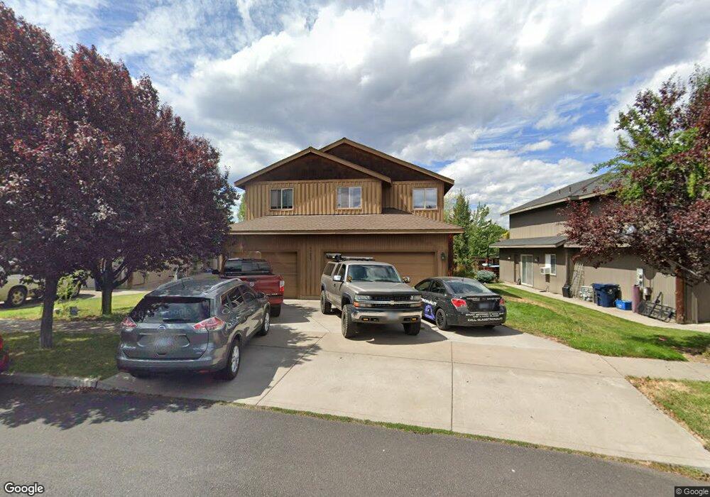
61355 Sally Ln Unit 1 & 2 Bend, OR 97702
Southwest Bend NeighborhoodEstimated Value: $727,133 - $764,000
5
Beds
3
Baths
2,495
Sq Ft
$301/Sq Ft
Est. Value
About This Home
This home is located at 61355 Sally Ln Unit 1 & 2, Bend, OR 97702 and is currently estimated at $749,783, approximately $300 per square foot. 61355 Sally Ln Unit 1 & 2 is a home located in Deschutes County with nearby schools including Pine Ridge Elementary School, Cascade Middle School, and Bend Senior High School.
Ownership History
Date
Name
Owned For
Owner Type
Purchase Details
Closed on
Sep 13, 2014
Sold by
Chang Geroge
Bought by
The Robert G Olsen & Gail M Olsen Joint
Current Estimated Value
Purchase Details
Closed on
May 12, 2005
Sold by
Robinson Audia Development Llc
Bought by
Chang George
Home Financials for this Owner
Home Financials are based on the most recent Mortgage that was taken out on this home.
Original Mortgage
$269,990
Interest Rate
5.93%
Mortgage Type
Fannie Mae Freddie Mac
Create a Home Valuation Report for This Property
The Home Valuation Report is an in-depth analysis detailing your home's value as well as a comparison with similar homes in the area
Home Values in the Area
Average Home Value in this Area
Purchase History
| Date | Buyer | Sale Price | Title Company |
|---|---|---|---|
| The Robert G Olsen & Gail M Olsen Joint | $280,000 | Deschutes County Title Co | |
| Chang George | $299,999 | First Amer Title Ins Co Or |
Source: Public Records
Mortgage History
| Date | Status | Borrower | Loan Amount |
|---|---|---|---|
| Previous Owner | Chang George | $269,990 |
Source: Public Records
Tax History
| Year | Tax Paid | Tax Assessment Tax Assessment Total Assessment is a certain percentage of the fair market value that is determined by local assessors to be the total taxable value of land and additions on the property. | Land | Improvement |
|---|---|---|---|---|
| 2025 | $4,766 | $282,050 | -- | -- |
| 2024 | $4,585 | $273,840 | -- | -- |
| 2023 | $4,250 | $265,870 | $0 | $0 |
| 2022 | $3,966 | $250,620 | $0 | $0 |
| 2021 | $3,972 | $243,330 | $0 | $0 |
| 2020 | $3,768 | $243,330 | $0 | $0 |
| 2019 | $3,663 | $236,250 | $0 | $0 |
| 2018 | $3,560 | $229,370 | $0 | $0 |
| 2017 | $3,455 | $222,690 | $0 | $0 |
| 2016 | $3,295 | $216,210 | $0 | $0 |
| 2015 | $3,204 | $209,920 | $0 | $0 |
| 2014 | $3,110 | $203,810 | $0 | $0 |
Source: Public Records
Map
Nearby Homes
- 20086 Porter Place
- 61388 Elkhorn St
- 61336 Elkhorn St
- 20080 Mount Hope Ln
- 20098 Elizabeth Ln
- 20017 Voltera Place
- 61521 Sunny Breeze Ln
- 61514 Tall Tree Ct
- 0 Pinebrook Blvd Unit 220199740
- 19895 Porcupine Dr
- 20192 Reed Ln
- 61324 Sparrow Ct
- 61176 Larkwood Dr
- 61280 Parrell Rd Unit 10
- 61304 SE Wizard Ln Unit 8
- 20221 Silver Sage St
- 1216 SW Bryanwood Place
- 20199 Roats Ln
- 20246 Gaines Ct
- 1245 SW Tanner Ct
- 61355 Sally Ln
- 61361 Sally Ln
- 61349 Sally Ln
- 61367 Sally Ln
- 61343 Sally Ln
- 20065 Porter Place
- 61373 Sally Ln
- 20054 Doanna Way
- 61364 Sally Ln
- 5 Porter Place
- 20069 Porter Place
- 61368 Elkhorn St
- 61337 Sally Ln
- 61364 Elkhorn St
- 61372 Elkhorn St
- 61331 Sally Ln
- 20060 Doanna Way
- 61379 Sally Ln
- 61379 Sally Ln Unit 1-2
Your Personal Tour Guide
Ask me questions while you tour the home.