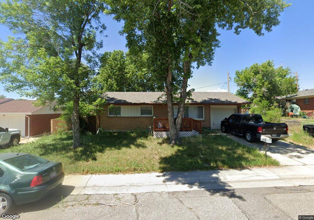
6137 Vrain St Arvada, CO 80003
Southeast Westminster NeighborhoodEstimated Value: $397,000 - $543,000
2
Beds
1
Bath
999
Sq Ft
$471/Sq Ft
Est. Value
About This Home
This home is located at 6137 Vrain St, Arvada, CO 80003 and is currently estimated at $470,296, approximately $470 per square foot. 6137 Vrain St is a home located in Adams County with nearby schools including Tennyson Knolls Preparatory School, Colorado Sports Leadership Academy, and Westminster High School.
Ownership History
Date
Name
Owned For
Owner Type
Purchase Details
Closed on
Oct 1, 2021
Sold by
Rohrig Stanley and The Marjorie A Rohrig Trust
Bought by
Francescato Nathaniel
Current Estimated Value
Home Financials for this Owner
Home Financials are based on the most recent Mortgage that was taken out on this home.
Original Mortgage
$361,000
Outstanding Balance
$326,328
Interest Rate
2.8%
Mortgage Type
New Conventional
Estimated Equity
$143,968
Purchase Details
Closed on
Jun 19, 2015
Sold by
Rohrig Marjorie A
Bought by
Marjorie A Rohrig Trust
Create a Home Valuation Report for This Property
The Home Valuation Report is an in-depth analysis detailing your home's value as well as a comparison with similar homes in the area
Home Values in the Area
Average Home Value in this Area
Purchase History
| Date | Buyer | Sale Price | Title Company |
|---|---|---|---|
| Francescato Nathaniel | $380,000 | Land Title Guarantee | |
| Marjorie A Rohrig Trust | -- | None Available |
Source: Public Records
Mortgage History
| Date | Status | Borrower | Loan Amount |
|---|---|---|---|
| Open | Francescato Nathaniel | $361,000 |
Source: Public Records
Tax History
| Year | Tax Paid | Tax Assessment Tax Assessment Total Assessment is a certain percentage of the fair market value that is determined by local assessors to be the total taxable value of land and additions on the property. | Land | Improvement |
|---|---|---|---|---|
| 2025 | $3,126 | $28,360 | $7,480 | $20,880 |
| 2024 | $3,126 | $26,070 | $6,880 | $19,190 |
| 2023 | $3,109 | $30,380 | $6,700 | $23,680 |
| 2022 | $2,925 | $23,710 | $6,880 | $16,830 |
| 2021 | $2,992 | $23,710 | $6,880 | $16,830 |
| 2020 | $2,694 | $21,750 | $7,080 | $14,670 |
| 2019 | $2,688 | $21,750 | $7,080 | $14,670 |
| 2018 | $2,208 | $17,770 | $6,120 | $11,650 |
| 2017 | $1,938 | $17,770 | $6,120 | $11,650 |
| 2016 | $1,440 | $12,550 | $3,580 | $8,970 |
| 2015 | $1,439 | $12,550 | $3,580 | $8,970 |
| 2014 | $1,309 | $10,930 | $2,990 | $7,940 |
Source: Public Records
Map
Nearby Homes
- 6131 Wolff St
- 6040 Wolff St
- 4944 W 61st Dr
- 4964 W 61st Dr
- 6305 Tennyson St
- 6240 Tennyson St
- 6316 Tennyson St
- 6381 Wolff St
- 5152 W 61st Ave
- 6185 Sheridan Blvd
- 6450 Tennyson St Unit 6
- 6408 Quitman Ct
- 6416 Quitman Ct
- 5495 W 60th Ave
- 6548 Xavier St
- 3900 W 64th Ave
- 6404 Benton St
- 6353 Depew St
- 5701 W 60th Ave
- 6560 Quitman Ct
Your Personal Tour Guide
Ask me questions while you tour the home.