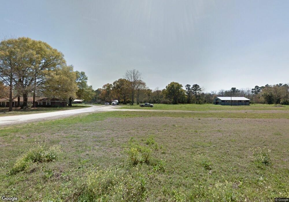
6138 Ray Phillips Rd MacClenny, FL 32063
Estimated Value: $451,000 - $514,128
--
Bed
2
Baths
2,238
Sq Ft
$211/Sq Ft
Est. Value
About This Home
This home is located at 6138 Ray Phillips Rd, MacClenny, FL 32063 and is currently estimated at $472,532, approximately $211 per square foot. 6138 Ray Phillips Rd is a home located in Baker County with nearby schools including Keller Intermediate School, MacClenny Elementary School, and Baker County Middle School.
Ownership History
Date
Name
Owned For
Owner Type
Purchase Details
Closed on
May 31, 2019
Sold by
Webb Joseph D and Webb Judith
Bought by
Webb Jamie and Webb Melissa
Current Estimated Value
Home Financials for this Owner
Home Financials are based on the most recent Mortgage that was taken out on this home.
Original Mortgage
$270,750
Outstanding Balance
$238,055
Interest Rate
4.1%
Mortgage Type
New Conventional
Estimated Equity
$234,477
Create a Home Valuation Report for This Property
The Home Valuation Report is an in-depth analysis detailing your home's value as well as a comparison with similar homes in the area
Home Values in the Area
Average Home Value in this Area
Purchase History
| Date | Buyer | Sale Price | Title Company |
|---|---|---|---|
| Webb Jamie | $285,000 | Vystar Title Agency |
Source: Public Records
Mortgage History
| Date | Status | Borrower | Loan Amount |
|---|---|---|---|
| Open | Webb Jamie | $270,750 |
Source: Public Records
Tax History Compared to Growth
Tax History
| Year | Tax Paid | Tax Assessment Tax Assessment Total Assessment is a certain percentage of the fair market value that is determined by local assessors to be the total taxable value of land and additions on the property. | Land | Improvement |
|---|---|---|---|---|
| 2024 | $2,798 | $233,171 | -- | -- |
| 2023 | $2,734 | $226,380 | $0 | $0 |
| 2022 | $2,666 | $219,786 | $0 | $0 |
| 2021 | $2,652 | $213,384 | $0 | $0 |
| 2020 | $2,638 | $210,438 | $0 | $0 |
| 2019 | $1,236 | $113,990 | $0 | $0 |
| 2018 | $1,217 | $204,977 | $0 | $0 |
| 2017 | $1,148 | $179,148 | $0 | $0 |
| 2016 | $1,144 | $173,938 | $0 | $0 |
| 2015 | $1,164 | $166,637 | $0 | $0 |
| 2014 | $1,164 | $122,964 | $0 | $0 |
Source: Public Records
Map
Nearby Homes
- 5577 Myrtle Rd
- 9332 Cedar Rd
- 10216 River Oak Cir
- 6183 George Hodges Rd
- 423 South Blvd W
- 6582 Hamilton Crews Rd
- 5893 George Hodges Rd
- 520 W Railroad Ave
- 718 Eagle Dr
- 406 Sycamore Dr
- 6300 J & M Ranch Rd
- BEAUMONT Plan at Greystone
- ROANOKE Plan at Greystone
- ABERNATHY Plan at Greystone
- GARDNER Plan at Greystone
- DUPONT Plan at Greystone
- CABOT Plan at Greystone
- 10292 Greystone Dr
- 10358 Greystone Dr
- 10315 Greystone Dr
- 5805 C W Webb Rd
- 6432 Ray Phillips Rd
- 5859 C W Webb Rd
- 5814 C W Webb Rd
- 0 C W Webb Rd
- 6512 Ray Phillips Rd
- 5926 C W Webb Rd
- 6518 Ray Phillips Rd
- 6349 Ray Phillips Rd
- 6141 C W Webb Rd
- 6101 C W Webb Rd
- 6183 C W Webb Rd
- 6215 C W Webb Rd
- 6215 W C W Webb Rd
- 5952 C W Webb Rd
- 6040 C W Webb Rd
- 5982 C W Webb Rd
- 8429 Ray Phillips Rd
- 0 Charlie Rowe Dr Unit 1126361
- 0 Charlie Rowe Dr Unit 1252778
