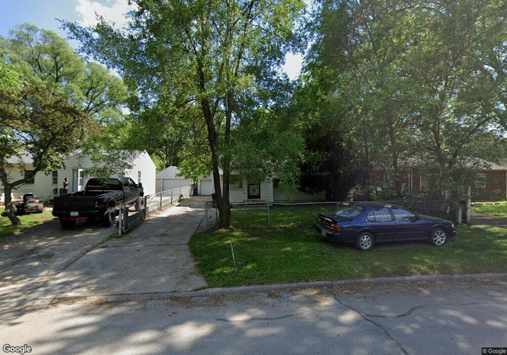
614 Anthony St Evansdale, IA 50707
Cityview NeighborhoodEstimated Value: $72,000 - $91,138
3
Beds
2
Baths
823
Sq Ft
$98/Sq Ft
Est. Value
About This Home
This home is located at 614 Anthony St, Evansdale, IA 50707 and is currently estimated at $80,535, approximately $97 per square foot. 614 Anthony St is a home located in Black Hawk County with nearby schools including Highland Elementary School, George Washington Carver Academy, and West High School.
Ownership History
Date
Name
Owned For
Owner Type
Purchase Details
Closed on
Sep 25, 2009
Sold by
Mulcahy Shawn and Mulcahy Ann
Bought by
Co Trademark Real Estate Group Llc
Current Estimated Value
Purchase Details
Closed on
May 14, 2009
Sold by
Harris Tracy L and Harris Tia L
Bought by
Be Hsbc Bank Usa Na
Purchase Details
Closed on
Mar 31, 2005
Sold by
Coley Effie M
Bought by
Harris Tracy L and Harris Tia L
Home Financials for this Owner
Home Financials are based on the most recent Mortgage that was taken out on this home.
Original Mortgage
$50,400
Interest Rate
8.95%
Mortgage Type
Adjustable Rate Mortgage/ARM
Create a Home Valuation Report for This Property
The Home Valuation Report is an in-depth analysis detailing your home's value as well as a comparison with similar homes in the area
Home Values in the Area
Average Home Value in this Area
Purchase History
| Date | Buyer | Sale Price | Title Company |
|---|---|---|---|
| Co Trademark Real Estate Group Llc | $36,500 | None Available | |
| Be Hsbc Bank Usa Na | -- | None Available | |
| Harris Tracy L | $56,000 | None Available |
Source: Public Records
Mortgage History
| Date | Status | Borrower | Loan Amount |
|---|---|---|---|
| Previous Owner | Harris Tracy L | $50,400 |
Source: Public Records
Tax History Compared to Growth
Tax History
| Year | Tax Paid | Tax Assessment Tax Assessment Total Assessment is a certain percentage of the fair market value that is determined by local assessors to be the total taxable value of land and additions on the property. | Land | Improvement |
|---|---|---|---|---|
| 2024 | $1,096 | $50,540 | $6,100 | $44,440 |
| 2023 | $740 | $50,540 | $6,100 | $44,440 |
| 2022 | $720 | $33,670 | $6,100 | $27,570 |
| 2021 | $770 | $33,670 | $6,100 | $27,570 |
| 2020 | $758 | $33,990 | $3,660 | $30,330 |
| 2019 | $758 | $33,990 | $3,660 | $30,330 |
| 2018 | $758 | $33,990 | $3,660 | $30,330 |
| 2017 | $1,092 | $33,990 | $3,660 | $30,330 |
| 2016 | $1,078 | $47,550 | $3,660 | $43,890 |
| 2015 | $1,078 | $47,550 | $3,660 | $43,890 |
| 2014 | $1,008 | $43,560 | $3,660 | $39,900 |
Source: Public Records
Map
Nearby Homes
- 701 Shirley St
- 0 Plainview & Shirley St Unit NBR20254115
- 1900 Clearview St
- 600 S View Dr
- 326 Highland Blvd
- 1446 Ruth St
- 1865 Independence Ave
- 1235 Independence Ave
- 1002 Mobile St
- 1127 Independence Ave
- 823 Glenwood St
- 0 Madison Monroe Unit NBR20253026
- 211 Madison St
- 0 Bates St
- Lot 11 & 12 Webster St
- 232 Webster St
- 630 Webster St
- 225 Halstead St
- 235 Jackson St
- 307 Oneida St
- 620 Anthony St
- 610 Anthony St
- 626 Anthony St
- 602 Anthony St
- 2306 City View St
- 605 Anthony St
- 613 Anthony St
- 619 Anthony St
- 702 Anthony St
- 625 Anthony St
- 709 Anthony St
- 2306 Plainview St
- 525 Anthony St
- 2416 City View St
- 2226 City View St
- 620 Cordell St
- 1816 Newell St
- 1822 Newell St
- 521 Anthony St
- 1828 Newell St