614 Cox Rd New Tazewell, TN 37825
Estimated Value: $118,000 - $612,000
--
Bed
1
Bath
922
Sq Ft
$366/Sq Ft
Est. Value
About This Home
This home is located at 614 Cox Rd, New Tazewell, TN 37825 and is currently estimated at $337,253, approximately $365 per square foot. 614 Cox Rd is a home located in Claiborne County.
Ownership History
Date
Name
Owned For
Owner Type
Purchase Details
Closed on
Feb 13, 1998
Sold by
Summers Hazel
Bought by
Cox James
Current Estimated Value
Home Financials for this Owner
Home Financials are based on the most recent Mortgage that was taken out on this home.
Original Mortgage
$13,028
Outstanding Balance
$2,284
Interest Rate
6.89%
Estimated Equity
$334,969
Purchase Details
Closed on
Nov 9, 1994
Sold by
Summers Hazel
Bought by
Cox James
Purchase Details
Closed on
Feb 6, 1989
Purchase Details
Closed on
Jan 3, 1989
Purchase Details
Closed on
May 25, 1988
Purchase Details
Closed on
Jan 1, 1963
Bought by
Cox T A
Create a Home Valuation Report for This Property
The Home Valuation Report is an in-depth analysis detailing your home's value as well as a comparison with similar homes in the area
Home Values in the Area
Average Home Value in this Area
Purchase History
| Date | Buyer | Sale Price | Title Company |
|---|---|---|---|
| Cox James | $9,500 | -- | |
| Cox James | $200 | -- | |
| -- | -- | -- | |
| -- | -- | -- | |
| -- | -- | -- | |
| -- | $29,600 | -- | |
| Cox T A | -- | -- |
Source: Public Records
Mortgage History
| Date | Status | Borrower | Loan Amount |
|---|---|---|---|
| Open | Cox T A | $13,028 |
Source: Public Records
Tax History Compared to Growth
Tax History
| Year | Tax Paid | Tax Assessment Tax Assessment Total Assessment is a certain percentage of the fair market value that is determined by local assessors to be the total taxable value of land and additions on the property. | Land | Improvement |
|---|---|---|---|---|
| 2024 | $765 | $32,700 | $17,550 | $15,150 |
| 2023 | $765 | $32,700 | $17,550 | $15,150 |
| 2022 | $654 | $32,700 | $17,550 | $15,150 |
| 2021 | $679 | $26,350 | $14,750 | $11,600 |
| 2020 | $679 | $26,350 | $14,750 | $11,600 |
| 2019 | $679 | $26,350 | $14,750 | $11,600 |
| 2018 | $679 | $26,350 | $14,750 | $11,600 |
| 2017 | $679 | $26,350 | $14,750 | $11,600 |
| 2016 | $758 | $29,375 | $15,350 | $14,025 |
| 2015 | $729 | $29,375 | $15,350 | $14,025 |
| 2014 | $729 | $29,379 | $0 | $0 |
Source: Public Records
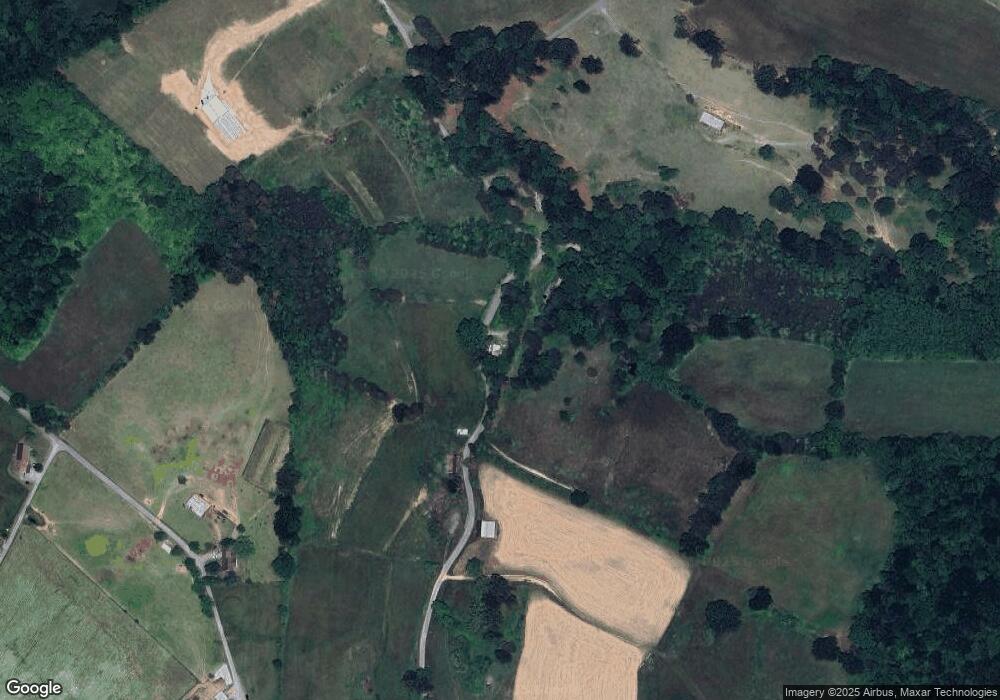
Map
Nearby Homes
- TBD Middle Ct
- 779 Goin Rd
- 592 Barren Creek Rd
- 0 Larimar Ln
- 1101 Beason Ridge Rd
- L-181 Moonstone Ln
- 0 Chestnut Grove Rd
- 112 Sunflower Ln
- 162 Wilderness Dr
- 0 Tortoiseshell Cir Unit 1301255
- 135 Jade Ln
- Lot 191 Moonstone Ln
- 454 Atkins Rd
- 146 Tanzanite Trail
- 114 Moonstone Ln
- 164 Feldspar Rd
- 0 Lot 238 Tanzanite Unit 1076069
- Lot 240 Tanzanite Trail
- Lot 440 Feldspar Rd
- 888 Smokey Quartz Blvd
- 668 Cox Rd
- 501 Citron Ln
- 254 Rock Harbor
- 568 Rock Harbour
- SMOKEY Quartz Blvd
- 4369 State Hwy 33
- 951 N Hwy 33 Broadstreet
- Lot 522 Alum Dr
- Lot 5 Longshore Dr
- 323 Keck Rd
- Tbd Raven Fork Rd
- Lot 51 Mountain Shores Rd
- 734 Cox Rd
- Lot 215 Clinch Valley Rd
- Lot 300 Marble Point Way
- Lot 652 Chimney Rock Rd
- 00 Mica Ct
- Smokey Qua Lot 294
- 2.5 ac. Whistle Valley Rd
- 43 Acres Oxford Hollow Rd