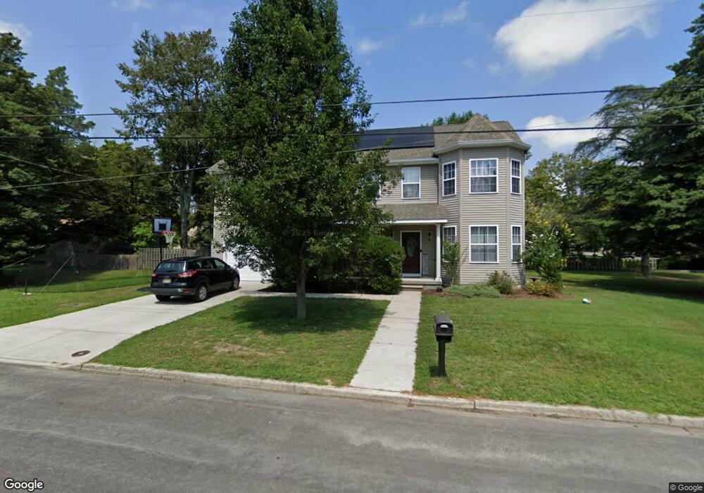
614 Hay Rd Absecon, NJ 08201
Estimated Value: $473,000 - $530,000
4
Beds
3
Baths
1,972
Sq Ft
$255/Sq Ft
Est. Value
About This Home
This home is located at 614 Hay Rd, Absecon, NJ 08201 and is currently estimated at $503,681, approximately $255 per square foot. 614 Hay Rd is a home located in Atlantic County with nearby schools including Emma C. Attales Middle School, Champion Baptist Academy, and Holy Spirit High School.
Ownership History
Date
Name
Owned For
Owner Type
Purchase Details
Closed on
Aug 2, 2011
Sold by
Corniche Properties Llc
Bought by
Scioli John and Scioli Kelsey
Current Estimated Value
Home Financials for this Owner
Home Financials are based on the most recent Mortgage that was taken out on this home.
Original Mortgage
$180,000
Outstanding Balance
$124,688
Interest Rate
4.58%
Mortgage Type
New Conventional
Estimated Equity
$378,993
Purchase Details
Closed on
Apr 1, 2010
Sold by
Risley Development Llc
Bought by
Corniche Properties Llc
Home Financials for this Owner
Home Financials are based on the most recent Mortgage that was taken out on this home.
Original Mortgage
$65,000
Interest Rate
5.03%
Mortgage Type
Seller Take Back
Create a Home Valuation Report for This Property
The Home Valuation Report is an in-depth analysis detailing your home's value as well as a comparison with similar homes in the area
Home Values in the Area
Average Home Value in this Area
Purchase History
| Date | Buyer | Sale Price | Title Company |
|---|---|---|---|
| Scioli John | $265,000 | The Title Company Of Jersey | |
| Corniche Properties Llc | $90,000 | None Available |
Source: Public Records
Mortgage History
| Date | Status | Borrower | Loan Amount |
|---|---|---|---|
| Open | Scioli John | $180,000 | |
| Previous Owner | Corniche Properties Llc | $65,000 |
Source: Public Records
Tax History Compared to Growth
Tax History
| Year | Tax Paid | Tax Assessment Tax Assessment Total Assessment is a certain percentage of the fair market value that is determined by local assessors to be the total taxable value of land and additions on the property. | Land | Improvement |
|---|---|---|---|---|
| 2025 | $7,860 | $234,900 | $86,800 | $148,100 |
| 2024 | $7,860 | $234,900 | $86,800 | $148,100 |
| 2023 | $7,766 | $234,900 | $86,800 | $148,100 |
| 2022 | $7,766 | $234,900 | $86,800 | $148,100 |
| 2021 | $7,742 | $234,900 | $86,800 | $148,100 |
| 2020 | $7,756 | $234,900 | $86,800 | $148,100 |
| 2019 | $7,700 | $234,900 | $86,800 | $148,100 |
| 2018 | $7,733 | $234,900 | $86,800 | $148,100 |
| 2017 | $7,677 | $234,900 | $86,800 | $148,100 |
| 2016 | $7,460 | $234,900 | $86,800 | $148,100 |
| 2015 | $7,364 | $234,900 | $86,800 | $148,100 |
| 2014 | $7,263 | $234,900 | $86,800 | $148,100 |
Source: Public Records
Map
Nearby Homes
- 506 Lazy Ln
- 505 Sooy Ln
- 4 E Curran Dr
- 625 N Shore Rd
- 743 N Shore Rd
- 117 E Wyoming Ave
- 621 S New York Rd
- 613 S New York Rd
- 00 California Ave
- 243 Pennsylvania Ave
- 210 Coolidge Ave
- 244 E Wyoming Ave
- 111 Woods Rd
- 194 N Shore Rd
- 202 Burning Tree Blvd
- 0 E Dickinson Ave
- 399 Pitney Rd
- 120 Pitney Rd
- 40 N Shore Rd
- 539 E Pennsylvania Ave