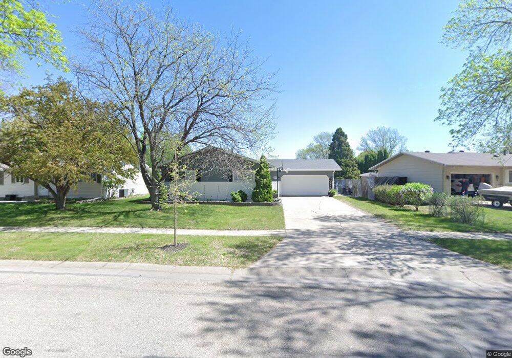
614 Maple Ln Moorhead, MN 56560
Estimated Value: $238,000 - $290,000
4
Beds
2
Baths
1,140
Sq Ft
$238/Sq Ft
Est. Value
About This Home
This home is located at 614 Maple Ln, Moorhead, MN 56560 and is currently estimated at $271,183, approximately $237 per square foot. 614 Maple Ln is a home located in Clay County with nearby schools including Dorothy Dodds Elementary School, Horizon Middle School, and Moorhead High School.
Ownership History
Date
Name
Owned For
Owner Type
Purchase Details
Closed on
Jul 31, 2008
Sold by
Hillstad Dualne M and Hillstad Colleen S
Bought by
Carlson Jason and Carlson Nicole
Current Estimated Value
Home Financials for this Owner
Home Financials are based on the most recent Mortgage that was taken out on this home.
Original Mortgage
$149,700
Outstanding Balance
$96,647
Interest Rate
6%
Mortgage Type
FHA
Estimated Equity
$174,536
Create a Home Valuation Report for This Property
The Home Valuation Report is an in-depth analysis detailing your home's value as well as a comparison with similar homes in the area
Home Values in the Area
Average Home Value in this Area
Purchase History
| Date | Buyer | Sale Price | Title Company |
|---|---|---|---|
| Carlson Jason | $151,400 | None Available |
Source: Public Records
Mortgage History
| Date | Status | Borrower | Loan Amount |
|---|---|---|---|
| Open | Carlson Jason | $149,700 |
Source: Public Records
Tax History
| Year | Tax Paid | Tax Assessment Tax Assessment Total Assessment is a certain percentage of the fair market value that is determined by local assessors to be the total taxable value of land and additions on the property. | Land | Improvement |
|---|---|---|---|---|
| 2025 | $3,732 | $266,500 | $43,200 | $223,300 |
| 2024 | $3,732 | $252,700 | $43,200 | $209,500 |
| 2023 | $3,602 | $241,100 | $43,200 | $197,900 |
| 2022 | $3,124 | $224,400 | $39,900 | $184,500 |
| 2021 | $3,116 | $202,600 | $36,600 | $166,000 |
| 2020 | $3,014 | $200,100 | $36,600 | $163,500 |
| 2019 | $2,774 | $198,500 | $36,600 | $161,900 |
| 2018 | $2,768 | $193,800 | $36,600 | $157,200 |
| 2017 | $2,520 | $193,800 | $36,600 | $157,200 |
| 2016 | $2,280 | $182,400 | $36,600 | $145,800 |
| 2015 | $1,816 | $142,200 | $31,200 | $111,000 |
| 2014 | $1,786 | $142,200 | $31,200 | $111,000 |
Source: Public Records
Map
Nearby Homes
- 706 Rensvold Blvd
- 518 Birch Ln
- 918 Rensvold Blvd
- 2305 4th Ave S
- 2907 Eagle Dr
- 429 18th St S
- 419 18th St S
- 3718 27th St S
- 3724 27th St S
- 766 36th St S
- 1715 33rd St S
- 1515 19 1 2 St S
- 1218 35th Street Cir S
- 328 30th St N
- 334 30th St N
- 1333 5th Ave S
- 1328 10th Ave S
- 1210 14th St S
- 2002 35th Street South Cir
- 1313 10th Ave S
Your Personal Tour Guide
Ask me questions while you tour the home.