Estimated Value: $228,000 - $248,000
2
Beds
1
Bath
1,020
Sq Ft
$232/Sq Ft
Est. Value
About This Home
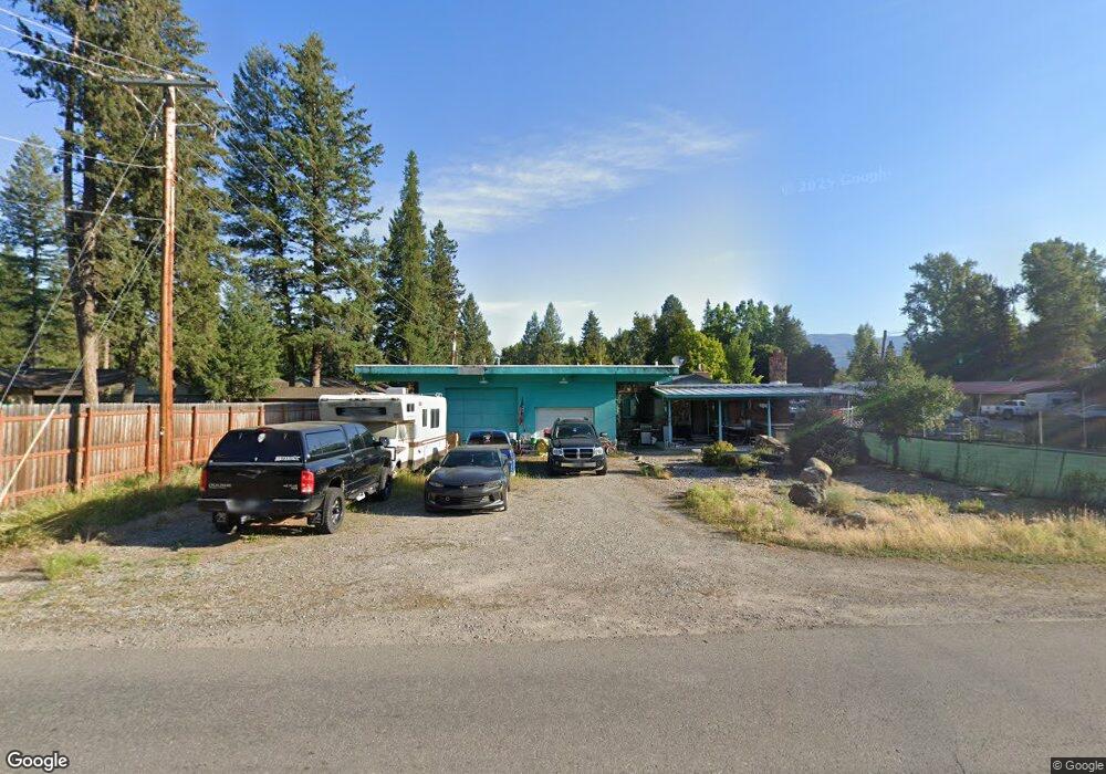
This home is located at 614 W Balsam St, Libby, MT 59923 and is currently estimated at $237,148, approximately $232 per square foot. 614 W Balsam St is a home located in Lincoln County with nearby schools including Libby Elementary School, Libby High School, and Kootenai Valley Christian School.
Ownership History
Date
Name
Owned For
Owner Type
Purchase Details
Closed on
Feb 10, 2021
Sold by
Oedewaldt Terry J and Oedewaldt Carol A
Bought by
Oedewaldt Aaron A
Current Estimated Value
Purchase Details
Closed on
Jan 19, 2017
Sold by
Oedewaldt Terry J
Bought by
Oedewaldt Terry J and Oedewaldt Carol A
Purchase Details
Closed on
Jan 12, 2017
Sold by
Oedewaldt Roger M
Bought by
Oedewaldt Terry J and Oedewaldt Carol A
Create a Home Valuation Report for This Property
The Home Valuation Report is an in-depth analysis detailing your home's value as well as a comparison with similar homes in the area
Home Values in the Area
Average Home Value in this Area
Purchase History
| Date | Buyer | Sale Price | Title Company |
|---|---|---|---|
| Oedewaldt Aaron A | -- | None Available | |
| Oedewaldt Terry J | -- | None Available | |
| Oedewaldt Terry J | -- | None Available |
Source: Public Records
Tax History Compared to Growth
Tax History
| Year | Tax Paid | Tax Assessment Tax Assessment Total Assessment is a certain percentage of the fair market value that is determined by local assessors to be the total taxable value of land and additions on the property. | Land | Improvement |
|---|---|---|---|---|
| 2025 | $810 | $216,900 | $0 | $0 |
| 2024 | $1,256 | $192,500 | $0 | $0 |
| 2023 | $1,595 | $192,500 | $0 | $0 |
| 2022 | $958 | $124,200 | $0 | $0 |
| 2021 | $1,253 | $124,200 | $0 | $0 |
| 2020 | $1,435 | $121,200 | $0 | $0 |
| 2019 | $1,420 | $121,200 | $0 | $0 |
| 2018 | $1,258 | $101,500 | $0 | $0 |
| 2017 | $956 | $101,500 | $0 | $0 |
| 2016 | $1,223 | $98,600 | $0 | $0 |
| 2015 | $735 | $98,600 | $0 | $0 |
| 2014 | $850 | $58,459 | $0 | $0 |
Source: Public Records
Map
Nearby Homes
- 1511 Main Ave
- 205 W Poplar St
- 1009 Idaho Ave
- 917 Croteau Rd
- 1111 Montana Ave
- 919 Mineral Ave
- 36811 U S Highway 2
- Nhn Montana 37
- 211 E Cedar St
- 1403 Louisiana Ave
- 808 Mineral Ave
- 712 Main Ave
- 804 Mineral Ave
- 1221 Utah Ave
- 1210 Dakota Ave
- 703 California Ave
- 1314 Dakota Ave
- 1022 Dakota Ave
- 1504 Dakota Ave
- Tbd, Lot 5 Parmenter Dr
- 1416 Cabinet Ave
- 1503 Lolo Ave
- 1425 Cabinet Ave
- 1419 Cabinet Ave
- 1504 Cabinet Ave
- 1423 Renwood Dr
- 1462 Renwood Dr
- 1413 Cabinet Ave
- 1509 Lolo Ave
- 1415 Renwood Dr
- 1411 Renwood Dr
- 1504 Lolo Ave
- 1510 Cabinet Ave
- Lot 6 Renwood Dr
- Lot 6 Renwood Dr
- 1521 Lolo Ave
- 1385 Cabinet Ave
- 1407 Cabinet Ave
- 1326 Cabinet Ave
- 1513 Lolo Ave