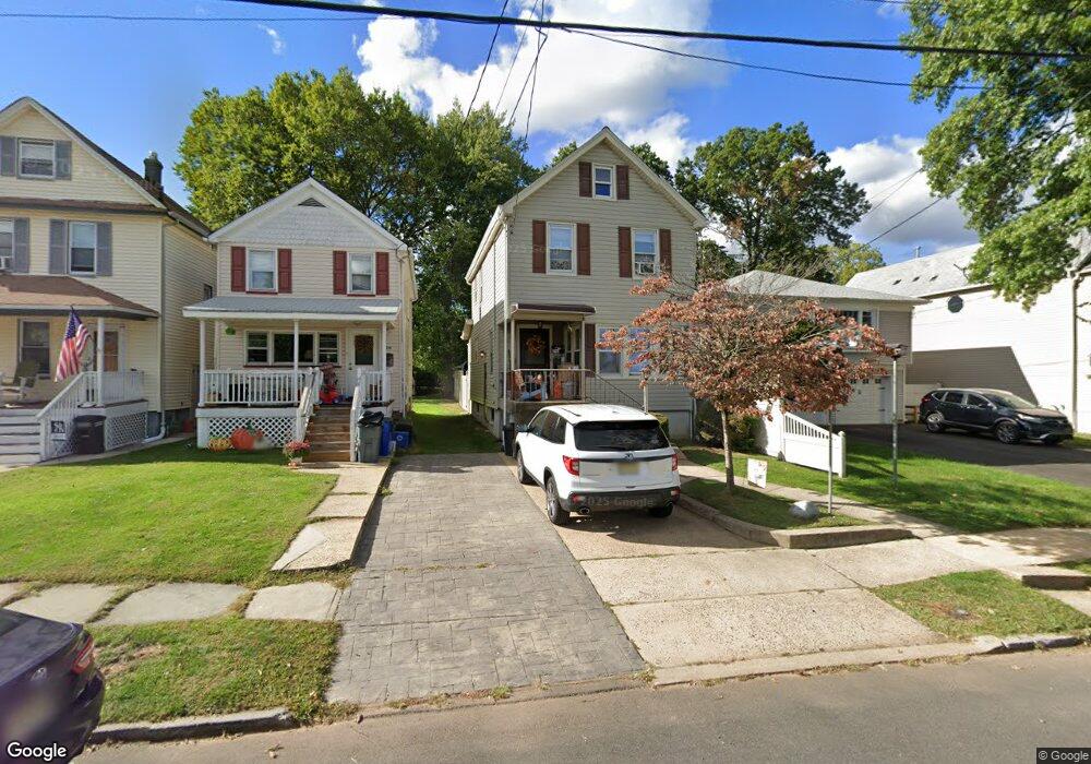
614 W Broad St Westfield, NJ 07090
Estimated Value: $438,000 - $744,000
--
Bed
--
Bath
1,357
Sq Ft
$437/Sq Ft
Est. Value
About This Home
This home is located at 614 W Broad St, Westfield, NJ 07090 and is currently estimated at $592,504, approximately $436 per square foot. 614 W Broad St is a home located in Union County with nearby schools including McKinley Elementary School, Edison Intermediate School, and Westfield Senior High School.
Ownership History
Date
Name
Owned For
Owner Type
Purchase Details
Closed on
May 26, 2022
Sold by
Flagg Phylicia J
Bought by
Monroe Traci C and Thompson Jessica P
Current Estimated Value
Home Financials for this Owner
Home Financials are based on the most recent Mortgage that was taken out on this home.
Original Mortgage
$325,600
Interest Rate
5.3%
Mortgage Type
FHA
Purchase Details
Closed on
Mar 3, 2009
Sold by
Monroe William H
Bought by
Johnson Judy P Monroe and Monroe Mark A
Create a Home Valuation Report for This Property
The Home Valuation Report is an in-depth analysis detailing your home's value as well as a comparison with similar homes in the area
Home Values in the Area
Average Home Value in this Area
Purchase History
| Date | Buyer | Sale Price | Title Company |
|---|---|---|---|
| Monroe Traci C | -- | Two Rivers Title | |
| Monroe Traci C | -- | Two Rivers Title | |
| Johnson Judy P Monroe | -- | None Available |
Source: Public Records
Mortgage History
| Date | Status | Borrower | Loan Amount |
|---|---|---|---|
| Previous Owner | Monroe Traci C | $325,600 |
Source: Public Records
Tax History Compared to Growth
Tax History
| Year | Tax Paid | Tax Assessment Tax Assessment Total Assessment is a certain percentage of the fair market value that is determined by local assessors to be the total taxable value of land and additions on the property. | Land | Improvement |
|---|---|---|---|---|
| 2025 | $8,299 | $368,500 | $242,900 | $125,600 |
| 2024 | $8,129 | $368,500 | $242,900 | $125,600 |
| 2023 | $8,129 | $368,500 | $242,900 | $125,600 |
| 2022 | $7,956 | $368,500 | $242,900 | $125,600 |
| 2021 | $7,971 | $368,500 | $242,900 | $125,600 |
| 2020 | $7,952 | $368,500 | $242,900 | $125,600 |
| 2019 | $8,826 | $410,500 | $242,900 | $167,600 |
| 2018 | $4,992 | $53,700 | $11,900 | $41,800 |
| 2017 | $4,965 | $53,700 | $11,900 | $41,800 |
| 2016 | $4,849 | $53,700 | $11,900 | $41,800 |
| 2015 | $4,752 | $53,700 | $11,900 | $41,800 |
| 2014 | $4,595 | $53,700 | $11,900 | $41,800 |
Source: Public Records
Map
Nearby Homes
- 524 Edgar Rd
- 525 Edgar Rd
- 554 Hort St
- 119 Lamberts Mill Rd
- 2154 W Broad St
- 614 Dorian Rd
- 724 South Ave W Unit 724A
- 1466 Lamberts Mill Rd
- 350 W Dudley Ave
- 538 Westfield Ave
- 522 Boulevard
- 517 Clark St
- 303 Prospect St
- 260 Prospect St Unit C15
- 779 Lamberts Mill Rd
- 2 Brookside Ct
- 215 Ross Place Unit J
- 2314 Longfellow Ave
- 2212 Shady Ln
- 203 Ross Place
- 616 W Broad St
- 610 W Broad St Unit 1st f
- 610 W Broad St
- 618 W Broad St
- 608 W Broad St
- 620 W Broad St
- 109 Palsted Ave Unit A
- 109 Palsted Ave Unit 1
- 109 Palsted Ave Unit B
- 611 Downer St
- 115 Palsted Ave
- 619 Downer St
- 104 Hyslip Ave
- 609 Downer St
- 111 Palsted Ave
- 630 W Broad St
- 625 Downer St
- 603 Downer St
- 609 W Broad St
- 108 Hyslip Ave