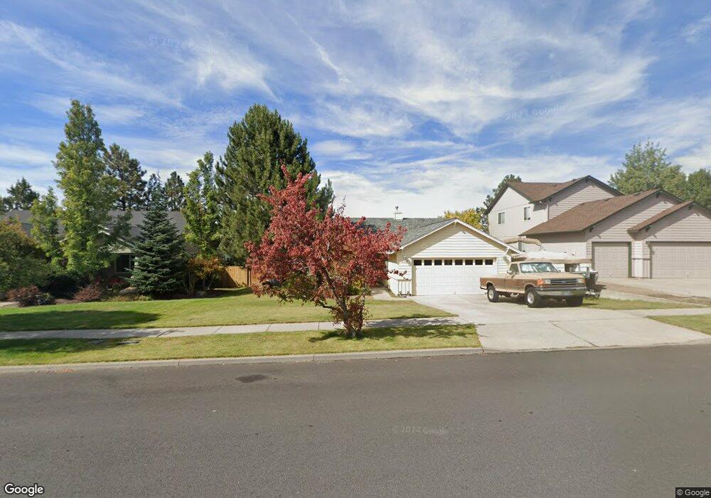
61407 Rock Bluff Ln Bend, OR 97702
Southwest Bend NeighborhoodEstimated Value: $641,000 - $667,000
3
Beds
2
Baths
1,364
Sq Ft
$479/Sq Ft
Est. Value
About This Home
This home is located at 61407 Rock Bluff Ln, Bend, OR 97702 and is currently estimated at $653,690, approximately $479 per square foot. 61407 Rock Bluff Ln is a home located in Deschutes County with nearby schools including Pine Ridge Elementary School, Cascade Middle School, and Bend Senior High School.
Ownership History
Date
Name
Owned For
Owner Type
Purchase Details
Closed on
Jan 23, 2014
Sold by
Deeks Charles F
Bought by
Deeks Donald Wesley
Current Estimated Value
Home Financials for this Owner
Home Financials are based on the most recent Mortgage that was taken out on this home.
Original Mortgage
$130,000
Outstanding Balance
$97,010
Interest Rate
4.4%
Mortgage Type
New Conventional
Estimated Equity
$556,680
Create a Home Valuation Report for This Property
The Home Valuation Report is an in-depth analysis detailing your home's value as well as a comparison with similar homes in the area
Home Values in the Area
Average Home Value in this Area
Purchase History
| Date | Buyer | Sale Price | Title Company |
|---|---|---|---|
| Deeks Donald Wesley | $190,000 | First American Title |
Source: Public Records
Mortgage History
| Date | Status | Borrower | Loan Amount |
|---|---|---|---|
| Open | Deeks Donald Wesley | $130,000 |
Source: Public Records
Tax History
| Year | Tax Paid | Tax Assessment Tax Assessment Total Assessment is a certain percentage of the fair market value that is determined by local assessors to be the total taxable value of land and additions on the property. | Land | Improvement |
|---|---|---|---|---|
| 2025 | $4,065 | $240,570 | -- | -- |
| 2024 | $3,911 | $233,570 | -- | -- |
| 2023 | $3,625 | $226,770 | $0 | $0 |
| 2022 | $3,382 | $213,760 | $0 | $0 |
| 2021 | $3,388 | $207,540 | $0 | $0 |
| 2020 | $3,214 | $207,540 | $0 | $0 |
| 2019 | $3,124 | $201,500 | $0 | $0 |
| 2018 | $3,036 | $195,640 | $0 | $0 |
| 2017 | $3,014 | $189,950 | $0 | $0 |
| 2016 | $2,877 | $184,420 | $0 | $0 |
| 2015 | $2,799 | $179,050 | $0 | $0 |
| 2014 | $2,719 | $173,840 | $0 | $0 |
Source: Public Records
Map
Nearby Homes
- 19974 Covey Ln
- 60915 SE Epic Place
- 61379 Sally Ln
- 61521 Sunny Breeze Ln
- 20079 Elizabeth Ln
- 19895 Porcupine Dr
- 20017 Voltera Place
- 20192 Reed Ln
- 20013 SW Pinewood Rd
- 19717 Mount Bachelor Dr Unit 421
- 19717 Mount Bachelor Dr Unit 617
- 19717 SW Mount Bachelor Dr Unit 118
- 19717 SW Mount Bachelor Dr Unit 154
- 19717 SW Mount Bachelor Dr Unit 328E
- 19717 SW Mount Bachelor Dr Unit 328D
- 19717 SW Mount Bachelor Dr Unit 144
- 19717 SW Mount Bachelor Dr Unit 328A
- 19717 Mt Bachelor Dr Unit 330E
- 19745 Mount Bachelor Ct
- 61176 Larkwood Dr
- 61411 Rock Bluff Ln
- 61403 Rock Bluff Ln
- 61415 Rock Bluff Ln
- 61399 Rock Bluff Ln
- 19980 Rock Bluff Cir
- 61419 Rock Bluff Ln
- 61395 Rock Bluff Ln
- 61414 Rock Bluff Ln
- 19988 Rock Bluff Cir
- 61396 Rock Bluff Ln
- 61391 Rock Bluff Ln
- 61423 Rock Bluff Ln
- 19994 Rock Bluff Cir
- 61390 Rock Bluff Ln
- 19975 Rock Bluff Cir
- 61427 Rock Bluff Ln
- 61387 Rock Bluff Ln
- 19981 Rock Bluff Cir
- 20000 Rock Bluff Cir
- 19987 Rock Bluff Cir