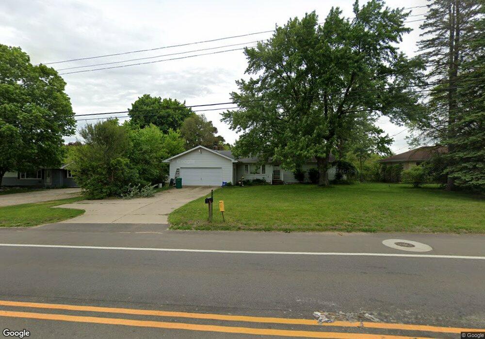
6141 Morgan Rd E Battle Creek, MI 49017
Estimated Value: $180,000 - $194,000
3
Beds
1
Bath
1,848
Sq Ft
$102/Sq Ft
Est. Value
About This Home
This home is located at 6141 Morgan Rd E, Battle Creek, MI 49017 and is currently estimated at $187,923, approximately $101 per square foot. 6141 Morgan Rd E is a home located in Calhoun County with nearby schools including Pennfield Purdy School, Pennfield Dunlap Elementary School, and Pennfield Middle School.
Ownership History
Date
Name
Owned For
Owner Type
Purchase Details
Closed on
Nov 9, 2016
Sold by
Morales Melissa R
Bought by
Morales Melissa R and Melissa R Morales Living Trust
Current Estimated Value
Purchase Details
Closed on
Mar 18, 2010
Sold by
Mortgage Electronic Registration Systems
Bought by
Federal National Mortgage Association
Purchase Details
Closed on
Aug 13, 2009
Sold by
Patterson Samantha
Bought by
Mortgage Electronic Registration Systems
Purchase Details
Closed on
May 11, 2007
Sold by
Gay Merrilynn and Misner Max Donald
Bought by
Patterson Samantha
Home Financials for this Owner
Home Financials are based on the most recent Mortgage that was taken out on this home.
Original Mortgage
$107,000
Interest Rate
6.21%
Mortgage Type
Purchase Money Mortgage
Create a Home Valuation Report for This Property
The Home Valuation Report is an in-depth analysis detailing your home's value as well as a comparison with similar homes in the area
Home Values in the Area
Average Home Value in this Area
Purchase History
| Date | Buyer | Sale Price | Title Company |
|---|---|---|---|
| Morales Melissa R | -- | Attorney | |
| Federal National Mortgage Association | -- | None Available | |
| Mortgage Electronic Registration Systems | $117,158 | None Available | |
| Patterson Samantha | $107,000 | Chicago Title |
Source: Public Records
Mortgage History
| Date | Status | Borrower | Loan Amount |
|---|---|---|---|
| Previous Owner | Patterson Samantha | $107,000 |
Source: Public Records
Tax History
| Year | Tax Paid | Tax Assessment Tax Assessment Total Assessment is a certain percentage of the fair market value that is determined by local assessors to be the total taxable value of land and additions on the property. | Land | Improvement |
|---|---|---|---|---|
| 2025 | $1,673 | $83,000 | $0 | $0 |
| 2024 | $742 | $76,300 | $0 | $0 |
| 2023 | $1,437 | $51,950 | $0 | $0 |
| 2022 | $673 | $38,490 | $0 | $0 |
| 2021 | $1,443 | $36,800 | $0 | $0 |
| 2020 | $1,417 | $36,520 | $0 | $0 |
| 2019 | $1,370 | $35,950 | $0 | $0 |
| 2018 | $1,235 | $38,000 | $6,520 | $31,480 |
| 2017 | $0 | $34,820 | $0 | $0 |
| 2016 | $0 | $32,460 | $0 | $0 |
| 2015 | -- | $31,500 | $7,369 | $24,131 |
| 2014 | -- | $29,430 | $7,369 | $22,061 |
Source: Public Records
Map
Nearby Homes
- 145 Eastwood Dr
- 7 Riviera Dr N
- 116 Fleetwood Dr
- 38 Coolidge Ave W
- 341 Algonquin St
- 231 Eden Rd
- 62 Coolidge Ave W
- 219 Redner Ave
- 311 Alton Ave
- 178 Saratoga Ave
- 19687 East Ave N
- 62 Stuart Blvd
- 117 W Meadowlawn Ave
- 19300 East Ave N
- V/L Wilds St Unit 116
- V/L Wilds St Unit 112
- 116 Wilds St
- 20100 East Ave N
- 42 Gardenia St
- 124 Wilds Ave
- 6123 Morgan Rd E
- 6159 Morgan Rd E
- 150 Norave Dr
- 6105 Morgan Rd E
- 144 Norave Dr
- 6140 Morgan Rd E
- 6118 Morgan Rd E
- 138 Norave Dr
- 6162 Morgan Rd E
- 6195 Morgan Rd E
- 6087 Morgan Rd E
- 6096 Morgan Rd E
- 6184 Morgan Rd E
- 132 Norave Dr
- 6206 Morgan Rd E
- 6069 Morgan Rd E
- 123 Wilson Circle Dr
- 149 Norave Dr
- 122 La Vita St
- 143 Norave Dr
Your Personal Tour Guide
Ask me questions while you tour the home.