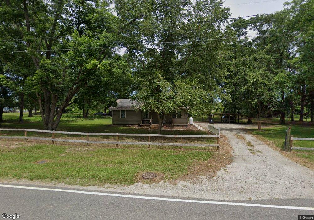
6141 X Way Rd Gibson, NC 28343
Estimated Value: $84,000 - $114,881
2
Beds
1
Bath
1,092
Sq Ft
$95/Sq Ft
Est. Value
About This Home
This home is located at 6141 X Way Rd, Gibson, NC 28343 and is currently estimated at $103,470, approximately $94 per square foot. 6141 X Way Rd is a home located in Scotland County with nearby schools including Carver Middle School and Scotland High School.
Ownership History
Date
Name
Owned For
Owner Type
Purchase Details
Closed on
Jul 24, 2024
Sold by
Swinney Michael
Bought by
Swinney Michael and Swinney Ammiel
Current Estimated Value
Purchase Details
Closed on
Aug 2, 2023
Sold by
Whitfield Tina T
Bought by
Swinney Michael
Purchase Details
Closed on
Aug 17, 2006
Sold by
Green Pond Enterprises Llc
Bought by
Swinney Michael and Swinney Tina T
Home Financials for this Owner
Home Financials are based on the most recent Mortgage that was taken out on this home.
Original Mortgage
$65,900
Interest Rate
6.25%
Mortgage Type
Adjustable Rate Mortgage/ARM
Create a Home Valuation Report for This Property
The Home Valuation Report is an in-depth analysis detailing your home's value as well as a comparison with similar homes in the area
Purchase History
| Date | Buyer | Sale Price | Title Company |
|---|---|---|---|
| Swinney Michael | -- | None Listed On Document | |
| Swinney Michael | -- | None Listed On Document | |
| Swinney Michael | $65,000 | None Available |
Source: Public Records
Mortgage History
| Date | Status | Borrower | Loan Amount |
|---|---|---|---|
| Previous Owner | Swinney Michael | $65,900 |
Source: Public Records
Tax History
| Year | Tax Paid | Tax Assessment Tax Assessment Total Assessment is a certain percentage of the fair market value that is determined by local assessors to be the total taxable value of land and additions on the property. | Land | Improvement |
|---|---|---|---|---|
| 2025 | $1,201 | $66,600 | $10,140 | $56,460 |
| 2024 | $12 | $66,600 | $10,140 | $56,460 |
| 2023 | $1,201 | $66,600 | $10,140 | $56,460 |
| 2022 | $1,167 | $66,600 | $10,140 | $56,460 |
| 2021 | $1,174 | $66,600 | $10,140 | $56,460 |
| 2020 | $1,163 | $66,600 | $10,140 | $56,460 |
| 2019 | $1,174 | $66,600 | $10,140 | $56,460 |
| 2018 | $1,145 | $64,890 | $8,580 | $56,310 |
| 2017 | $1,152 | $64,890 | $8,580 | $56,310 |
| 2016 | $1,158 | $64,890 | $8,580 | $56,310 |
| 2015 | $1,165 | $64,890 | $8,580 | $56,310 |
| 2014 | $1,110 | $0 | $0 | $0 |
Source: Public Records
Map
Nearby Homes
- 6021 X Way Rd
- 4781 Main St
- 4320 Main St
- 14081 Oil Mill Rd
- 14521 Saint Johns Church Rd
- 8701 X Way Rd
- 1652 S Carolina 381
- 15680 Smith Rd
- 16487 Saint Johns Church Rd
- 17341 Lauch Blue Rd
- 14167 Old Stage Rd
- 6851 Old Wire Rd
- 10281 Gibson Rd
- 0000 Jesse Smith Rd
- 10321 Sierra Cir
- TBD Hwy 385 & Family Farm Rd
- 10 Bobwhite Trail
- 1751 S Carolina 385
- 17808 Hamlet Rd
- Tbd Cedar Ln
Your Personal Tour Guide
Ask me questions while you tour the home.