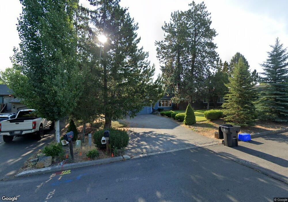
61412 Duncan Ln Bend, OR 97702
Southern Crossing NeighborhoodEstimated Value: $666,785 - $791,000
3
Beds
2
Baths
1,380
Sq Ft
$528/Sq Ft
Est. Value
About This Home
This home is located at 61412 Duncan Ln, Bend, OR 97702 and is currently estimated at $728,196, approximately $527 per square foot. 61412 Duncan Ln is a home located in Deschutes County with nearby schools including Pine Ridge Elementary School, Cascade Middle School, and Bend Senior High School.
Ownership History
Date
Name
Owned For
Owner Type
Purchase Details
Closed on
Aug 9, 2019
Sold by
Keefe Betty O
Bought by
Belden Audrey A and Keefe Michael L O
Current Estimated Value
Home Financials for this Owner
Home Financials are based on the most recent Mortgage that was taken out on this home.
Original Mortgage
$400,475
Outstanding Balance
$349,980
Interest Rate
3.7%
Mortgage Type
New Conventional
Estimated Equity
$378,216
Create a Home Valuation Report for This Property
The Home Valuation Report is an in-depth analysis detailing your home's value as well as a comparison with similar homes in the area
Home Values in the Area
Average Home Value in this Area
Purchase History
| Date | Buyer | Sale Price | Title Company |
|---|---|---|---|
| Belden Audrey A | $415,000 | First American Title |
Source: Public Records
Mortgage History
| Date | Status | Borrower | Loan Amount |
|---|---|---|---|
| Open | Belden Audrey A | $400,475 |
Source: Public Records
Tax History Compared to Growth
Tax History
| Year | Tax Paid | Tax Assessment Tax Assessment Total Assessment is a certain percentage of the fair market value that is determined by local assessors to be the total taxable value of land and additions on the property. | Land | Improvement |
|---|---|---|---|---|
| 2025 | $4,497 | $266,180 | -- | -- |
| 2024 | $4,327 | $258,430 | -- | -- |
| 2023 | $4,011 | $250,910 | $0 | $0 |
| 2022 | $3,742 | $236,520 | $0 | $0 |
| 2021 | $3,748 | $229,640 | $0 | $0 |
| 2020 | $3,556 | $229,640 | $0 | $0 |
| 2019 | $3,457 | $222,960 | $0 | $0 |
| 2018 | $3,360 | $216,470 | $0 | $0 |
| 2017 | $3,261 | $210,170 | $0 | $0 |
| 2016 | $3,110 | $204,050 | $0 | $0 |
| 2015 | $3,024 | $198,110 | $0 | $0 |
| 2014 | $2,935 | $192,340 | $0 | $0 |
Source: Public Records
Map
Nearby Homes
- 20184 Merriewood Ln
- 20192 Reed Ln
- 20085 Sally Ct
- 61379 Sally Ln
- 1317 SW Boardwalk Ln
- 61388 Elkhorn St
- 20082 Beth Ave
- 61574 SW Blakely Rd
- 20076 Mount Hope Ln
- 61369 Elkhorn St
- 1283 SW Mill Pond Place Unit 100 200 300
- 61344 Elkhorn St
- 20289 Knightsbridge Place
- 1217 SW Bryanwood Place
- 20050 Elizabeth Ln
- 61521 Sunny Breeze Ln
- 1217 SW Tanner Ct
- 61280 Parrell Rd Unit 10
- 1175 SW Chamberlain St
- 20250 Narnia Place
- 61408 Duncan Ln
- 61420 Duncan Ln
- 61404 Duncan Ln
- 20220 Merriewood Ln
- 20216 Merriewood Ln
- 20133 Cumulus Ln
- 61428 Duncan Ln
- 20128 Cumulus Ln
- 61391 Merriewood Ct
- 20138 Cirrus Ct
- 20235 Merriewood Ln
- 20127 Cumulus Ln
- 20208 Merriewood Ln
- 20231 Merriewood Ln
- 61383 Merriewood Ct
- 61394 Duncan Ln
- 20132 Cirrus Ct
- 20227 Merriewood Ln
- 61436 Duncan Ln