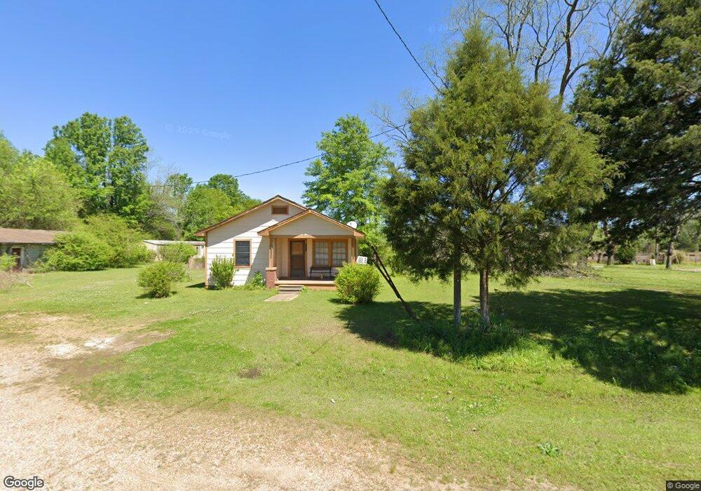
6143 Joe B Amos Rd West Point, MS 39773
Estimated Value: $109,000 - $156,000
3
Beds
--
Bath
1,899
Sq Ft
$72/Sq Ft
Est. Value
About This Home
This home is located at 6143 Joe B Amos Rd, West Point, MS 39773 and is currently estimated at $136,220, approximately $71 per square foot. 6143 Joe B Amos Rd is a home located in Clay County with nearby schools including East Side Elementary School, West Clay Elementary School, and Church Hill Elementary School.
Ownership History
Date
Name
Owned For
Owner Type
Purchase Details
Closed on
Jun 5, 2025
Sold by
Amos Joe B
Bought by
Amos Joe B and Amos Joel Keith
Current Estimated Value
Purchase Details
Closed on
Aug 13, 2024
Sold by
Moore Audrey
Bought by
Amos Joe B
Purchase Details
Closed on
Mar 15, 2024
Sold by
Coe Sandra
Bought by
Amos Joe B
Create a Home Valuation Report for This Property
The Home Valuation Report is an in-depth analysis detailing your home's value as well as a comparison with similar homes in the area
Home Values in the Area
Average Home Value in this Area
Purchase History
| Date | Buyer | Sale Price | Title Company |
|---|---|---|---|
| Amos Joe B | -- | None Listed On Document | |
| Amos Joe B | -- | None Listed On Document | |
| Amos Joe B | -- | None Listed On Document | |
| Amos Joe B | -- | None Listed On Document | |
| Amos Joe B | -- | None Listed On Document |
Source: Public Records
Tax History Compared to Growth
Tax History
| Year | Tax Paid | Tax Assessment Tax Assessment Total Assessment is a certain percentage of the fair market value that is determined by local assessors to be the total taxable value of land and additions on the property. | Land | Improvement |
|---|---|---|---|---|
| 2024 | $209 | $7,418 | $741 | $6,677 |
| 2023 | $421 | $7,424 | $747 | $6,677 |
| 2022 | $205 | $7,429 | $752 | $6,677 |
| 2021 | $205 | $7,435 | $758 | $6,677 |
| 2020 | $206 | $7,442 | $765 | $6,677 |
| 2019 | $203 | $7,708 | $761 | $6,947 |
| 2018 | $194 | $7,706 | $759 | $6,947 |
| 2017 | $195 | $7,716 | $769 | $6,947 |
| 2016 | $187 | $7,701 | $754 | $6,947 |
| 2015 | $174 | $6,906 | $740 | $6,166 |
| 2014 | -- | $6,893 | $727 | $6,166 |
| 2013 | -- | $6,882 | $716 | $6,166 |
Source: Public Records
Map
Nearby Homes
- 1671 Bennett Rd
- 249 Joe B Amos Dr
- 1230 Bennett Rd
- 1256 Bennett Rd
- 5678 Lane Rd
- 579 Community Center Rd
- 1278 Bennett Rd
- 6336 Community Center Rd
- 1301 Bennett Rd
- 424 Community Center Rd
- 5684 Wicks Rd
- 0 Community Center Rd
- 385 Community Center Rd
- 78 Gunn Dr
- 23 Community Center Ln
- 42 Gunn Dr
- 92 Gunn Dr
- 4812 Rendering Plant Rd
- 4425 Rendering Plant Rd
- 3876 Gunn Rd