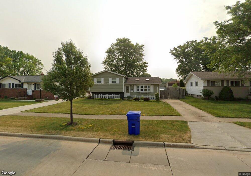
6147 Fry Rd Brookpark, OH 44142
Estimated Value: $198,486 - $246,000
3
Beds
1
Bath
1,444
Sq Ft
$153/Sq Ft
Est. Value
About This Home
This home is located at 6147 Fry Rd, Brookpark, OH 44142 and is currently estimated at $221,122, approximately $153 per square foot. 6147 Fry Rd is a home located in Cuyahoga County with nearby schools including Berea-Midpark Middle School, Berea-Midpark High School, and Huber Heights Preparatory Academy Parma Academy.
Ownership History
Date
Name
Owned For
Owner Type
Purchase Details
Closed on
Apr 19, 1991
Sold by
Ahola Mark E
Bought by
Navarro Raymond A
Current Estimated Value
Purchase Details
Closed on
Oct 30, 1986
Sold by
Albensi Philip O
Bought by
Ahola Mark E
Purchase Details
Closed on
Oct 19, 1983
Sold by
Luzicka Milan N
Bought by
Albensi Philip O
Purchase Details
Closed on
May 26, 1978
Sold by
Chichy Frank J and Chichy Lila L
Bought by
Luzicka Milan N
Purchase Details
Closed on
Jan 1, 1975
Bought by
Chichy Frank J and Chichy Lila L
Create a Home Valuation Report for This Property
The Home Valuation Report is an in-depth analysis detailing your home's value as well as a comparison with similar homes in the area
Home Values in the Area
Average Home Value in this Area
Purchase History
| Date | Buyer | Sale Price | Title Company |
|---|---|---|---|
| Navarro Raymond A | $82,500 | -- | |
| Ahola Mark E | $64,000 | -- | |
| Albensi Philip O | $58,000 | -- | |
| Luzicka Milan N | $51,500 | -- | |
| Chichy Frank J | -- | -- |
Source: Public Records
Tax History
| Year | Tax Paid | Tax Assessment Tax Assessment Total Assessment is a certain percentage of the fair market value that is determined by local assessors to be the total taxable value of land and additions on the property. | Land | Improvement |
|---|---|---|---|---|
| 2024 | $2,777 | $55,055 | $11,970 | $43,085 |
| 2023 | $2,933 | $48,160 | $10,220 | $37,940 |
| 2022 | $2,913 | $48,160 | $10,220 | $37,940 |
| 2021 | $2,896 | $48,160 | $10,220 | $37,940 |
| 2020 | $2,611 | $38,220 | $8,120 | $30,100 |
| 2019 | $2,533 | $109,200 | $23,200 | $86,000 |
| 2018 | $2,392 | $38,220 | $8,120 | $30,100 |
| 2017 | $2,449 | $34,270 | $7,560 | $26,710 |
| 2016 | $2,429 | $34,270 | $7,560 | $26,710 |
| 2015 | $2,400 | $34,270 | $7,560 | $26,710 |
| 2014 | $2,400 | $36,090 | $7,950 | $28,140 |
Source: Public Records
Map
Nearby Homes
- 6330 Ledgebrook Dr
- 6330 Sandfield Dr
- 15424 Holland Rd
- 5952 Delores Blvd
- 6377 Ledgebrook Dr
- 6386 Sandfield Dr
- 16159 Bowfin Blvd
- 6016 Gilmere Dr
- 16379 Hummel Rd
- 14801 Larkfield Dr
- 14761 Larkfield Dr
- 6213 Siegler Dr
- 6095 Stark Dr
- 6728 Benedict Dr
- 6490 Grosse Dr
- 6707 Woodruff Ct
- 6748 Benedict Dr
- 6752 Benedict Dr
- 6720 Benedict Dr
- 6744 Benedict Dr
Your Personal Tour Guide
Ask me questions while you tour the home.