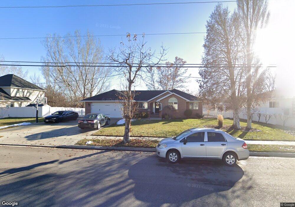
6147 W 9600 N Highland, UT 84003
Estimated Value: $674,000 - $767,000
3
Beds
3
Baths
3,150
Sq Ft
$231/Sq Ft
Est. Value
About This Home
This home is located at 6147 W 9600 N, Highland, UT 84003 and is currently estimated at $728,252, approximately $231 per square foot. 6147 W 9600 N is a home located in Utah County with nearby schools including Legacy Elementary School, Mountain Ridge Junior High School, and American Fork High School.
Ownership History
Date
Name
Owned For
Owner Type
Purchase Details
Closed on
Jul 22, 1999
Sold by
Sparks Iva Lue and Sparks Ray Arthur
Bought by
Wesemann Michael R and Wesemann Kazue
Current Estimated Value
Home Financials for this Owner
Home Financials are based on the most recent Mortgage that was taken out on this home.
Original Mortgage
$75,000
Outstanding Balance
$20,925
Interest Rate
7.51%
Estimated Equity
$707,327
Create a Home Valuation Report for This Property
The Home Valuation Report is an in-depth analysis detailing your home's value as well as a comparison with similar homes in the area
Home Values in the Area
Average Home Value in this Area
Purchase History
| Date | Buyer | Sale Price | Title Company |
|---|---|---|---|
| Wesemann Michael R | -- | Signature Title |
Source: Public Records
Mortgage History
| Date | Status | Borrower | Loan Amount |
|---|---|---|---|
| Open | Wesemann Michael R | $75,000 |
Source: Public Records
Tax History Compared to Growth
Tax History
| Year | Tax Paid | Tax Assessment Tax Assessment Total Assessment is a certain percentage of the fair market value that is determined by local assessors to be the total taxable value of land and additions on the property. | Land | Improvement |
|---|---|---|---|---|
| 2025 | $2,736 | $361,075 | $314,100 | $342,400 |
| 2024 | $2,736 | $337,975 | $0 | $0 |
| 2023 | $2,541 | $338,580 | $0 | $0 |
| 2022 | $2,730 | $352,770 | $0 | $0 |
| 2021 | $2,372 | $456,500 | $178,100 | $278,400 |
| 2020 | $2,239 | $422,600 | $154,900 | $267,700 |
| 2019 | $1,964 | $387,700 | $154,900 | $232,800 |
| 2018 | $1,884 | $353,500 | $151,100 | $202,400 |
| 2017 | $1,713 | $171,600 | $0 | $0 |
| 2016 | $1,749 | $163,680 | $0 | $0 |
| 2015 | $1,783 | $158,180 | $0 | $0 |
| 2014 | $1,789 | $157,300 | $0 | $0 |
Source: Public Records
Map
Nearby Homes