6149 Trask Rd Thompson, OH 44086
Estimated Value: $276,619 - $437,000
3
Beds
2
Baths
2,016
Sq Ft
$175/Sq Ft
Est. Value
About This Home
This home is located at 6149 Trask Rd, Thompson, OH 44086 and is currently estimated at $352,905, approximately $175 per square foot. 6149 Trask Rd is a home located in Lake County with nearby schools including Henry F. Lamuth Middle School and Riverside Junior/Senior High School.
Ownership History
Date
Name
Owned For
Owner Type
Purchase Details
Closed on
Jul 13, 1997
Sold by
Stowe Patricia E and Calhoun Patricia E
Bought by
Bardzilauskas Michael J and Bardzilauskas Laura A
Current Estimated Value
Home Financials for this Owner
Home Financials are based on the most recent Mortgage that was taken out on this home.
Original Mortgage
$122,700
Interest Rate
7.94%
Mortgage Type
FHA
Purchase Details
Closed on
Apr 8, 1994
Bought by
Calhoun Patricia E
Create a Home Valuation Report for This Property
The Home Valuation Report is an in-depth analysis detailing your home's value as well as a comparison with similar homes in the area
Purchase History
| Date | Buyer | Sale Price | Title Company |
|---|---|---|---|
| Bardzilauskas Michael J | $126,500 | Midland Title Security Inc | |
| Calhoun Patricia E | -- | -- |
Source: Public Records
Mortgage History
| Date | Status | Borrower | Loan Amount |
|---|---|---|---|
| Previous Owner | Bardzilauskas Michael J | $122,700 |
Source: Public Records
Tax History
| Year | Tax Paid | Tax Assessment Tax Assessment Total Assessment is a certain percentage of the fair market value that is determined by local assessors to be the total taxable value of land and additions on the property. | Land | Improvement |
|---|---|---|---|---|
| 2025 | $1,791 | $81,150 | $18,250 | $62,900 |
| 2024 | -- | $81,150 | $18,250 | $62,900 |
| 2023 | $4,049 | $72,330 | $12,670 | $59,660 |
| 2022 | $3,807 | $72,330 | $12,670 | $59,660 |
| 2021 | $3,819 | $72,330 | $12,670 | $59,660 |
| 2020 | $3,605 | $60,270 | $10,560 | $49,710 |
| 2019 | $3,636 | $60,270 | $10,560 | $49,710 |
| 2018 | $3,505 | $62,540 | $12,040 | $50,500 |
| 2017 | $3,816 | $62,540 | $12,040 | $50,500 |
| 2016 | $3,514 | $62,540 | $12,040 | $50,500 |
| 2015 | $3,327 | $62,540 | $12,040 | $50,500 |
| 2014 | $3,387 | $62,540 | $12,040 | $50,500 |
| 2013 | $3,330 | $62,540 | $12,040 | $50,500 |
Source: Public Records
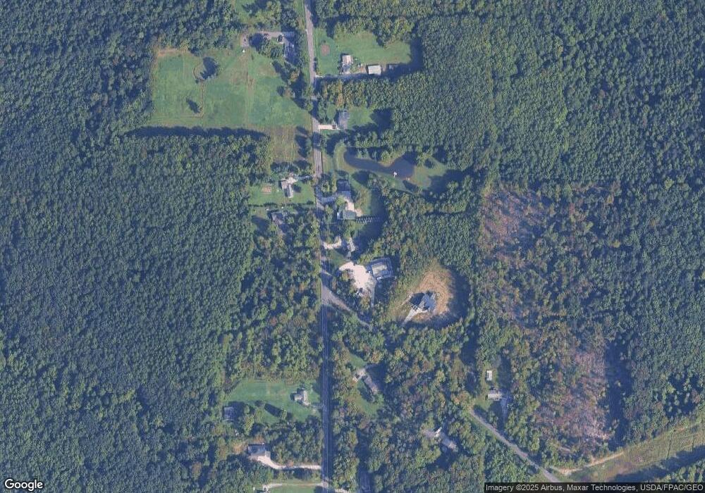
Map
Nearby Homes
- 15594 Moseley Rd
- 6615 Clay St
- 13537 Shirley Dr
- V/L Leroy Center Rd
- 16107 Moseley Rd
- 6042 Ford Rd
- 5004 River Rd
- 5040 River Rd
- 5810 Dewey Rd
- 4785 Riverwood Dr
- 13849 Painesville Warren Rd
- 4725 Webb Rd
- 7771 Lester Dr
- V/L 2 Leroy Center Rd
- 4671 Milford Dr
- V/L 4 Painesville Warren Rd
- V/L 5 Painesville Warren Rd
- V/L 3 Painesville Warren Rd
- 7857 Lester Dr
- 4454 S Ridge Rd
- 6147 Trask Rd
- 1 TBB Brockway Rd
- 6158 Trask Rd
- 6134 Trask Rd
- 14601 Trask Rd
- 6113 Trask Rd
- 6205 Trask Rd
- 6103 Trask Rd
- 14641 Trask Rd
- 6062 Trask Rd Unit 2
- 6062 Trask Rd Unit 1
- 6214 Brockway Rd
- 6201 Trask Rd
- 6191 Trask Rd
- 6220 Trask Rd
- 6249 Brockway Rd
- 0 Trask Rd Unit 3992596
- 0 Trask Rd Unit 3221447
- 0 Trask Rd Unit 3231453
- 0 Trask Rd Unit 3386261
Your Personal Tour Guide
Ask me questions while you tour the home.